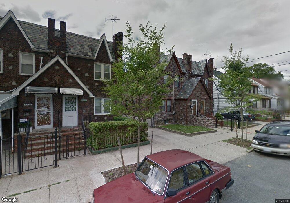
19432 112th Ave Saint Albans, NY 11412
Hollis NeighborhoodEstimated Value: $596,000 - $699,000
--
Bed
--
Bath
1,440
Sq Ft
$437/Sq Ft
Est. Value
About This Home
This home is located at 19432 112th Ave, Saint Albans, NY 11412 and is currently estimated at $628,760, approximately $436 per square foot. 19432 112th Ave is a home located in Queens County with nearby schools including P.S. 118 Lorraine Hansberry, I.S. 192 The Linden, and True Deliverance Christian School.
Ownership History
Date
Name
Owned For
Owner Type
Purchase Details
Closed on
Nov 10, 2023
Sold by
Mckinley Edwin R and Mckinley Florence O
Bought by
Mckinley Edwin R
Current Estimated Value
Create a Home Valuation Report for This Property
The Home Valuation Report is an in-depth analysis detailing your home's value as well as a comparison with similar homes in the area
Home Values in the Area
Average Home Value in this Area
Purchase History
| Date | Buyer | Sale Price | Title Company |
|---|---|---|---|
| Mckinley Edwin R | -- | -- |
Source: Public Records
Tax History Compared to Growth
Tax History
| Year | Tax Paid | Tax Assessment Tax Assessment Total Assessment is a certain percentage of the fair market value that is determined by local assessors to be the total taxable value of land and additions on the property. | Land | Improvement |
|---|---|---|---|---|
| 2025 | $5,188 | $27,946 | $7,637 | $20,309 |
| 2024 | $5,200 | $27,228 | $8,822 | $18,406 |
| 2023 | $4,972 | $26,154 | $7,211 | $18,943 |
| 2022 | $4,716 | $34,020 | $11,100 | $22,920 |
| 2021 | $4,605 | $31,020 | $11,100 | $19,920 |
| 2020 | $4,633 | $26,700 | $11,100 | $15,600 |
| 2019 | $4,454 | $28,020 | $11,100 | $16,920 |
| 2018 | $4,145 | $21,795 | $9,600 | $12,195 |
| 2017 | $3,893 | $20,568 | $8,570 | $11,998 |
| 2016 | $3,570 | $20,568 | $8,570 | $11,998 |
| 2015 | $2,120 | $19,407 | $9,970 | $9,437 |
| 2014 | $2,120 | $18,909 | $11,129 | $7,780 |
Source: Public Records
Map
Nearby Homes
- 194-16 112th Ave
- 194-29 112th Ave
- 19432 113th Rd
- 194- 24 111th Rd
- 19445 Murdock Ave
- 19427 Murdock Ave
- 190-63 112th Ave
- 191-40 112th Rd
- 190-59 112th Ave
- 194-42 Murdock Ave
- 194-56 Murdock Ave
- 19431 114th Rd
- 113-40 198th St
- 112-28 199th St
- 11132 199th St
- 114-22 197th St
- 19404 110th Rd
- 19022 111th Rd
- 191-34 114th Rd
- 114-28 198th St
- 194-30 112th Ave
- 19436 112th Ave
- 19430 112th Ave
- 194-38 112th Ave
- 19438 112th Ave
- 19428 112th Ave
- 19440 112th Ave
- 19424 112th Ave
- 19431 112th Rd
- 19433 112th Rd
- 19435 112th Rd
- 19427 112th Rd
- 19422 112th Ave
- 194-44 112 Ave
- 19439 112th Rd
- 19444 112th Ave
- 19425 112th Rd
- 194-35 112th Rd
- 194-27 112th Rd
- 194-44 112th Ave