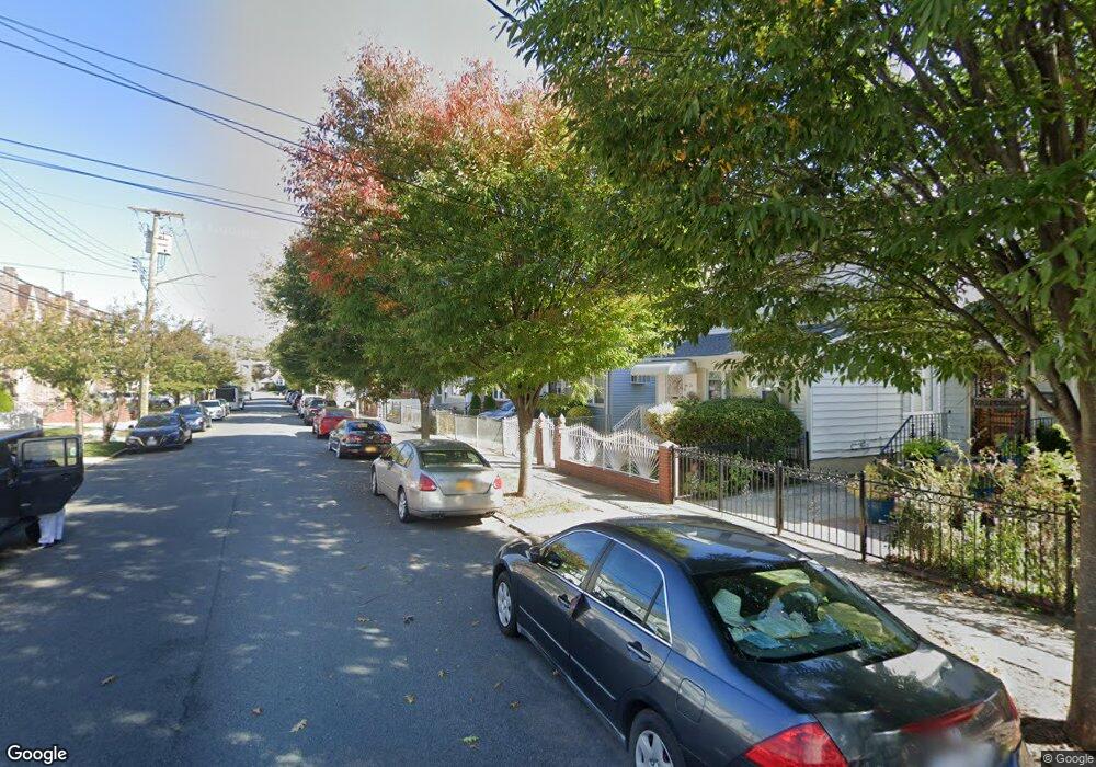
19432 112th Rd Saint Albans, NY 11412
Hollis NeighborhoodEstimated Value: $661,000 - $722,000
--
Bed
--
Bath
1,682
Sq Ft
$415/Sq Ft
Est. Value
About This Home
This home is located at 19432 112th Rd, Saint Albans, NY 11412 and is currently estimated at $697,664, approximately $414 per square foot. 19432 112th Rd is a home located in Queens County with nearby schools including P.S. 118 Lorraine Hansberry, I.S. 192 The Linden, and True Deliverance Christian School.
Ownership History
Date
Name
Owned For
Owner Type
Purchase Details
Closed on
Oct 15, 2020
Sold by
Johns Dannett and Maureen Grant Trustee
Bought by
Gonzalez Jeimy M and Gonzalez Manuel
Current Estimated Value
Home Financials for this Owner
Home Financials are based on the most recent Mortgage that was taken out on this home.
Original Mortgage
$541,500
Outstanding Balance
$480,757
Interest Rate
2.8%
Mortgage Type
New Conventional
Estimated Equity
$216,907
Purchase Details
Closed on
Jul 25, 2008
Sold by
Johns Norma B
Bought by
Norma B King Irrevocable Trust
Create a Home Valuation Report for This Property
The Home Valuation Report is an in-depth analysis detailing your home's value as well as a comparison with similar homes in the area
Home Values in the Area
Average Home Value in this Area
Purchase History
| Date | Buyer | Sale Price | Title Company |
|---|---|---|---|
| Gonzalez Jeimy M | $570,000 | -- | |
| Norma B King Irrevocable Trust | -- | -- |
Source: Public Records
Mortgage History
| Date | Status | Borrower | Loan Amount |
|---|---|---|---|
| Open | Gonzalez Jeimy M | $541,500 |
Source: Public Records
Tax History Compared to Growth
Tax History
| Year | Tax Paid | Tax Assessment Tax Assessment Total Assessment is a certain percentage of the fair market value that is determined by local assessors to be the total taxable value of land and additions on the property. | Land | Improvement |
|---|---|---|---|---|
| 2025 | $6,303 | $31,622 | $8,214 | $23,408 |
| 2024 | $6,303 | $31,382 | $9,415 | $21,967 |
| 2023 | $5,947 | $29,608 | $7,624 | $21,984 |
| 2022 | $5,576 | $39,420 | $10,800 | $28,620 |
| 2021 | $5,546 | $35,340 | $10,800 | $24,540 |
| 2020 | $2,789 | $32,400 | $10,800 | $21,600 |
| 2019 | $2,727 | $33,720 | $10,800 | $22,920 |
| 2018 | $5,030 | $24,673 | $6,760 | $17,913 |
| 2017 | $2,890 | $23,277 | $8,747 | $14,530 |
| 2016 | $1,574 | $23,277 | $8,747 | $14,530 |
| 2015 | $886 | $21,960 | $7,226 | $14,734 |
| 2014 | $886 | $21,794 | $7,444 | $14,350 |
Source: Public Records
Map
Nearby Homes
- 194-16 112th Ave
- 194-29 112th Ave
- 19432 113th Rd
- 194- 24 111th Rd
- 19445 Murdock Ave
- 19427 Murdock Ave
- 190-63 112th Ave
- 191-40 112th Rd
- 190-59 112th Ave
- 194-42 Murdock Ave
- 194-56 Murdock Ave
- 19431 114th Rd
- 113-40 198th St
- 112-28 199th St
- 11132 199th St
- 114-22 197th St
- 19404 110th Rd
- 19022 111th Rd
- 191-34 114th Rd
- 114-28 198th St
- 194-32 112th Rd
- 19436 112th Rd
- 19436 112th Rd
- 19430 112th Rd
- 19430 112th Rd
- 19438 112th Rd
- 19426 112th Rd
- 19424 112th Rd
- 19442 112th Rd
- 194-38 112th Rd
- 19433 113th Ave
- 19431 113th Ave
- 19437 113th Ave
- 19427 113th Ave
- 19420 112th Rd
- 19444 112th Rd
- 19439 113th Ave
- 19423 113th Ave
- 194-35 112th Rd
- 19446 112th Rd