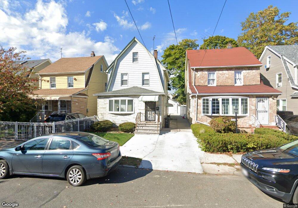
19433 113th Rd Saint Albans, NY 11412
Hollis NeighborhoodEstimated Value: $606,087 - $708,000
--
Bed
--
Bath
1,532
Sq Ft
$431/Sq Ft
Est. Value
About This Home
This home is located at 19433 113th Rd, Saint Albans, NY 11412 and is currently estimated at $660,522, approximately $431 per square foot. 19433 113th Rd is a home located in Queens County with nearby schools including P.S. 118 Lorraine Hansberry, I.S. 192 The Linden, and Riverton Street Charter School.
Ownership History
Date
Name
Owned For
Owner Type
Purchase Details
Closed on
Mar 28, 2005
Sold by
Hargrove Ruth
Bought by
Hargrove Dexter
Current Estimated Value
Purchase Details
Closed on
Apr 12, 2004
Sold by
Hargrove Artis and Hargrove Ruth
Bought by
Hargrove Ruth
Create a Home Valuation Report for This Property
The Home Valuation Report is an in-depth analysis detailing your home's value as well as a comparison with similar homes in the area
Home Values in the Area
Average Home Value in this Area
Purchase History
| Date | Buyer | Sale Price | Title Company |
|---|---|---|---|
| Hargrove Dexter | -- | -- | |
| Hargrove Dexter | -- | -- | |
| Hargrove Ruth | -- | -- | |
| Hargrove Ruth | -- | -- |
Source: Public Records
Mortgage History
| Date | Status | Borrower | Loan Amount |
|---|---|---|---|
| Closed | Hargrove Dexter | $0 |
Source: Public Records
Tax History Compared to Growth
Tax History
| Year | Tax Paid | Tax Assessment Tax Assessment Total Assessment is a certain percentage of the fair market value that is determined by local assessors to be the total taxable value of land and additions on the property. | Land | Improvement |
|---|---|---|---|---|
| 2025 | $5,198 | $27,946 | $7,973 | $19,973 |
| 2024 | $5,210 | $27,282 | $7,316 | $19,966 |
| 2023 | $4,889 | $25,740 | $6,826 | $18,914 |
| 2022 | $4,561 | $40,380 | $11,520 | $28,860 |
| 2021 | $4,605 | $35,700 | $11,520 | $24,180 |
| 2020 | $4,633 | $30,720 | $11,520 | $19,200 |
| 2019 | $4,463 | $30,240 | $11,520 | $18,720 |
| 2018 | $4,075 | $21,450 | $9,172 | $12,278 |
| 2017 | $3,825 | $20,236 | $9,937 | $10,299 |
| 2016 | $3,570 | $20,236 | $9,937 | $10,299 |
| 2015 | $2,083 | $19,407 | $11,325 | $8,082 |
| 2014 | $2,083 | $18,946 | $10,321 | $8,625 |
Source: Public Records
Map
Nearby Homes
- 19432 113th Rd
- 19445 Murdock Ave
- 19427 Murdock Ave
- 194-42 Murdock Ave
- 194-56 Murdock Ave
- 19431 114th Rd
- 194-16 112th Ave
- 191-40 112th Rd
- 114-22 197th St
- 113-40 198th St
- 194-29 112th Ave
- 191-34 114th Rd
- 191-47 114th Dr
- 194- 24 111th Rd
- 190-63 112th Ave
- 190-59 112th Ave
- 114-28 198th St
- 112-28 199th St
- 191-16 114th Rd
- 114-35 198th St
- 19435 113th Rd
- 19431 113th Rd
- 19435 113th Rd
- 194-39 113th Rd
- 194-39 113th Rd
- 194-39 113th Rd
- 19439 113th Rd
- 19429 113th Rd
- 194-29 113th Rd
- 19425 113th Rd
- 19434 113th Ave
- 19438 113th Ave
- 19432 113th Ave
- 194-32 113th Ave
- 19440 113th Ave
- 19434 113th Ave
- 19443 113th Rd
- 19428 113th Ave
- 19423 113th Rd
- 19432 113th Ave