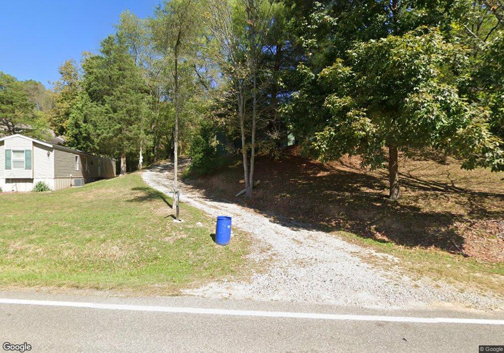
19435 State Route 550 Marietta, OH 45750
Estimated Value: $168,000 - $215,667
3
Beds
1
Bath
1,260
Sq Ft
$154/Sq Ft
Est. Value
About This Home
This home is located at 19435 State Route 550, Marietta, OH 45750 and is currently estimated at $194,417, approximately $154 per square foot. 19435 State Route 550 is a home located in Washington County with nearby schools including Warren High School, Veritas Classical Academy, and St. Mary Catholic School.
Ownership History
Date
Name
Owned For
Owner Type
Purchase Details
Closed on
Aug 29, 2023
Sold by
Porter Mickey L and Porter Melissa L
Bought by
Chidester Aaron L
Current Estimated Value
Purchase Details
Closed on
Oct 16, 2001
Bought by
Porter Olive Lif Est Et
Purchase Details
Closed on
Jun 22, 2001
Bought by
Porter Olive L
Purchase Details
Closed on
Dec 6, 1989
Bought by
Porter Ernest R and Porter Olive
Create a Home Valuation Report for This Property
The Home Valuation Report is an in-depth analysis detailing your home's value as well as a comparison with similar homes in the area
Home Values in the Area
Average Home Value in this Area
Purchase History
| Date | Buyer | Sale Price | Title Company |
|---|---|---|---|
| Chidester Aaron L | $600 | None Listed On Document | |
| Porter Olive Lif Est Et | $50,000 | -- | |
| Porter Olive L | -- | -- | |
| Porter Ernest R | -- | -- |
Source: Public Records
Tax History Compared to Growth
Tax History
| Year | Tax Paid | Tax Assessment Tax Assessment Total Assessment is a certain percentage of the fair market value that is determined by local assessors to be the total taxable value of land and additions on the property. | Land | Improvement |
|---|---|---|---|---|
| 2024 | $2,295 | $60,420 | $23,000 | $37,420 |
| 2023 | $2,295 | $60,420 | $23,000 | $37,420 |
| 2022 | $2,291 | $60,550 | $23,130 | $37,420 |
| 2021 | $1,610 | $40,560 | $16,010 | $24,550 |
| 2020 | $1,609 | $40,560 | $16,010 | $24,550 |
| 2019 | $1,586 | $40,560 | $16,010 | $24,550 |
| 2018 | $1,448 | $35,910 | $13,920 | $21,990 |
| 2017 | $1,440 | $35,910 | $13,920 | $21,990 |
| 2016 | $1,828 | $35,910 | $13,920 | $21,990 |
| 2015 | $1,255 | $34,780 | $13,350 | $21,430 |
| 2014 | $1,790 | $34,780 | $13,350 | $21,430 |
| 2013 | $630 | $34,780 | $13,350 | $21,430 |
Source: Public Records
Map
Nearby Homes
- 375 Belavista Dr
- 204 Coventry Rd
- 505 Harbor Point
- 146 Riverview Dr
- 20645 Ohio 676
- 101 Laramie Rd
- 305 Flintwood Dr
- 117 Clark St
- 211 Beaver St
- 645 Pearl Street Extension
- 101 High St
- 65 High Point Dr
- 977 Gilman Ave
- 417 Maple St
- 33 Silos
- 412 Lord St
- 0 River Rd Unit Lot WP001
- 400 Maple St
- 117 Franklin St
- 9 Henderson Ln
- 19495 State Route 550
- 19510 State Route 550
- 19421 State Route 550
- 19560 State Route 550
- 19570 State Route 550
- 19360 State Route 550
- 19580 State Route 550
- 19575 State Route 550
- 19540 State Route 550
- 19636 Ohio 550
- 19625 State Route 550
- 19640 State Route 550
- 19585 State Route 550
- 19690 Ohio 550
- 19690 State Route 550
- 19210 State Route 550
- 19765 State Route 550
- 19135 State Route 550
- 19795 State Route 550
- 19060 State Route 550
