19436 Highway W Clarksville, MO 63336
Estimated Value: $311,000 - $399,000
--
Bed
1
Bath
3,790
Sq Ft
$97/Sq Ft
Est. Value
About This Home
This home is located at 19436 Highway W, Clarksville, MO 63336 and is currently estimated at $367,615, approximately $96 per square foot. 19436 Highway W is a home with nearby schools including Clopton Elementary School, Clopton High School, and Pike/Lincoln Technical Center.
Ownership History
Date
Name
Owned For
Owner Type
Purchase Details
Closed on
Jul 9, 2025
Sold by
Gray Michael T and Gray Sandra
Bought by
Monterubio John R and Monterubio Mary Deborah
Current Estimated Value
Purchase Details
Closed on
May 9, 2025
Sold by
Margaret M Gray Revocable Trust and Gray Joseph E
Bought by
Gray Joseph E
Purchase Details
Closed on
Jul 11, 2023
Sold by
John V Gray Revocable Trust
Bought by
Margaret M Gray Revocable Trust and Gray
Create a Home Valuation Report for This Property
The Home Valuation Report is an in-depth analysis detailing your home's value as well as a comparison with similar homes in the area
Home Values in the Area
Average Home Value in this Area
Purchase History
| Date | Buyer | Sale Price | Title Company |
|---|---|---|---|
| Monterubio John R | -- | None Listed On Document | |
| Monterubio John R | -- | None Listed On Document | |
| Gray Joseph E | -- | None Listed On Document | |
| Margaret M Gray Contingent Trust | -- | None Listed On Document | |
| Margaret M Gray Contingent Trust | -- | None Listed On Document | |
| Margaret M Gray Revocable Trust | -- | None Listed On Document |
Source: Public Records
Tax History Compared to Growth
Tax History
| Year | Tax Paid | Tax Assessment Tax Assessment Total Assessment is a certain percentage of the fair market value that is determined by local assessors to be the total taxable value of land and additions on the property. | Land | Improvement |
|---|---|---|---|---|
| 2024 | $1,323 | $20,950 | $8,640 | $12,310 |
| 2023 | $1,323 | $20,950 | $8,640 | $12,310 |
| 2022 | $1,286 | $20,380 | $8,070 | $12,310 |
| 2021 | $1,285 | $20,380 | $8,070 | $12,310 |
| 2020 | $1,288 | $20,380 | $8,070 | $12,310 |
| 2019 | $1,289 | $20,380 | $8,070 | $12,310 |
| 2018 | $1,296 | $20,490 | $8,180 | $12,310 |
| 2017 | $1,291 | $20,490 | $8,180 | $12,310 |
| 2016 | $1,284 | $20,490 | $8,180 | $12,310 |
| 2015 | -- | $20,490 | $8,180 | $12,310 |
| 2011 | -- | $19,870 | $7,850 | $12,020 |
Source: Public Records
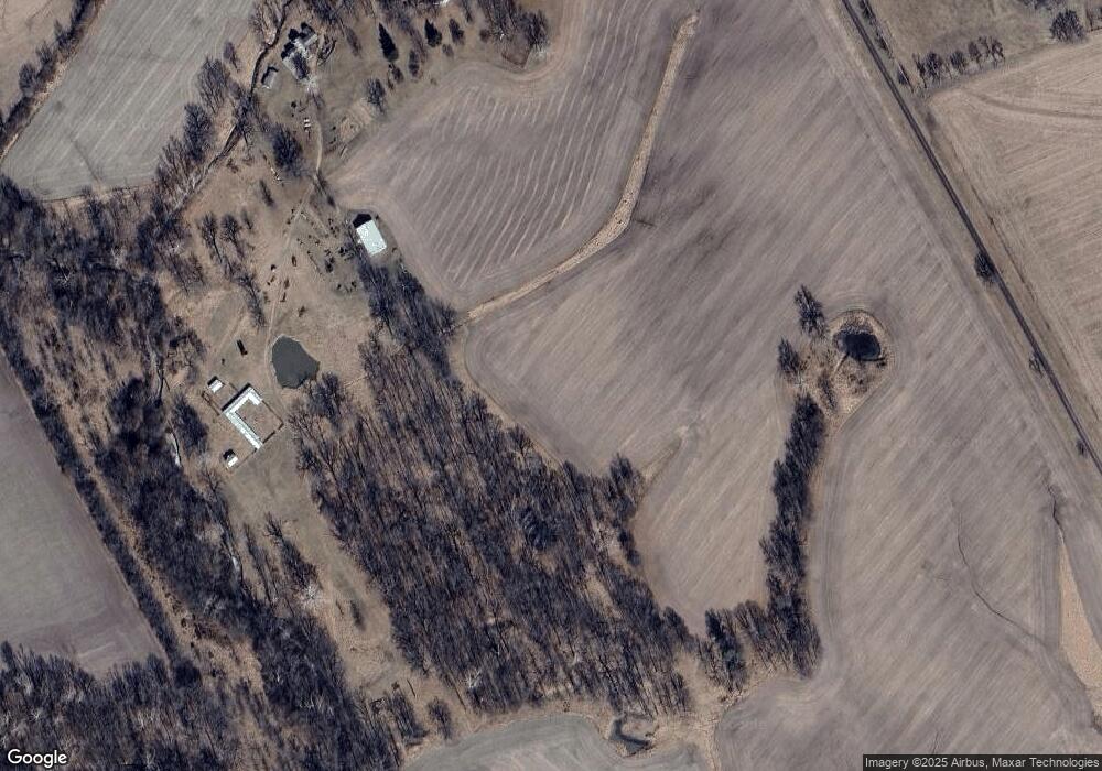
Map
Nearby Homes
- 18863 Pike 220
- 209 Pike 209
- 0 Hwy D Unit MIS25069947
- 0 Pike 209 Unit 11577749
- 21772 Highway D
- 102 Carroll Dr
- 0 N 5th St Unit MAR24066104
- 21772 State Hwy D
- 101 N 1st St
- Lot 35 Pike 9266
- 0 Pike 224 Unit 23137162
- 0 Pike 224 Unit MAR25021843
- 0 Pike 268
- 23920 Pike 268
- 121 W Outer Rd
- 255 Gnade Rd
- 2 Whitetail Ridge Rd
- 14912 Illinois 96
- 1735 Tickridge Rd
- 310 Morgan Meadows Ln
- 19499 Highway W
- 19499 Highway W
- 29938 Pike 9216
- 1LOT 2 Highway W
- 1LOT 3 Highway W
- 1LOT 4 Highway W
- 19877 Highway W
- 19817 Highway W
- 19817 Highway W
- 29387 Highway Ww
- 20057 Highway W
- 20812 Highway W
- 20812 Highway W
- 18708 Highway W
- 29880 Pike 216
- 19949 Pike 228
- 0 22 89 Acres Hwy W Unit 18082944
- 28845 Highway Ww