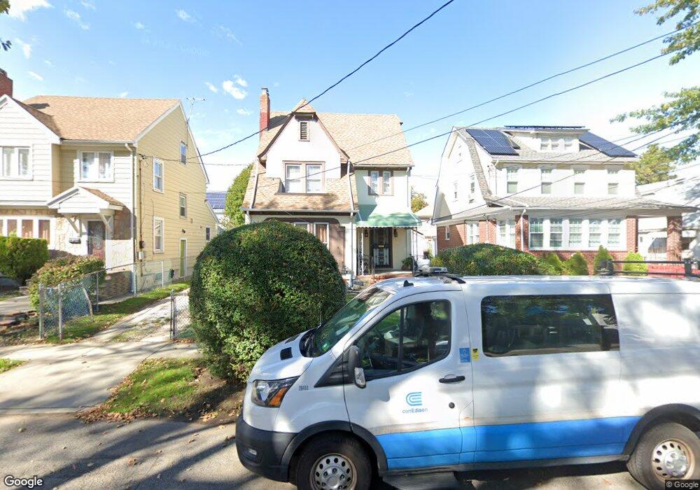
19437 111th Rd Saint Albans, NY 11412
Hollis NeighborhoodEstimated Value: $708,000 - $746,582
--
Bed
--
Bath
1,720
Sq Ft
$426/Sq Ft
Est. Value
About This Home
This home is located at 19437 111th Rd, Saint Albans, NY 11412 and is currently estimated at $731,896, approximately $425 per square foot. 19437 111th Rd is a home located in Queens County with nearby schools including P.S. 118 Lorraine Hansberry, I.S. 192 The Linden, and True Deliverance Christian School.
Ownership History
Date
Name
Owned For
Owner Type
Purchase Details
Closed on
Nov 12, 2010
Sold by
148 Avenue Development Llc
Bought by
Payne Kenneth J
Current Estimated Value
Home Financials for this Owner
Home Financials are based on the most recent Mortgage that was taken out on this home.
Original Mortgage
$413,251
Outstanding Balance
$272,379
Interest Rate
4.25%
Mortgage Type
Purchase Money Mortgage
Estimated Equity
$459,517
Purchase Details
Closed on
Feb 26, 2010
Sold by
Bank Of America N A As Successor By Me
Bought by
148 Avenue Development Llc
Home Financials for this Owner
Home Financials are based on the most recent Mortgage that was taken out on this home.
Original Mortgage
$200,000
Interest Rate
5.02%
Mortgage Type
Purchase Money Mortgage
Purchase Details
Closed on
Oct 9, 2009
Sold by
Herman Esq As Referee Manuel
Bought by
La Salle Bank National Association As Tr
Purchase Details
Closed on
Apr 28, 2006
Sold by
Hearn Marie R
Bought by
Smallhorne Martin
Home Financials for this Owner
Home Financials are based on the most recent Mortgage that was taken out on this home.
Original Mortgage
$285,600
Interest Rate
6.42%
Mortgage Type
Purchase Money Mortgage
Purchase Details
Closed on
Jul 20, 2001
Sold by
Monroe Geraldine
Bought by
Hearn Marie R
Purchase Details
Closed on
Sep 9, 1996
Sold by
Hern Marie R and Monroe Geraldine
Bought by
Hern Marie R and Monroe Geraldine
Create a Home Valuation Report for This Property
The Home Valuation Report is an in-depth analysis detailing your home's value as well as a comparison with similar homes in the area
Home Values in the Area
Average Home Value in this Area
Purchase History
| Date | Buyer | Sale Price | Title Company |
|---|---|---|---|
| Payne Kenneth J | $424,000 | -- | |
| Payne Kenneth J | $424,000 | -- | |
| 148 Avenue Development Llc | $244,000 | -- | |
| 148 Avenue Development Llc | $244,000 | -- | |
| La Salle Bank National Association As Tr | $332,919 | -- | |
| La Salle Bank National Association As Tr | $332,919 | -- | |
| Smallhorne Martin | $357,000 | -- | |
| Smallhorne Martin | $357,000 | -- | |
| Hearn Marie R | -- | -- | |
| Hearn Marie R | -- | -- | |
| Hern Marie R | -- | Commonwealth Land Title Ins | |
| Hern Marie R | -- | Commonwealth Land Title Ins |
Source: Public Records
Mortgage History
| Date | Status | Borrower | Loan Amount |
|---|---|---|---|
| Open | Payne Kenneth J | $413,251 | |
| Closed | Payne Kenneth J | $413,251 | |
| Previous Owner | 148 Avenue Development Llc | $200,000 | |
| Previous Owner | Smallhorne Martin | $285,600 | |
| Closed | Smallhorne Martin | $71,400 |
Source: Public Records
Tax History Compared to Growth
Tax History
| Year | Tax Paid | Tax Assessment Tax Assessment Total Assessment is a certain percentage of the fair market value that is determined by local assessors to be the total taxable value of land and additions on the property. | Land | Improvement |
|---|---|---|---|---|
| 2025 | $5,408 | $28,539 | $8,466 | $20,073 |
| 2024 | $5,408 | $26,924 | $8,716 | $18,208 |
| 2023 | $5,102 | $25,402 | $6,990 | $18,412 |
| 2022 | $4,829 | $39,720 | $12,780 | $26,940 |
| 2021 | $5,091 | $33,660 | $12,780 | $20,880 |
| 2020 | $5,034 | $32,760 | $12,780 | $19,980 |
| 2019 | $4,694 | $32,700 | $12,780 | $19,920 |
| 2018 | $4,315 | $21,168 | $8,507 | $12,661 |
| 2017 | $4,110 | $20,160 | $9,737 | $10,423 |
| 2016 | $4,030 | $20,160 | $9,737 | $10,423 |
| 2015 | $2,294 | $19,819 | $11,456 | $8,363 |
| 2014 | $2,294 | $18,698 | $12,957 | $5,741 |
Source: Public Records
Map
Nearby Homes
- 194- 24 111th Rd
- 194-29 112th Ave
- 194-16 112th Ave
- 19404 110th Rd
- 190-63 112th Ave
- 190-59 112th Ave
- 191-40 112th Rd
- 11132 199th St
- 19022 111th Rd
- 112-28 199th St
- 193-21 109th Rd
- 19432 113th Rd
- 19319 109th Rd
- 19445 Murdock Ave
- 19427 Murdock Ave
- 111-06 Farmers Blvd
- 194-42 Murdock Ave
- 194-56 Murdock Ave
- 113-40 198th St
- 19920 Hollis Ave
- 19433 111th Rd
- 19441 111th Rd
- 194-29 111th Rd
- 19429 111th Rd
- 19447 111th Rd
- 19447 111th Rd
- 19502 111th Ave
- 19436 111th Ave
- 19506 111th Ave
- 19432 111th Ave
- 19425 111th Rd
- 195-06 111th Ave
- 19512 111th Ave
- 19428 111th Ave
- 19440 111th Rd
- 195-12 111th Ave
- 19421 111th Rd
- 19436 111th Rd
- 194-36 111th Rd
- 19434 111th Rd