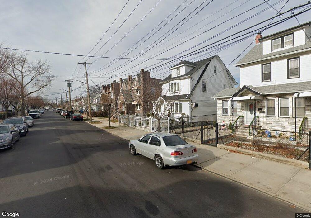
19439 112th Rd Saint Albans, NY 11412
Hollis NeighborhoodEstimated Value: $698,254 - $780,000
--
Bed
--
Bath
1,440
Sq Ft
$513/Sq Ft
Est. Value
About This Home
This home is located at 19439 112th Rd, Saint Albans, NY 11412 and is currently estimated at $738,314, approximately $512 per square foot. 19439 112th Rd is a home located in Queens County with nearby schools including P.S. 118 Lorraine Hansberry, I.S. 192 The Linden, and True Deliverance Christian School.
Ownership History
Date
Name
Owned For
Owner Type
Purchase Details
Closed on
Nov 3, 2005
Sold by
Patrice Allison and Patrice Randolph
Bought by
Felician Cuthbert R and Pollydore Flora
Current Estimated Value
Home Financials for this Owner
Home Financials are based on the most recent Mortgage that was taken out on this home.
Original Mortgage
$355,550
Interest Rate
6.07%
Mortgage Type
Purchase Money Mortgage
Purchase Details
Closed on
Jan 29, 1997
Sold by
Miller Marian
Bought by
Patrice Randolph and Patrice Allison
Home Financials for this Owner
Home Financials are based on the most recent Mortgage that was taken out on this home.
Original Mortgage
$120,600
Interest Rate
7.5%
Create a Home Valuation Report for This Property
The Home Valuation Report is an in-depth analysis detailing your home's value as well as a comparison with similar homes in the area
Home Values in the Area
Average Home Value in this Area
Purchase History
| Date | Buyer | Sale Price | Title Company |
|---|---|---|---|
| Felician Cuthbert R | $444,960 | -- | |
| Felician Cuthbert R | $444,960 | -- | |
| Patrice Randolph | $134,000 | Commonwealth Land Title Ins | |
| Patrice Randolph | $134,000 | Commonwealth Land Title Ins |
Source: Public Records
Mortgage History
| Date | Status | Borrower | Loan Amount |
|---|---|---|---|
| Open | Felician Cuthbert R | $88,850 | |
| Closed | Felician Cuthbert R | $88,850 | |
| Previous Owner | Felician Cuthbert R | $355,550 | |
| Previous Owner | Patrice Randolph | $120,600 |
Source: Public Records
Tax History Compared to Growth
Tax History
| Year | Tax Paid | Tax Assessment Tax Assessment Total Assessment is a certain percentage of the fair market value that is determined by local assessors to be the total taxable value of land and additions on the property. | Land | Improvement |
|---|---|---|---|---|
| 2025 | $6,117 | $30,743 | $9,670 | $21,073 |
| 2024 | $6,117 | $30,455 | $9,384 | $21,071 |
| 2023 | $5,771 | $28,732 | $8,299 | $20,433 |
| 2022 | $5,414 | $38,820 | $12,720 | $26,100 |
| 2021 | $5,392 | $34,500 | $12,720 | $21,780 |
| 2020 | $5,423 | $31,200 | $12,720 | $18,480 |
| 2019 | $5,309 | $34,380 | $12,720 | $21,660 |
| 2018 | $4,881 | $23,943 | $8,797 | $15,146 |
| 2017 | $4,607 | $22,602 | $10,109 | $12,493 |
| 2016 | $4,268 | $22,602 | $10,109 | $12,493 |
| 2015 | $2,572 | $21,349 | $11,832 | $9,517 |
| 2014 | $2,572 | $21,150 | $13,692 | $7,458 |
Source: Public Records
Map
Nearby Homes
- 194-16 112th Ave
- 194-29 112th Ave
- 19432 113th Rd
- 194- 24 111th Rd
- 19445 Murdock Ave
- 19427 Murdock Ave
- 190-63 112th Ave
- 191-40 112th Rd
- 190-59 112th Ave
- 194-42 Murdock Ave
- 194-56 Murdock Ave
- 19431 114th Rd
- 113-40 198th St
- 112-28 199th St
- 11132 199th St
- 114-22 197th St
- 19404 110th Rd
- 19022 111th Rd
- 191-34 114th Rd
- 114-28 198th St
- 194-41 112th Rd
- 19435 112th Rd
- 19441 112th Rd
- 194-35 112th Rd
- 19433 112th Rd
- 19443 112th Rd
- 19431 112th Rd
- 19447 112th Rd Unit 2
- 19447 112th Rd
- 194-38 112th Ave
- 19447 112th Rd
- 194-44 112 Ave
- 19438 112th Ave
- 19440 112th Ave
- 19427 112th Rd
- 19436 112th Ave
- 194-27 112th Rd
- 19444 112th Ave
- 19432 112th Ave
- 194-44 112th Ave