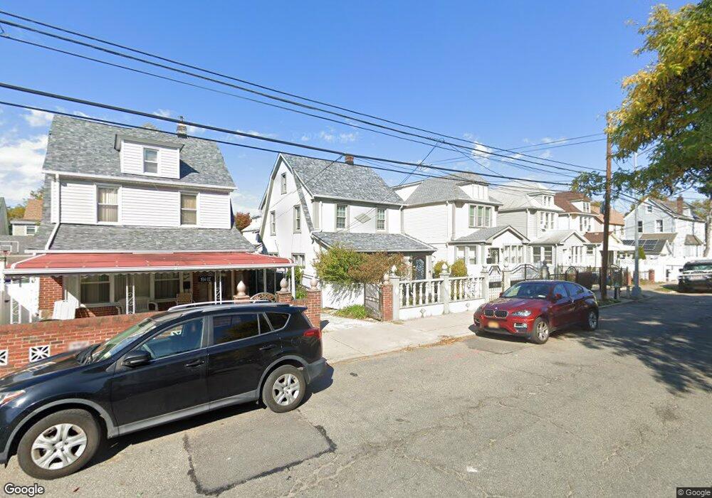
19439 113th Ave Saint Albans, NY 11412
Hollis NeighborhoodEstimated Value: $593,505 - $823,000
--
Bed
--
Bath
1,492
Sq Ft
$464/Sq Ft
Est. Value
About This Home
This home is located at 19439 113th Ave, Saint Albans, NY 11412 and is currently estimated at $691,876, approximately $463 per square foot. 19439 113th Ave is a home located in Queens County with nearby schools including P.S. 118 Lorraine Hansberry, I.S. 192 The Linden, and True Deliverance Christian School.
Ownership History
Date
Name
Owned For
Owner Type
Purchase Details
Closed on
May 18, 2023
Sold by
Washington Donette and Washington Troy
Bought by
Washington Trust Dated May 18 2023 and Washington Trustee Donette
Current Estimated Value
Purchase Details
Closed on
Jul 28, 1995
Sold by
Jones Joseph L and Jones Rubye
Bought by
Washington Troy and Washington Donette
Home Financials for this Owner
Home Financials are based on the most recent Mortgage that was taken out on this home.
Original Mortgage
$108,640
Interest Rate
7.56%
Mortgage Type
Purchase Money Mortgage
Create a Home Valuation Report for This Property
The Home Valuation Report is an in-depth analysis detailing your home's value as well as a comparison with similar homes in the area
Home Values in the Area
Average Home Value in this Area
Purchase History
| Date | Buyer | Sale Price | Title Company |
|---|---|---|---|
| Washington Trust Dated May 18 2023 | -- | -- | |
| Washington Troy | $112,000 | -- |
Source: Public Records
Mortgage History
| Date | Status | Borrower | Loan Amount |
|---|---|---|---|
| Previous Owner | Washington Troy | $108,640 |
Source: Public Records
Tax History Compared to Growth
Tax History
| Year | Tax Paid | Tax Assessment Tax Assessment Total Assessment is a certain percentage of the fair market value that is determined by local assessors to be the total taxable value of land and additions on the property. | Land | Improvement |
|---|---|---|---|---|
| 2025 | $4,837 | $25,529 | $6,637 | $18,892 |
| 2024 | $4,837 | $24,085 | $7,503 | $16,582 |
| 2023 | $4,837 | $24,085 | $6,452 | $17,633 |
| 2022 | $4,484 | $38,880 | $10,560 | $28,320 |
| 2021 | $4,449 | $36,960 | $10,560 | $26,400 |
| 2020 | $4,207 | $32,040 | $10,560 | $21,480 |
| 2019 | $3,906 | $31,080 | $10,560 | $20,520 |
| 2018 | $3,794 | $20,071 | $7,850 | $12,221 |
| 2017 | $3,760 | $19,917 | $8,592 | $11,325 |
| 2016 | $3,447 | $19,917 | $8,592 | $11,325 |
| 2015 | $2,046 | $17,728 | $8,253 | $9,475 |
| 2014 | $2,046 | $16,726 | $9,081 | $7,645 |
Source: Public Records
Map
Nearby Homes
- 19432 113th Rd
- 19427 Murdock Ave
- 19445 Murdock Ave
- 194-42 Murdock Ave
- 194-16 112th Ave
- 194-56 Murdock Ave
- 19431 114th Rd
- 191-40 112th Rd
- 194-29 112th Ave
- 194- 24 111th Rd
- 190-63 112th Ave
- 190-59 112th Ave
- 113-40 198th St
- 114-22 197th St
- 191-34 114th Rd
- 191-47 114th Dr
- 112-28 199th St
- 114-28 198th St
- 191-16 114th Rd
- 114-35 198th St
- 19437 113th Ave
- 19443 113th Ave
- 194-43 113th Ave
- 19447 113th Ave
- 19447 113th Ave
- 19433 113th Ave
- 19449 113th Ave
- 19442 112th Rd
- 19431 113th Ave
- 19438 112th Rd
- 19444 112th Rd
- 19436 112th Rd
- 19446 112th Rd
- 19436 112th Rd
- 19454 112th Rd
- 19432 112th Rd
- 19427 113th Ave
- 19440 113th Ave
- 11244 196th St
- 11240 196th St