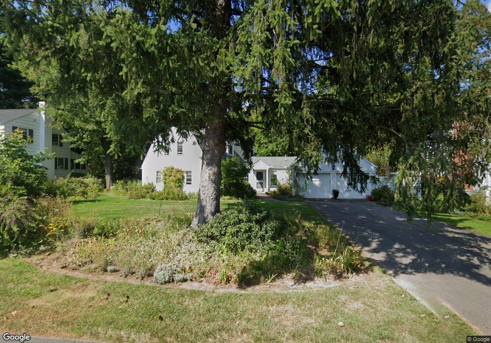
1944 Asylum Ave West Hartford, CT 06117
Estimated Value: $784,000 - $1,001,000
4
Beds
3
Baths
3,190
Sq Ft
$275/Sq Ft
Est. Value
About This Home
This home is located at 1944 Asylum Ave, West Hartford, CT 06117 and is currently estimated at $878,053, approximately $275 per square foot. 1944 Asylum Ave is a home located in Hartford County with nearby schools including Bugbee School, King Philip Middle School, and Hall High School.
Create a Home Valuation Report for This Property
The Home Valuation Report is an in-depth analysis detailing your home's value as well as a comparison with similar homes in the area
Home Values in the Area
Average Home Value in this Area
Tax History Compared to Growth
Tax History
| Year | Tax Paid | Tax Assessment Tax Assessment Total Assessment is a certain percentage of the fair market value that is determined by local assessors to be the total taxable value of land and additions on the property. | Land | Improvement |
|---|---|---|---|---|
| 2025 | $15,341 | $342,580 | $119,700 | $222,880 |
| 2024 | $14,508 | $342,580 | $119,700 | $222,880 |
| 2023 | $14,018 | $342,580 | $119,700 | $222,880 |
| 2022 | $13,936 | $342,580 | $119,700 | $222,880 |
| 2021 | $14,022 | $330,540 | $126,000 | $204,540 |
| 2020 | $13,609 | $325,570 | $117,530 | $208,040 |
| 2019 | $13,609 | $325,570 | $117,530 | $208,040 |
| 2018 | $12,863 | $313,740 | $117,530 | $196,210 |
| 2017 | $12,876 | $313,740 | $117,530 | $196,210 |
| 2016 | $13,331 | $337,400 | $122,570 | $214,830 |
| 2015 | $12,926 | $337,400 | $122,570 | $214,830 |
| 2014 | $12,609 | $337,400 | $122,570 | $214,830 |
Source: Public Records
Map
Nearby Homes
- 62 Blue Ridge Ln
- 47 Flagg Rd
- 56 Fox Chase Ln
- 2581 Albany Ave
- 30 Farmstead Ln
- 26 Berwyn Rd
- 592 Mountain Rd Unit A
- 50 Magnolia Hill
- 11 Rye Ridge Pkwy
- 132 N Main St
- 37 W Normandy Dr
- 1272 Trout Brook Dr
- 21 Barksdale Rd
- 124 High Ridge Rd
- 1196 Trout Brook Dr
- 183 Loomis Dr Unit 109
- 11 Lawler Rd
- 10 Hosmer Dr
- 16 Morningcrest Dr
- 139 Mohawk Dr