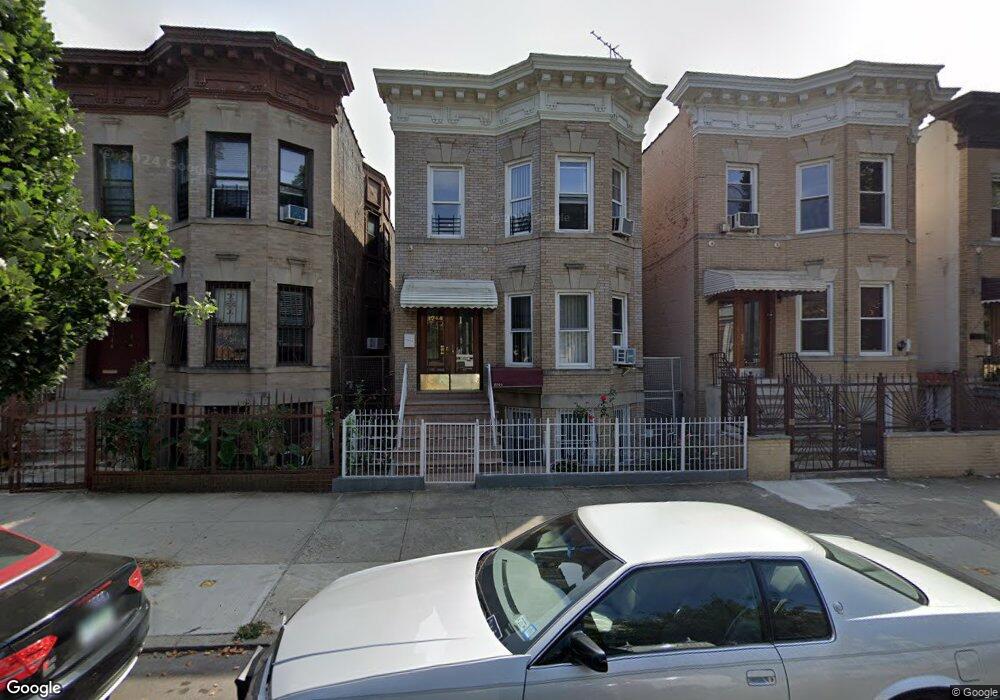
1944 Benedict Ave Bronx, NY 10462
Parkchester NeighborhoodEstimated Value: $1,125,000 - $1,165,174
--
Bed
--
Bath
3,704
Sq Ft
$308/Sq Ft
Est. Value
About This Home
This home is located at 1944 Benedict Ave, Bronx, NY 10462 and is currently estimated at $1,140,544, approximately $307 per square foot. 1944 Benedict Ave is a home located in Bronx County with nearby schools including P.S. 106 - Parkchester, M.S. 127 - The Castle Hill Middle School, and St Helena School.
Ownership History
Date
Name
Owned For
Owner Type
Purchase Details
Closed on
Feb 2, 2007
Sold by
Valdez Edwin J
Bought by
Sulaiman Mohammed
Current Estimated Value
Home Financials for this Owner
Home Financials are based on the most recent Mortgage that was taken out on this home.
Original Mortgage
$585,000
Outstanding Balance
$352,527
Interest Rate
6.27%
Mortgage Type
Purchase Money Mortgage
Estimated Equity
$788,017
Purchase Details
Closed on
Jan 9, 2004
Sold by
Gordils Margarita and Gordils Petra
Bought by
Valdez Edwin J
Home Financials for this Owner
Home Financials are based on the most recent Mortgage that was taken out on this home.
Original Mortgage
$204,000
Interest Rate
5.94%
Mortgage Type
Purchase Money Mortgage
Create a Home Valuation Report for This Property
The Home Valuation Report is an in-depth analysis detailing your home's value as well as a comparison with similar homes in the area
Home Values in the Area
Average Home Value in this Area
Purchase History
| Date | Buyer | Sale Price | Title Company |
|---|---|---|---|
| Sulaiman Mohammed | $650,000 | -- | |
| Valdez Edwin J | $255,000 | -- |
Source: Public Records
Mortgage History
| Date | Status | Borrower | Loan Amount |
|---|---|---|---|
| Open | Sulaiman Mohammed | $585,000 | |
| Previous Owner | Valdez Edwin J | $204,000 |
Source: Public Records
Tax History Compared to Growth
Tax History
| Year | Tax Paid | Tax Assessment Tax Assessment Total Assessment is a certain percentage of the fair market value that is determined by local assessors to be the total taxable value of land and additions on the property. | Land | Improvement |
|---|---|---|---|---|
| 2025 | $7,250 | $39,746 | $6,222 | $33,524 |
| 2024 | $7,250 | $37,498 | $6,385 | $31,113 |
| 2023 | $7,331 | $37,498 | $6,660 | $30,838 |
| 2022 | $7,142 | $49,320 | $9,900 | $39,420 |
| 2021 | $7,086 | $46,740 | $9,900 | $36,840 |
| 2020 | $6,715 | $50,520 | $9,900 | $40,620 |
| 2019 | $6,244 | $40,740 | $9,900 | $30,840 |
| 2018 | $6,072 | $31,248 | $6,939 | $24,309 |
| 2017 | $6,022 | $31,013 | $9,187 | $21,826 |
| 2016 | $5,539 | $29,258 | $8,266 | $20,992 |
| 2015 | $3,461 | $27,602 | $8,000 | $19,602 |
| 2014 | $3,461 | $26,040 | $9,060 | $16,980 |
Source: Public Records
Map
Nearby Homes
- 1949 Mcgraw Ave Unit 7F
- 1926 Mcgraw Ave
- 1935 Mcgraw Ave Unit 7C
- 1332 Metropolitan Ave Unit 6A
- 1332 Metropolitan Ave Unit 2A
- 1332 Metropolitan Ave Unit 2H
- 1332 Metropolitan Ave Unit 3H
- 1922 Mcgraw Ave Unit 6I
- 1922 Mcgraw Ave Unit 1H
- 2049 Mcgraw Ave Unit 6H
- 1521 Unionport Rd Unit 11G
- 2055 Mcgraw Ave Unit 4G
- 1314 Virginia Ave Unit 6F
- 1314 Virginia Ave Unit 6G
- 1314 Virginia Ave Unit 5A
- 2059 Mcgraw Ave Unit 6A
- 1470 East Ave Unit 5G
- 1966 Newbold Ave Unit 104
- 1966 Newbold Ave Unit 108
- 1966 Newbold Ave Unit 1510
- 1946 Benedict Ave
- 1948 Benedict Ave
- 1938 Benedict Ave
- 1952 Benedict Ave
- 1936 Benedict Ave
- 1957 Westchester Ave
- 1945-1955 Westchester Ave
- 1959 Westchester Ave
- 1934 Benedict Ave
- 1967 Westchester Ave
- 1967-1973 Westchester Ave
- 1930 Benedict Ave
- 1943 Benedict Ave
- 1935-1941 Westchester Ave
- 1941 Benedict Ave
- 1945 Benedict Ave
- 1949 Benedict Ave
- 1939 Benedict Ave
- 1960 Benedict Ave
- 1928 Benedict Ave