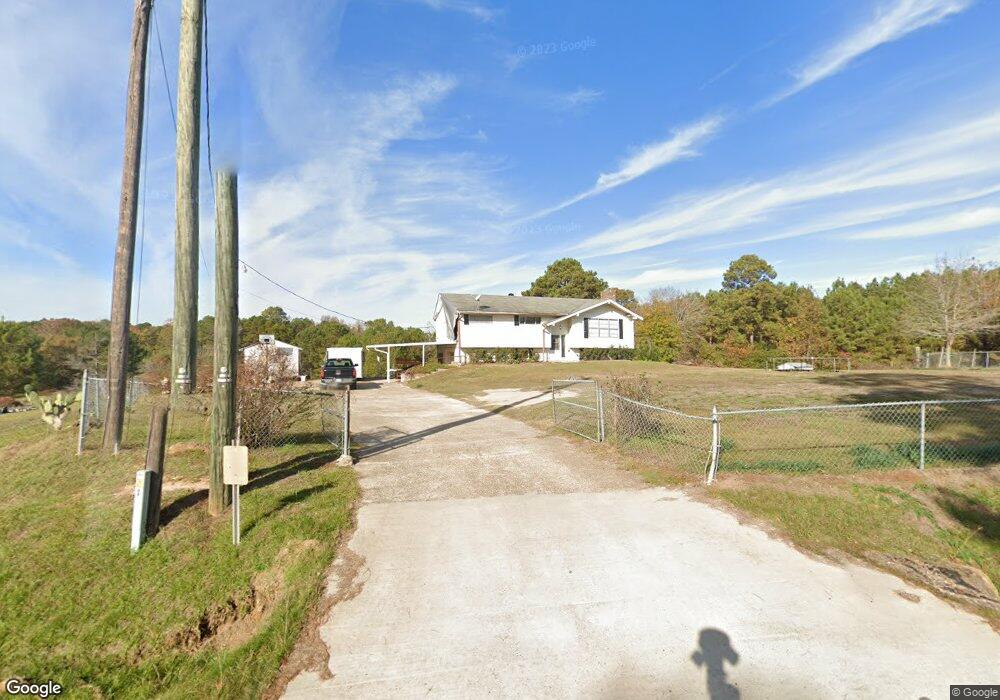
1944 Golson Rd Calhoun, LA 71225
Estimated Value: $64,000 - $240,729
3
Beds
3
Baths
2,432
Sq Ft
$73/Sq Ft
Est. Value
About This Home
This home is located at 1944 Golson Rd, Calhoun, LA 71225 and is currently estimated at $178,182, approximately $73 per square foot. 1944 Golson Rd is a home located in Ouachita Parish with nearby schools including Calhoun Elementary School, Central Elementary School, and Calhoun Middle School.
Ownership History
Date
Name
Owned For
Owner Type
Purchase Details
Closed on
Dec 30, 2021
Sold by
Britton Jackson Wanda
Bought by
Boyd Doyle W
Current Estimated Value
Purchase Details
Closed on
Jul 22, 2011
Sold by
Fannie Mae
Bought by
Osbon Amber Hattaway and Osbon Bradley Scott
Home Financials for this Owner
Home Financials are based on the most recent Mortgage that was taken out on this home.
Original Mortgage
$78,756
Interest Rate
4.52%
Mortgage Type
Future Advance Clause Open End Mortgage
Create a Home Valuation Report for This Property
The Home Valuation Report is an in-depth analysis detailing your home's value as well as a comparison with similar homes in the area
Purchase History
| Date | Buyer | Sale Price | Title Company |
|---|---|---|---|
| Boyd Doyle W | $55,000 | North Delta Title | |
| Osbon Amber Hattaway | $75,500 | None Available |
Source: Public Records
Mortgage History
| Date | Status | Borrower | Loan Amount |
|---|---|---|---|
| Previous Owner | Osbon Amber Hattaway | $78,756 |
Source: Public Records
Tax History
| Year | Tax Paid | Tax Assessment Tax Assessment Total Assessment is a certain percentage of the fair market value that is determined by local assessors to be the total taxable value of land and additions on the property. | Land | Improvement |
|---|---|---|---|---|
| 2025 | $14 | $7,541 | $1,199 | $6,342 |
| 2024 | $14 | $7,541 | $1,199 | $6,342 |
| 2023 | $14 | $7,541 | $1,199 | $6,342 |
| 2022 | $669 | $7,541 | $1,199 | $6,342 |
| 2021 | $677 | $7,541 | $1,199 | $6,342 |
| 2020 | $677 | $7,541 | $1,199 | $6,342 |
| 2019 | $675 | $7,541 | $1,199 | $6,342 |
| 2018 | $4 | $7,541 | $1,199 | $6,342 |
| 2017 | $675 | $7,541 | $1,199 | $6,342 |
| 2016 | $675 | $7,541 | $1,199 | $6,342 |
| 2015 | $4 | $7,541 | $1,199 | $6,342 |
| 2014 | $4 | $7,541 | $1,199 | $6,342 |
| 2013 | $4 | $7,541 | $1,199 | $6,342 |
Source: Public Records
Map
Nearby Homes
- 176 Lubenia Rd
- 419 Leckie Rd
- 385 Chief Ln
- 383 Chief Ln
- 364 Chief Ln
- 191 Simba Ln
- 338 Chief Ln
- 122 Simba Ln
- 316 Chief Ln
- 0 Leckie Rd Unit Lot B 11551630
- 0 Leckie Rd Unit 11347493
- 0 Luebenia Rd Unit 205254
- 0 Scarlett Way
- 283 New Mineral Springs Rd
- Lot 14 Hartland Loop
- Lot 28 Hartland Loop
- LOT 8 Hartland Loop
- Lot 13 Hartland Loop
- Lot 23 Hartland Loop
- Lot 27 Hartland Loop
- 1975 Golson Rd
- 1949 Golson Rd
- 1965 Golson Rd
- 00 Luebenia Rd
- 00 Luebenia Rd Unit 40.38 acres
- 1957 Golson Rd
- 1896 Golson Rd
- 2015 Golson Rd
- 1877 Golson Rd
- 2017 Golson Rd
- 155 Leckie Rd
- 1298 Carey Nelson Rd
- 1494 Highway 151 S
- 1267 Carey Nelson Rd
- 1514 Highway 151 S
- 1840 Golson Rd
- 2 Luebenia Rd
- 157 Leckie Rd
- 142 Luebenia Rd
- 142 Luebenia Rd Unit 40.38 acres
Your Personal Tour Guide
Ask me questions while you tour the home.