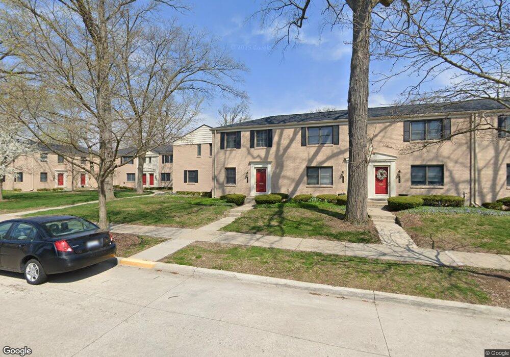
1944 Graefield Rd Unit D59 Birmingham, MI 48009
Estimated Value: $230,000 - $332,000
2
Beds
1
Bath
908
Sq Ft
$288/Sq Ft
Est. Value
About This Home
This home is located at 1944 Graefield Rd Unit D59, Birmingham, MI 48009 and is currently estimated at $261,067, approximately $287 per square foot. 1944 Graefield Rd Unit D59 is a home located in Oakland County with nearby schools including Pembroke Elementary School, Derby Middle School, and Ernest W. Seaholm High School.
Ownership History
Date
Name
Owned For
Owner Type
Purchase Details
Closed on
Apr 4, 2005
Sold by
Mcfarren Amy Ruth A
Bought by
Leaman Bruce
Current Estimated Value
Purchase Details
Closed on
Mar 30, 2001
Sold by
Gizzarelli Eugene
Bought by
Mcfarren Amy-Ruth A
Create a Home Valuation Report for This Property
The Home Valuation Report is an in-depth analysis detailing your home's value as well as a comparison with similar homes in the area
Home Values in the Area
Average Home Value in this Area
Purchase History
| Date | Buyer | Sale Price | Title Company |
|---|---|---|---|
| Leaman Bruce | $163,900 | Metropolitan Title Company | |
| Mcfarren Amy-Ruth A | $164,500 | -- |
Source: Public Records
Mortgage History
| Date | Status | Borrower | Loan Amount |
|---|---|---|---|
| Closed | Mcfarren Amy-Ruth A | -- |
Source: Public Records
Tax History
| Year | Tax Paid | Tax Assessment Tax Assessment Total Assessment is a certain percentage of the fair market value that is determined by local assessors to be the total taxable value of land and additions on the property. | Land | Improvement |
|---|---|---|---|---|
| 2025 | $1,493 | $110,620 | $0 | $0 |
| 2024 | $1,318 | $101,510 | $0 | $0 |
| 2023 | $1,263 | $96,050 | $0 | $0 |
| 2022 | $1,354 | $86,920 | $0 | $0 |
| 2021 | $1,366 | $85,210 | $0 | $0 |
| 2020 | $1,218 | $83,870 | $0 | $0 |
| 2019 | $1,378 | $77,070 | $0 | $0 |
| 2018 | $1,367 | $67,220 | $0 | $0 |
| 2017 | $1,365 | $61,150 | $0 | $0 |
| 2016 | $1,368 | $55,560 | $0 | $0 |
| 2015 | -- | $47,880 | $0 | $0 |
| 2014 | -- | $39,670 | $0 | $0 |
| 2011 | -- | $28,670 | $0 | $0 |
Source: Public Records
Map
Nearby Homes
- 1974 Graefield Rd
- 729 N Eton St
- 1985 Graefield Rd Unit 28
- 1675 Graefield Rd
- 683 Graefield Ct
- 716 Graefield Ct Unit 158
- 1724 Graefield Rd
- 1850 Dorchester Rd
- 2075 Derby Rd
- 1180 Manchester Rd
- 2051 Villa Rd Unit 304
- 2051 Villa Rd Unit 302
- 2051 Villa Rd Unit 401
- 2694 Dorchester Rd
- 1155 Derby Rd Unit 8
- 1881 Hazel St
- 1777 Hazel St
- 2873 Summers Place
- 3237 Newbury Place
- 3178 Camden Dr Unit 83
- 1943 Graefield Rd Unit 37
- 655 N Eton St Unit 655-BldgA
- 1943 Graefield Rd Unit Bldg-Unit37
- 671 N Eton St Unit Bldg-Unit
- 1930 Graefield Rd Unit Bldg-Unit
- 1900 Graefield Rd
- 1906 Graefield Rd
- 1920 Graefield Rd Unit D66
- 1928 Graefield Rd
- 1930 Graefield Rd
- 1938 Graefield Rd
- 1940 Graefield Rd
- 1942 Graefield Rd
- 1946 Graefield Rd Unit D58
- 1948 Graefield Rd
- 1950 Graefield Rd Unit 56
- 1954 Graefield Rd
- 1960 Graefield Rd
- 1970 Graefield Rd
- 1984 Graefield Rd Unit C50
Your Personal Tour Guide
Ask me questions while you tour the home.