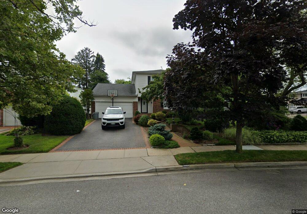
1944 Julian Ln Merrick, NY 11566
Estimated Value: $970,000 - $1,005,332
4
Beds
3
Baths
2,225
Sq Ft
$444/Sq Ft
Est. Value
About This Home
This home is located at 1944 Julian Ln, Merrick, NY 11566 and is currently estimated at $987,666, approximately $443 per square foot. 1944 Julian Ln is a home located in Nassau County with nearby schools including Burcham Elementary School, Merrick Avenue Middle School, and John F. Kennedy High School.
Ownership History
Date
Name
Owned For
Owner Type
Purchase Details
Closed on
Jan 5, 2011
Sold by
Epstein Arnold and Epstein Phyllis
Bought by
Kaplan Matthew and Manzo Rosa
Current Estimated Value
Home Financials for this Owner
Home Financials are based on the most recent Mortgage that was taken out on this home.
Original Mortgage
$440,000
Outstanding Balance
$297,674
Interest Rate
4.62%
Mortgage Type
Purchase Money Mortgage
Estimated Equity
$689,992
Purchase Details
Closed on
Jul 10, 2006
Sold by
Epstein Arnold
Purchase Details
Closed on
Oct 7, 1999
Sold by
Epstein Arnold and Epstein Phyllis
Bought by
Epstein Arnold and Epstein Phyllis
Create a Home Valuation Report for This Property
The Home Valuation Report is an in-depth analysis detailing your home's value as well as a comparison with similar homes in the area
Home Values in the Area
Average Home Value in this Area
Purchase History
| Date | Buyer | Sale Price | Title Company |
|---|---|---|---|
| Kaplan Matthew | $550,000 | -- | |
| -- | -- | -- | |
| Epstein Arnold | -- | Commonwealth Land Title Ins |
Source: Public Records
Mortgage History
| Date | Status | Borrower | Loan Amount |
|---|---|---|---|
| Open | Kaplan Matthew | $440,000 |
Source: Public Records
Tax History Compared to Growth
Tax History
| Year | Tax Paid | Tax Assessment Tax Assessment Total Assessment is a certain percentage of the fair market value that is determined by local assessors to be the total taxable value of land and additions on the property. | Land | Improvement |
|---|---|---|---|---|
| 2025 | $18,547 | $611 | $244 | $367 |
| 2024 | $4,511 | $659 | $263 | $396 |
| 2023 | $18,110 | $675 | $270 | $405 |
| 2022 | $18,110 | $709 | $283 | $426 |
| 2021 | $25,731 | $719 | $287 | $432 |
| 2020 | $19,043 | $910 | $825 | $85 |
| 2019 | $15,826 | $910 | $737 | $173 |
| 2018 | $14,774 | $1,018 | $0 | $0 |
| 2017 | $10,288 | $1,018 | $779 | $239 |
| 2016 | $14,644 | $1,078 | $631 | $447 |
| 2015 | $4,516 | $1,138 | $666 | $472 |
| 2014 | $4,516 | $1,138 | $666 | $472 |
| 2013 | $5,295 | $1,410 | $825 | $585 |
Source: Public Records
Map
Nearby Homes
- 2885 Preston Ln
- 1934 Julian Ln
- 1958 Julian Ln
- 2891 Preston Ln
- 1941 Julian Ln
- 2880 Preston Ln
- 1989 Lowell Ln
- 2886 Preston Ln
- 1960 Leslie Ln
- 1933 Julian Ln
- 1928 Julian Ln
- 2897 Preston Ln
- 2892 Preston Ln
- 1993 Lowell Ln
- 1927 Julian Ln
- 1950 Leslie Ln
- 2899 Joyce Ln
- 2893 Joyce Ln
- 1968 Julian Ln
- 2898 Preston Ln