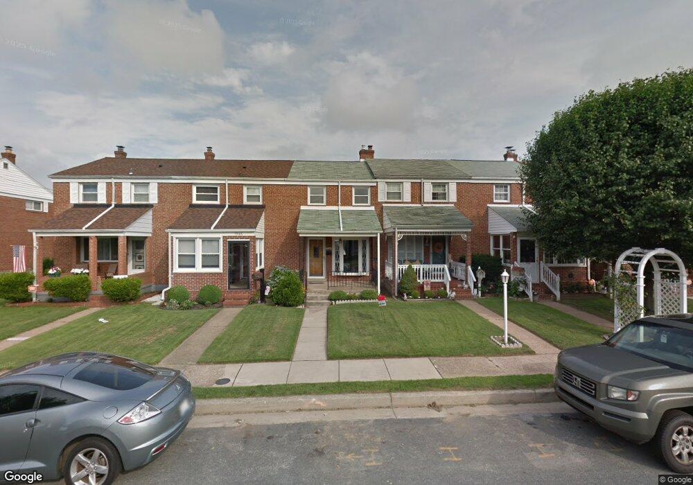
1944 Ormand Rd Dundalk, MD 21222
Estimated Value: $155,046 - $210,000
Studio
1
Bath
896
Sq Ft
$210/Sq Ft
Est. Value
About This Home
This home is located at 1944 Ormand Rd, Dundalk, MD 21222 and is currently estimated at $188,012, approximately $209 per square foot. 1944 Ormand Rd is a home located in Baltimore County with nearby schools including Grange Elementary School, General John Stricker Middle School, and Patapsco High & Center for Arts.
Ownership History
Date
Name
Owned For
Owner Type
Purchase Details
Closed on
Sep 17, 2015
Sold by
Keiser Nancy Carroll
Bought by
Tate Ii Robert S and Tate Michelle Malvaso
Current Estimated Value
Home Financials for this Owner
Home Financials are based on the most recent Mortgage that was taken out on this home.
Original Mortgage
$56,250
Outstanding Balance
$44,241
Interest Rate
3.95%
Mortgage Type
New Conventional
Estimated Equity
$143,771
Purchase Details
Closed on
Jan 15, 2004
Sold by
Keiser Raymond G
Bought by
Keiser Beatrice J
Create a Home Valuation Report for This Property
The Home Valuation Report is an in-depth analysis detailing your home's value as well as a comparison with similar homes in the area
Home Values in the Area
Average Home Value in this Area
Purchase History
| Date | Buyer | Sale Price | Title Company |
|---|---|---|---|
| Tate Ii Robert S | $75,000 | Key Title Inc | |
| Keiser Beatrice J | -- | -- | |
| Keiser Beatrice J | -- | -- |
Source: Public Records
Mortgage History
| Date | Status | Borrower | Loan Amount |
|---|---|---|---|
| Open | Tate Ii Robert S | $56,250 |
Source: Public Records
Tax History
| Year | Tax Paid | Tax Assessment Tax Assessment Total Assessment is a certain percentage of the fair market value that is determined by local assessors to be the total taxable value of land and additions on the property. | Land | Improvement |
|---|---|---|---|---|
| 2025 | $2,106 | $130,267 | -- | -- |
| 2024 | $2,106 | $120,533 | $0 | $0 |
| 2023 | $1,996 | $110,800 | $36,000 | $74,800 |
| 2022 | $1,534 | $108,733 | $0 | $0 |
| 2021 | $2,247 | $106,667 | $0 | $0 |
| 2020 | $2,247 | $104,600 | $36,000 | $68,600 |
| 2019 | $1,864 | $103,833 | $0 | $0 |
| 2018 | $1,802 | $103,067 | $0 | $0 |
| 2017 | $1,534 | $102,300 | $0 | $0 |
| 2016 | $791 | $102,300 | $0 | $0 |
| 2015 | $791 | $102,300 | $0 | $0 |
| 2014 | $791 | $117,900 | $0 | $0 |
Source: Public Records
Map
Nearby Homes
- 1935 Stanhope Rd
- 1954 Stanhope Rd
- 1930 Stanhope Rd
- 2012 Wareham Rd
- 2782 Moorgate Rd
- 2811 Moorgate Rd
- 1911 Sunberry Rd
- 7252 Meadow Ln
- 7807 Rockbourne Rd
- 1940H Robinwood Rd
- 7832 Rockbourne Rd
- 7111 Sollers Point Rd
- 9 Vista Mobile Dr
- 2924 Sollers Point Rd
- 2953 Yorkway
- 7849 Harold Rd
- 3145 Baybriar Rd
- 7512 School Ave
- 8201 Seaworthy Way
- 100 Shipway
- 1942 Ormand Rd
- 1946 Ormand Rd
- 1940 Ormand Rd
- 1948 Ormand Rd
- 1938 Ormand Rd
- 1950 Ormand Rd
- 1936 Ormand Rd
- 1952 Ormand Rd
- 1954 Ormand Rd
- 1934 Ormand Rd
- 1945 Wareham Rd
- 1943 Wareham Rd
- 1947 Wareham Rd
- 1941 Wareham Rd
- 1949 Wareham Rd
- 1956 Ormand Rd
- 1939 Wareham Rd
- 1951 Wareham Rd
- 1937 Wareham Rd
- 1932 Ormand Rd
Your Personal Tour Guide
Ask me questions while you tour the home.