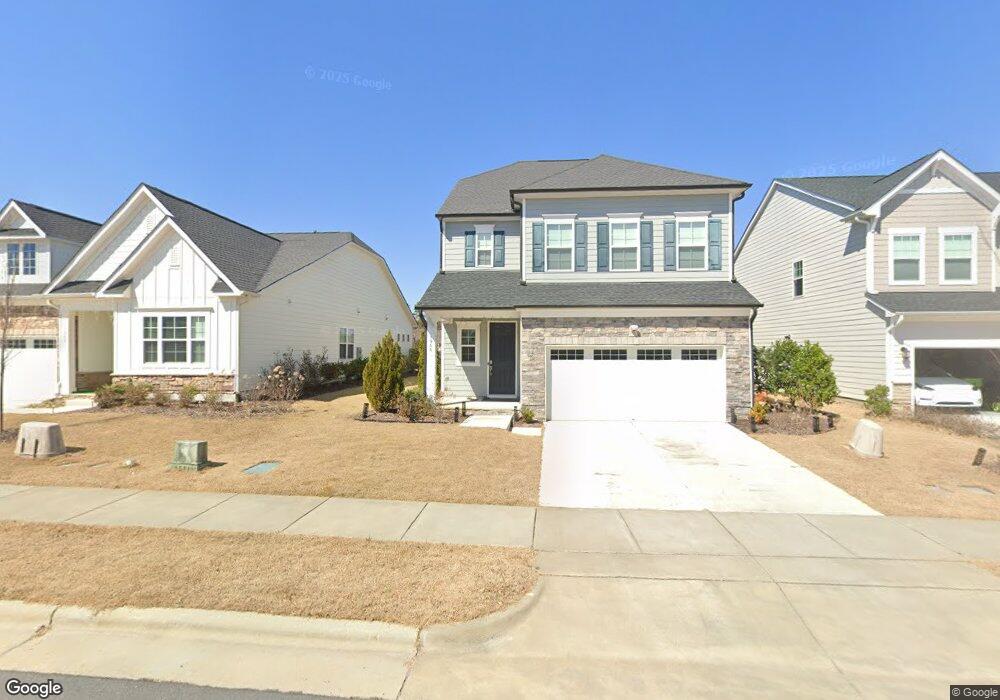
1944 Rothesay Dr Unit 312 Apex, NC 27502
Friendship NeighborhoodEstimated Value: $762,576 - $815,000
4
Beds
4
Baths
3,202
Sq Ft
$246/Sq Ft
Est. Value
About This Home
This home is located at 1944 Rothesay Dr Unit 312, Apex, NC 27502 and is currently estimated at $786,894, approximately $245 per square foot. 1944 Rothesay Dr Unit 312 is a home located in Wake County with nearby schools including Apex Friendship Elementary, Apex Friendship Middle School, and Apex Friendship High School.
Ownership History
Date
Name
Owned For
Owner Type
Purchase Details
Closed on
Apr 29, 2021
Sold by
Calatlantic Group Inc
Bought by
Kommera Harish and Buruguru Madhavi
Current Estimated Value
Home Financials for this Owner
Home Financials are based on the most recent Mortgage that was taken out on this home.
Original Mortgage
$513,090
Outstanding Balance
$464,261
Interest Rate
3%
Mortgage Type
New Conventional
Estimated Equity
$322,633
Create a Home Valuation Report for This Property
The Home Valuation Report is an in-depth analysis detailing your home's value as well as a comparison with similar homes in the area
Home Values in the Area
Average Home Value in this Area
Purchase History
| Date | Buyer | Sale Price | Title Company |
|---|---|---|---|
| Kommera Harish | $571,000 | Lennar Title Llc |
Source: Public Records
Mortgage History
| Date | Status | Borrower | Loan Amount |
|---|---|---|---|
| Open | Kommera Harish | $513,090 |
Source: Public Records
Tax History Compared to Growth
Tax History
| Year | Tax Paid | Tax Assessment Tax Assessment Total Assessment is a certain percentage of the fair market value that is determined by local assessors to be the total taxable value of land and additions on the property. | Land | Improvement |
|---|---|---|---|---|
| 2025 | $6,376 | $727,953 | $130,000 | $597,953 |
| 2024 | $6,233 | $727,953 | $130,000 | $597,953 |
| 2023 | $5,158 | $468,364 | $75,000 | $393,364 |
| 2022 | $4,842 | $468,364 | $75,000 | $393,364 |
| 2021 | $4,657 | $468,364 | $75,000 | $393,364 |
| 2020 | $4,610 | $468,364 | $75,000 | $393,364 |
| 2019 | $3,696 | $325,426 | $85,000 | $240,426 |
Source: Public Records
Map
Nearby Homes
- 1913 Stanlake Dr
- 3112 Mavisbank Cir
- 3138 Curling Creek Dr
- 2010 Song Breeze Ln
- 3156 Curling Creek Dr
- 610 Cable Ct
- 616 Cable Ct
- 0-0 Mount Zion Church Rd
- 0 Mount Zion Church Rd
- 2701 Sugar Mountain Way
- 2876 MacIntosh Woods Dr
- 2928 Murray Ridge Trail
- 1608 Kythira Dr
- 2849 Dallas Valley Ln
- 614 Cable Ct
- 2751 Lake Waccamaw Trail
- 0 Humie Olive Rd
- 2842 Lemnos Dr
- 2905 Richardson Rd
- 2907 Richardson Rd
- 1948 Rothesay Dr Unit 311
- 1940 Rothesay Dr
- 1936 Rothesay Dr
- 1954 Rothesay Dr Unit 310
- 1932 Rothesay Dr
- 1932 Rothe Rothesay Dr
- 1945 Rothesay Dr
- 1949 Rothesay Dr
- 1958 Rothesay Dr Unit 309
- 1941 Rothesay Dr
- 1937 Rothesay Dr
- 1953 Rothesay Dr
- 1928 Rothesay Dr
- 1957 Rothesay Dr Unit 306
- 1962 Rothesay Dr Unit 308
- 3175 Mavisbank Cir
- 1933 Rothesay Dr
- 1929 Rothesay Dr
- 1961 Rothesay Dr Unit 307
- 1924 Rothesay Dr