1944 SE 583 Dr Locust Grove, OK 74352
Estimated Value: $86,000 - $185,000
1
Bed
1
Bath
466
Sq Ft
$262/Sq Ft
Est. Value
About This Home
This home is located at 1944 SE 583 Dr, Locust Grove, OK 74352 and is currently estimated at $122,000, approximately $261 per square foot. 1944 SE 583 Dr is a home located in Mayes County with nearby schools including Locust Grove Early Lrning Center, Locust Grove Upper Elementary School, and Locust Grove Middle School.
Ownership History
Date
Name
Owned For
Owner Type
Purchase Details
Closed on
Oct 25, 2024
Sold by
Berry Holly A and Berry David M
Bought by
Curtis James W and Curtis Dawnya J
Current Estimated Value
Purchase Details
Closed on
Aug 1, 2017
Sold by
Crown Scott R
Bought by
Berry Holly A and Berry David M
Purchase Details
Closed on
Apr 22, 2002
Sold by
Littlefield Dj
Bought by
Crow Scott R and Crow Beverly
Create a Home Valuation Report for This Property
The Home Valuation Report is an in-depth analysis detailing your home's value as well as a comparison with similar homes in the area
Home Values in the Area
Average Home Value in this Area
Purchase History
| Date | Buyer | Sale Price | Title Company |
|---|---|---|---|
| Curtis James W | $5,000 | None Listed On Document | |
| Berry Holly A | -- | None Available | |
| Crow Scott R | $25,000 | -- |
Source: Public Records
Tax History Compared to Growth
Tax History
| Year | Tax Paid | Tax Assessment Tax Assessment Total Assessment is a certain percentage of the fair market value that is determined by local assessors to be the total taxable value of land and additions on the property. | Land | Improvement |
|---|---|---|---|---|
| 2025 | $320 | $3,436 | $3,313 | $123 |
| 2023 | $320 | $4,727 | $1,804 | $2,923 |
| 2022 | $406 | $4,502 | $1,702 | $2,800 |
| 2021 | $395 | $4,287 | $1,638 | $2,649 |
| 2020 | $382 | $4,083 | $1,574 | $2,509 |
| 2019 | $364 | $3,889 | $1,452 | $2,437 |
| 2018 | $371 | $3,889 | $1,452 | $2,437 |
| 2017 | $191 | $3,001 | $1,220 | $1,781 |
| 2016 | $179 | $2,914 | $1,197 | $1,717 |
| 2015 | $96 | $1,994 | $956 | $1,038 |
| 2014 | $90 | $1,936 | $875 | $1,061 |
Source: Public Records
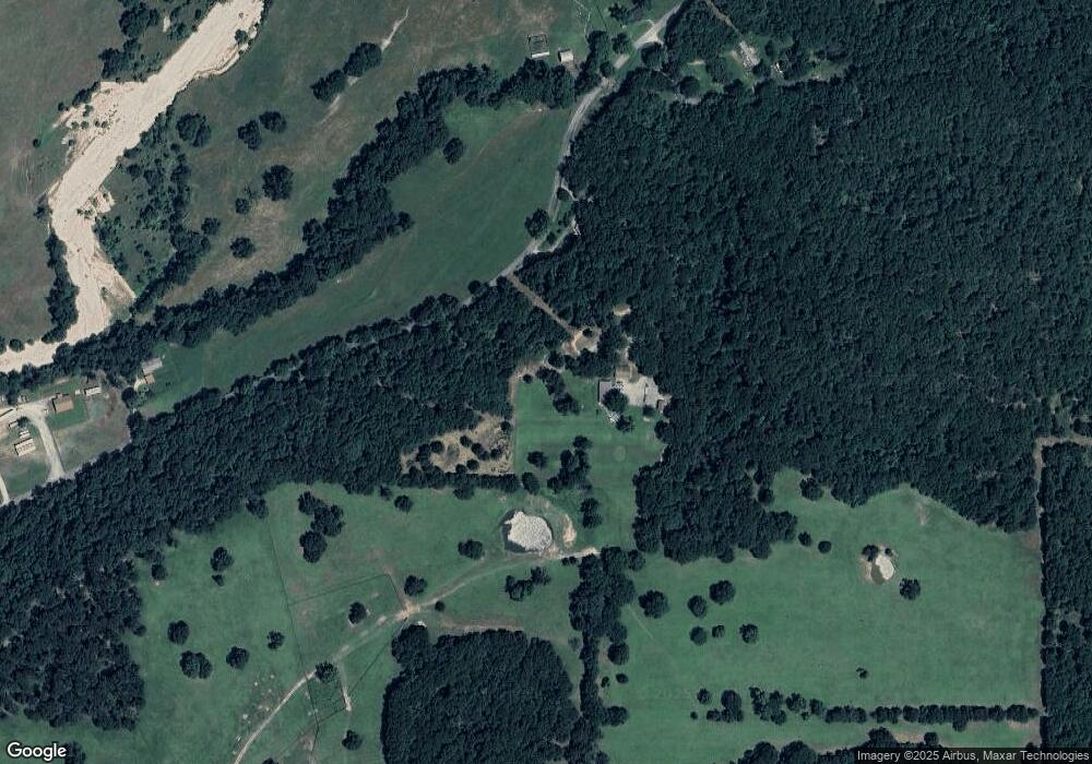
Map
Nearby Homes
- 9212 S 443 Rd
- TBD SE 575
- 6164 E 578
- 6959 E 561 Rd
- 0 Hwy 82 S Unit 2503331
- 815 S Cherokee St
- 715 S Cherokee St
- 608 S Cherokee St
- 10171 U S Highway 412
- 00 Hill St
- 301 S Water St
- 8604 S County Road 4468
- 0 443 Unit 2440616
- 57 Joe Koelsch Dr
- 310 W Harrison
- 212 N Mayes St
- 1 W Ross St
- 415 N Broadway
- 12293 E 590 Rd
- 000 Earl Smith Rd