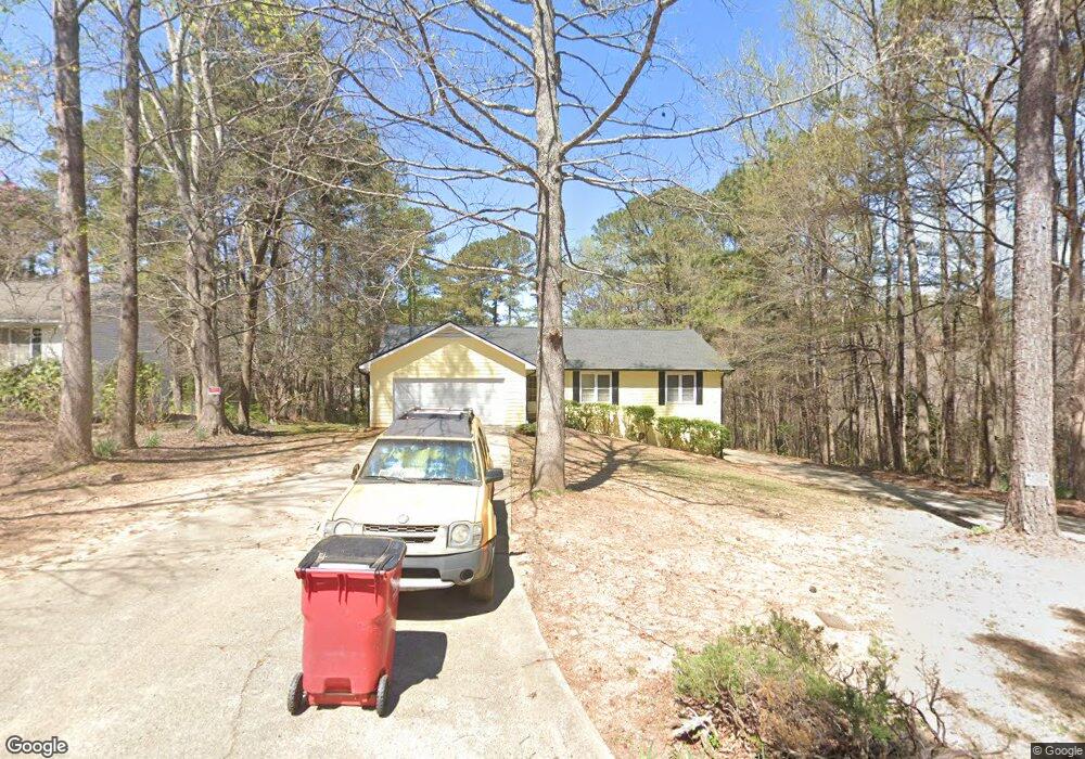
1944 Stanton Way Jonesboro, GA 30236
Estimated Value: $268,040 - $344,000
3
Beds
2
Baths
2,568
Sq Ft
$120/Sq Ft
Est. Value
About This Home
This home is located at 1944 Stanton Way, Jonesboro, GA 30236 and is currently estimated at $309,010, approximately $120 per square foot. 1944 Stanton Way is a home located in Clayton County with nearby schools including Arnold Elementary School, M. D. Roberts Middle School, and Jonesboro High School.
Ownership History
Date
Name
Owned For
Owner Type
Purchase Details
Closed on
Mar 12, 2007
Sold by
Seaton M Ray
Bought by
Luna Wendy M
Current Estimated Value
Home Financials for this Owner
Home Financials are based on the most recent Mortgage that was taken out on this home.
Original Mortgage
$163,200
Outstanding Balance
$98,566
Interest Rate
6.22%
Mortgage Type
New Conventional
Estimated Equity
$210,444
Purchase Details
Closed on
Oct 29, 1993
Sold by
Slaten Andrew R Joyce
Bought by
Seaton M Ray
Home Financials for this Owner
Home Financials are based on the most recent Mortgage that was taken out on this home.
Original Mortgage
$84,600
Interest Rate
6.97%
Create a Home Valuation Report for This Property
The Home Valuation Report is an in-depth analysis detailing your home's value as well as a comparison with similar homes in the area
Home Values in the Area
Average Home Value in this Area
Purchase History
| Date | Buyer | Sale Price | Title Company |
|---|---|---|---|
| Luna Wendy M | $163,200 | -- | |
| Seaton M Ray | $94,000 | -- |
Source: Public Records
Mortgage History
| Date | Status | Borrower | Loan Amount |
|---|---|---|---|
| Open | Luna Wendy M | $163,200 | |
| Previous Owner | Seaton M Ray | $84,600 |
Source: Public Records
Tax History Compared to Growth
Tax History
| Year | Tax Paid | Tax Assessment Tax Assessment Total Assessment is a certain percentage of the fair market value that is determined by local assessors to be the total taxable value of land and additions on the property. | Land | Improvement |
|---|---|---|---|---|
| 2024 | $3,435 | $97,080 | $8,000 | $89,080 |
| 2023 | $2,828 | $78,320 | $7,832 | $70,488 |
| 2022 | $2,719 | $78,320 | $7,832 | $70,488 |
| 2021 | $2,272 | $78,320 | $8,000 | $70,320 |
| 2020 | $2,575 | $73,424 | $8,000 | $65,424 |
| 2019 | $2,322 | $66,272 | $6,400 | $59,872 |
| 2018 | $2,018 | $58,761 | $6,400 | $52,361 |
| 2017 | $1,694 | $50,690 | $6,400 | $44,290 |
| 2016 | $1,342 | $49,455 | $6,400 | $43,055 |
| 2015 | $679 | $0 | $0 | $0 |
| 2014 | $675 | $26,000 | $6,400 | $19,600 |
Source: Public Records
Map
Nearby Homes
- 8228 Lullwater Ct
- 1907 Spivey Village Cir
- 1730 Salina Dr
- 8562 Jarrard Ct
- 8327 Commanche Ct
- 8297 San Jose Trail
- 2140 Indian Hill Rd
- 7972 Woods Ln Unit IX
- 1732 Winding Woods Ln
- 8698 Twin Oaks Dr
- 8372 Carlington Ln
- 8356 Carlington Ln
- 8399 Carlington Ln
- 8391 Carlington Ln
- 1976 Emerald Dr
- 1738 Sherry Ln Unit 3
- 1904 Cades Cove
- 1726 Sherry Ln
- 1753 Brenda Dr
- 8033 Aloha Dr
- 1936 Stanton Way
- 1926 Stanton Way
- 1929 Holston Dr
- 1917 Holston Dr
- 1937 Stanton Way
- 1916 Stanton Way
- 1907 Holston Dr
- 1925 Stanton Way
- 1897 Holston Dr
- 1906 Stanton Way
- 1913 Stanton Way
- 1928 Holston Dr
- 1940 Holston Dr
- 1916 Holston Dr
- 1952 Holston Dr
- 1905 Stanton Way
- 1887 Holston Dr
- 1894 Stanton Way
- 1900 Holston Dr
- 0 Stanton Way