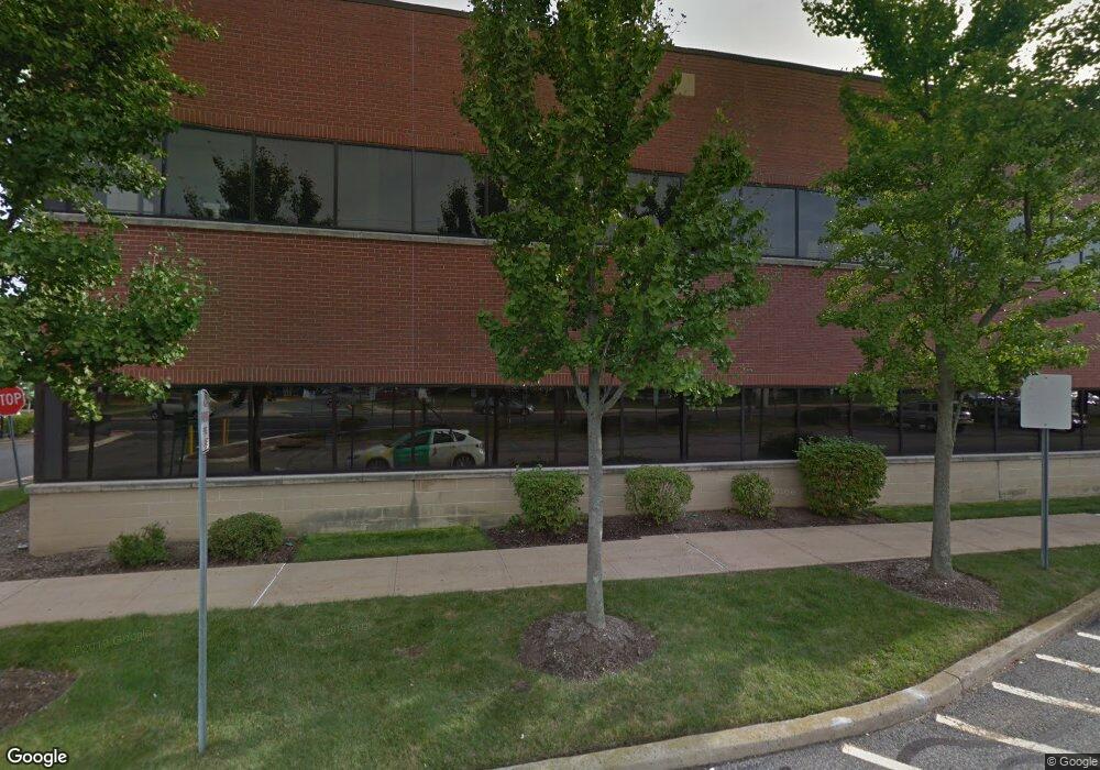
1944 State Route 33 Neptune, NJ 07753
Estimated Value: $561,049
--
Bed
--
Bath
1,355
Sq Ft
$414/Sq Ft
Est. Value
About This Home
This home is located at 1944 State Route 33, Neptune, NJ 07753 and is currently estimated at $561,049, approximately $414 per square foot. 1944 State Route 33 is a home located in Monmouth County with nearby schools including Neptune High School.
Ownership History
Date
Name
Owned For
Owner Type
Purchase Details
Closed on
Dec 27, 2012
Sold by
Meridian Health Realty Corp
Bought by
Klein Investment Properties Llc
Current Estimated Value
Home Financials for this Owner
Home Financials are based on the most recent Mortgage that was taken out on this home.
Original Mortgage
$212,500
Interest Rate
3.36%
Mortgage Type
Commercial
Create a Home Valuation Report for This Property
The Home Valuation Report is an in-depth analysis detailing your home's value as well as a comparison with similar homes in the area
Home Values in the Area
Average Home Value in this Area
Purchase History
| Date | Buyer | Sale Price | Title Company |
|---|---|---|---|
| Klein Investment Properties Llc | $250,000 | Agent For Old Republic Natio |
Source: Public Records
Mortgage History
| Date | Status | Borrower | Loan Amount |
|---|---|---|---|
| Closed | Klein Investment Properties Llc | $212,500 |
Source: Public Records
Tax History Compared to Growth
Tax History
| Year | Tax Paid | Tax Assessment Tax Assessment Total Assessment is a certain percentage of the fair market value that is determined by local assessors to be the total taxable value of land and additions on the property. | Land | Improvement |
|---|---|---|---|---|
| 2025 | $6,664 | $380,600 | $116,200 | $264,400 |
| 2024 | $6,193 | $380,600 | $116,200 | $264,400 |
| 2023 | $6,193 | $342,900 | $116,200 | $226,700 |
| 2022 | $7,022 | $332,300 | $105,600 | $226,700 |
| 2021 | $7,128 | $332,300 | $105,600 | $226,700 |
| 2020 | $7,038 | $332,300 | $105,600 | $226,700 |
| 2019 | $7,128 | $332,300 | $105,600 | $226,700 |
| 2018 | $7,211 | $332,300 | $105,600 | $226,700 |
| 2017 | $6,888 | $304,900 | $100,600 | $204,300 |
| 2016 | $6,906 | $304,900 | $100,600 | $204,300 |
| 2015 | $6,790 | $304,900 | $100,600 | $204,300 |
| 2014 | $8,260 | $304,900 | $100,600 | $204,300 |
Source: Public Records
Map
Nearby Homes
- 220 W Sylvania Ave Unit 25
- 1 Oak Dr
- 142 1/2 5th Ave Unit Residence 205
- 142 1/2 5th Ave Unit Residence 207
- 142 1/2 5th Ave Unit Residence 108
- 142 1/2 5th Ave Unit Residence 402
- 142 1/2 5th Ave Unit Residence 206
- 12 Tucker Dr
- 134 Summit Ave
- 55 N Route 35 Unit 12A
- 1409 7th Ave
- 1208 Alpine Trail
- 1961 W Lake Ave
- 601/603 Route 35
- 3 5th Ave Unit Residence 209
- 3 5th Ave Unit Residence 406
- 3 5th Ave Unit Residence 203
- 3 5th Ave Unit Residence 108
- 3 5th Ave Unit Residence 301
- 1329 6th Ave
- 1944 State Route 33
- 1944 State Route 33 Unit 205
- 1944 State Route 33
- 1944 State Route 33
- 1944 State Route 33 Unit 202
- 1944 State Route 33 Unit 201
- 1944 State Route 33
- 1944 State Route 33
- 1944 State Route 33
- 1944 State Route 33 Unit 206
- 0000 Route 33
- 1234 Holmes Ct
- 1235 Holmes Ct
- 1233 Holmes Ct
- 1236 Holmes Ct
- 1232 Holmes Ct Unit 166
- 1237 Holmes Ct
- 1238 Holmes Ct
- 1231 Holmes Ct
- 1239 Holmes Ct