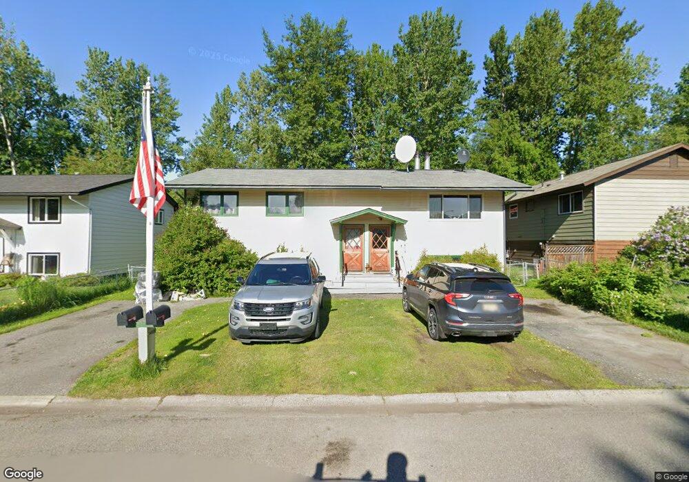
1944 Thunderbird Place Anchorage, AK 99508
Airport Heights NeighborhoodEstimated Value: $219,829 - $263,000
2
Beds
1
Bath
940
Sq Ft
$257/Sq Ft
Est. Value
About This Home
This home is located at 1944 Thunderbird Place, Anchorage, AK 99508 and is currently estimated at $241,415, approximately $256 per square foot. 1944 Thunderbird Place is a home located in Anchorage Municipality with nearby schools including Airport Heights Elementary School, Wendler Middle School, and Bettye Davis East Anchorage High School.
Ownership History
Date
Name
Owned For
Owner Type
Purchase Details
Closed on
Dec 10, 1997
Sold by
Maxey Lawrence R
Bought by
Olson Sharon L
Current Estimated Value
Home Financials for this Owner
Home Financials are based on the most recent Mortgage that was taken out on this home.
Interest Rate
7.15%
Create a Home Valuation Report for This Property
The Home Valuation Report is an in-depth analysis detailing your home's value as well as a comparison with similar homes in the area
Home Values in the Area
Average Home Value in this Area
Purchase History
| Date | Buyer | Sale Price | Title Company |
|---|---|---|---|
| Olson Sharon L | -- | -- |
Source: Public Records
Mortgage History
| Date | Status | Borrower | Loan Amount |
|---|---|---|---|
| Closed | Olson Sharon L | -- | |
| Closed | Olson Sharon L | $0 |
Source: Public Records
Tax History
| Year | Tax Paid | Tax Assessment Tax Assessment Total Assessment is a certain percentage of the fair market value that is determined by local assessors to be the total taxable value of land and additions on the property. | Land | Improvement |
|---|---|---|---|---|
| 2025 | $47 | $228,000 | -- | $228,000 |
| 2024 | -- | $209,400 | $0 | $209,400 |
| 2023 | $2,972 | $174,500 | $0 | $174,500 |
| 2022 | $4 | $187,800 | $0 | $187,800 |
| 2021 | $3,319 | $184,200 | $0 | $184,200 |
| 2020 | $10 | $189,600 | $0 | $189,600 |
| 2019 | $90 | $194,400 | $0 | $194,400 |
| 2018 | $4 | $187,800 | $0 | $187,800 |
| 2017 | $268 | $185,700 | $0 | $185,700 |
| 2016 | $2,284 | $178,900 | $0 | $178,900 |
| 2015 | $2,284 | $169,800 | $0 | $169,800 |
| 2014 | $2,284 | $156,600 | $0 | $156,600 |
Source: Public Records
Map
Nearby Homes
- 3215 E 18th Cir
- 1703 Alder Dr
- 3514 E 19th Ave
- 000 Tr A Thurston
- 1524 Rosemary St
- 1701 Aleutian St
- 1536 Valarian St
- 3714 E 17th Ave
- 1811 Talkeetna St
- 2211 Daybreak Ct
- 3958 Reka Dr Unit A1
- 2601 Darby Cir
- 1715 Katrina Cir
- 2089 Cliffside Dr Unit 29B-6
- 1610 Eastridge Dr Unit 301
- 1625 Sitka St Unit 103
- 1620 Eastridge Dr Unit 203
- 4358 Reka Dr Unit 4358
- 4011 San Roberto Ave
- 4660 Reka Dr Unit D05
- 1946 Thunderbird Place
- 3124 Cassius Ct
- 3126 Cassius Ct Unit 4
- 3126 Cassius Ct
- 1940 Thunderbird Place
- 3138 Cassius Ct *Pvrm*
- 3136 Cassius Ct
- 3138 Cassius Ct
- 3138 Cassius Ct Unit 6
- 3148 Cassius Ct
- 1928 Thunderbird Place
- 3150 Cassius Ct
- 3150 Cassius Ct Unit 8
- 1923 Thunderbird Place
- 1916 Thunderbird Place
- 3166 Cassius Ct
- 3166 Cassius Ct Unit 9
- 3168 Cassius Ct
- 3168 Cassius Ct Unit 10
- 3137 Cassius Ct
Your Personal Tour Guide
Ask me questions while you tour the home.