1944 W Highway 60 Ponca City, OK 74601
Estimated Value: $65,000 - $95,000
2
Beds
1
Bath
995
Sq Ft
$78/Sq Ft
Est. Value
About This Home
This home is located at 1944 W Highway 60, Ponca City, OK 74601 and is currently estimated at $78,023, approximately $78 per square foot. 1944 W Highway 60 is a home located in Kay County with nearby schools including Garfield Elementary School, Ponca City West Middle School, and Ponca City East Middle School.
Ownership History
Date
Name
Owned For
Owner Type
Purchase Details
Closed on
Nov 28, 2012
Sold by
Melton Ralph T and Melton Tammy Lynn
Bought by
Swopes Gabriel D
Current Estimated Value
Home Financials for this Owner
Home Financials are based on the most recent Mortgage that was taken out on this home.
Original Mortgage
$34,785
Outstanding Balance
$15,407
Interest Rate
3.41%
Mortgage Type
New Conventional
Estimated Equity
$62,616
Purchase Details
Closed on
Apr 12, 2002
Sold by
Ralph Melton
Bought by
Tammy Ralph and Tammy Melton
Purchase Details
Closed on
Apr 20, 1998
Sold by
Marsha Mauk
Bought by
Ralph Melton
Create a Home Valuation Report for This Property
The Home Valuation Report is an in-depth analysis detailing your home's value as well as a comparison with similar homes in the area
Home Values in the Area
Average Home Value in this Area
Purchase History
| Date | Buyer | Sale Price | Title Company |
|---|---|---|---|
| Swopes Gabriel D | $33,000 | None Available | |
| Tammy Ralph | -- | -- | |
| Ralph Melton | $28,000 | -- |
Source: Public Records
Mortgage History
| Date | Status | Borrower | Loan Amount |
|---|---|---|---|
| Open | Swopes Gabriel D | $34,785 |
Source: Public Records
Tax History Compared to Growth
Tax History
| Year | Tax Paid | Tax Assessment Tax Assessment Total Assessment is a certain percentage of the fair market value that is determined by local assessors to be the total taxable value of land and additions on the property. | Land | Improvement |
|---|---|---|---|---|
| 2024 | $256 | $3,752 | $567 | $3,185 |
| 2023 | $256 | $3,643 | $567 | $3,076 |
| 2022 | $243 | $3,643 | $567 | $3,076 |
| 2021 | $244 | $3,643 | $567 | $3,076 |
| 2020 | $244 | $3,629 | $567 | $3,062 |
| 2019 | $236 | $3,524 | $567 | $2,957 |
| 2018 | $239 | $3,524 | $567 | $2,957 |
| 2017 | $243 | $3,594 | $567 | $3,027 |
| 2016 | $243 | $3,594 | $567 | $3,027 |
| 2015 | $248 | $3,632 | $567 | $3,065 |
| 2014 | $248 | $3,673 | $567 | $3,106 |
Source: Public Records
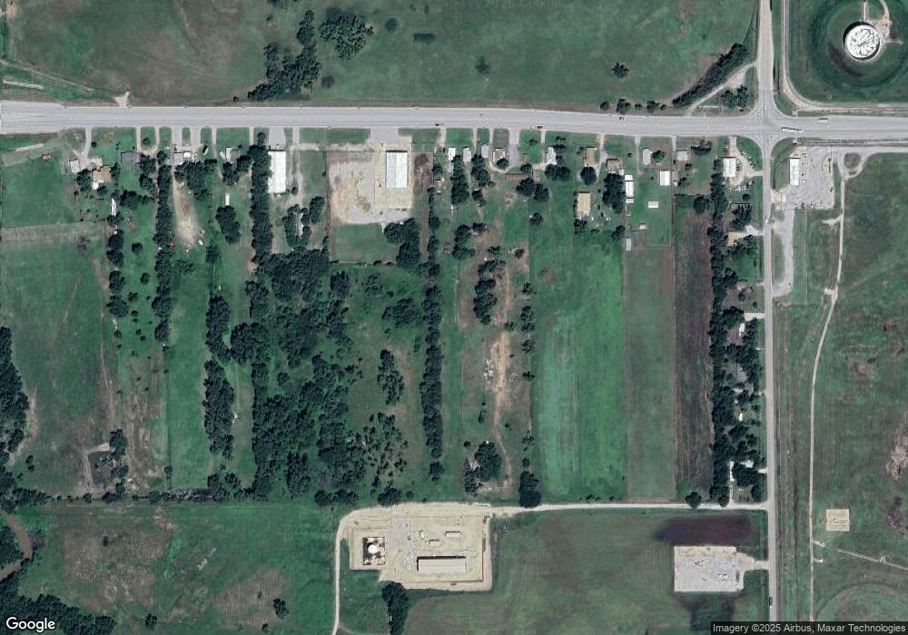
Map
Nearby Homes
- 1940 W Highway 60
- 1910 W Highway 60
- 1890 W Highway 60
- 1880 W Highway 60
- 1960 W Highway 60
- 1866 W Highway 60
- 1864 W Highway 60
- 1970 W Highway 60
- 1860 W Highway 60
- 3068 S Waverly St
- 2000 W Highway 60
- 3128 S Waverly St
- 3152 S Waverly St
- 3234 S Waverly St
- 3372 S Waverly St
- 3394 S Waverly St
- 3408 S Waverly St
- 3424 S Waverly St
- 2985 W North Ave
- 1030 S Waverly St