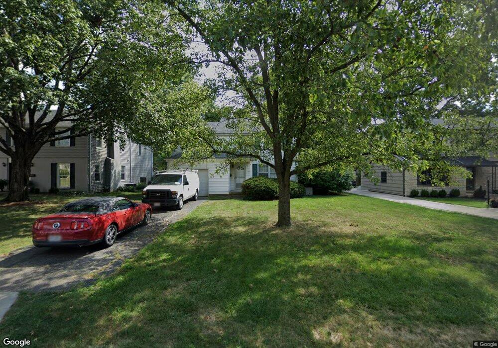
1944 Wyandotte Rd Columbus, OH 43212
Estimated Value: $518,968 - $567,000
3
Beds
2
Baths
1,418
Sq Ft
$383/Sq Ft
Est. Value
About This Home
This home is located at 1944 Wyandotte Rd, Columbus, OH 43212 and is currently estimated at $542,742, approximately $382 per square foot. 1944 Wyandotte Rd is a home located in Franklin County with nearby schools including Barrington Road Elementary School, Jones Middle School, and Upper Arlington High School.
Ownership History
Date
Name
Owned For
Owner Type
Purchase Details
Closed on
Jun 26, 2009
Sold by
Roach Lucretia D
Bought by
Roach Gregory
Current Estimated Value
Purchase Details
Closed on
Sep 15, 2005
Sold by
Smith Jean
Bought by
Roach Gregory and Roach Lucretia D
Purchase Details
Closed on
Jul 17, 1975
Bought by
Smith Jean
Create a Home Valuation Report for This Property
The Home Valuation Report is an in-depth analysis detailing your home's value as well as a comparison with similar homes in the area
Home Values in the Area
Average Home Value in this Area
Purchase History
| Date | Buyer | Sale Price | Title Company |
|---|---|---|---|
| Roach Gregory | -- | Attorney | |
| Roach Gregory | $220,000 | Chicago Tit | |
| Smith Jean | -- | -- |
Source: Public Records
Tax History Compared to Growth
Tax History
| Year | Tax Paid | Tax Assessment Tax Assessment Total Assessment is a certain percentage of the fair market value that is determined by local assessors to be the total taxable value of land and additions on the property. | Land | Improvement |
|---|---|---|---|---|
| 2024 | $9,233 | $159,190 | $129,890 | $29,300 |
| 2023 | $9,102 | $159,180 | $129,885 | $29,295 |
| 2022 | $8,340 | $119,350 | $47,810 | $71,540 |
| 2021 | $7,383 | $119,350 | $47,810 | $71,540 |
| 2020 | $7,317 | $119,350 | $47,810 | $71,540 |
| 2019 | $7,427 | $107,100 | $47,810 | $59,290 |
| 2018 | $6,506 | $107,100 | $47,810 | $59,290 |
| 2017 | $7,370 | $107,100 | $47,810 | $59,290 |
| 2016 | $5,633 | $85,190 | $41,440 | $43,750 |
| 2015 | $5,628 | $85,190 | $41,440 | $43,750 |
| 2014 | $5,634 | $85,190 | $41,440 | $43,750 |
| 2013 | $2,689 | $77,420 | $37,660 | $39,760 |
Source: Public Records
Map
Nearby Homes
- 1782 Wyandotte Rd
- 2110 Northwest Blvd
- 1733 Elmwood Ave
- 1661 Ashland Ave Unit 663
- 1655-1657 Ashland Ave
- 1398 Lower Green Cir Unit 1398
- 1535 Doone Rd
- 1561 Glenn Ave
- 1869 Tewksbury Rd
- 1565 Berkshire Rd
- 2015 W 5th Ave Unit 211
- 2015 W 5th Ave Unit 102
- 2015 W 5th Ave Unit 108
- 1631 Roxbury Rd Unit F3
- 1631 Roxbury Rd Unit B6
- 1459 Elmwood Ave Unit 1459
- 1364 W 7th Ave
- 2063 Westover Rd
- 00 W 7th Ave
- 1475 W 3rd Ave Unit 204
- 1950 Wyandotte Rd
- 1936 Wyandotte Rd
- 1958 Wyandotte Rd
- 1926 Wyandotte Rd
- 1943 Glenn Ave
- 1927 Glenn Ave
- 1966 Wyandotte Rd
- 1945 Wyandotte Rd
- 1919 Glenn Ave
- 1951 Glenn Ave
- 1939 Wyandotte Rd
- 1953 Wyandotte Rd
- 1974 Wyandotte Rd
- 1931 Wyandotte Rd
- 1910 Wyandotte Rd
- 1961 Wyandotte Rd
- 1911 Glenn Ave
- 1959 Glenn Ave
- 1921 Wyandotte Rd
- 1982 Edgemont Rd