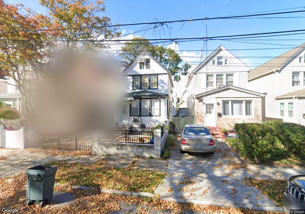
19441 115th Rd Saint Albans, NY 11412
Saint Albans NeighborhoodEstimated Value: $634,000 - $745,000
4
Beds
3
Baths
1,494
Sq Ft
$471/Sq Ft
Est. Value
About This Home
This home is located at 19441 115th Rd, Saint Albans, NY 11412 and is currently estimated at $703,604, approximately $470 per square foot. 19441 115th Rd is a home located in Queens County with nearby schools including P.S. 136 Roy Wilkins, I.S. 192 The Linden, and Riverton Street Charter School.
Ownership History
Date
Name
Owned For
Owner Type
Purchase Details
Closed on
Aug 31, 1999
Sold by
Sykes Rose R
Bought by
Craft Tims Laura
Current Estimated Value
Home Financials for this Owner
Home Financials are based on the most recent Mortgage that was taken out on this home.
Original Mortgage
$164,300
Interest Rate
7.83%
Mortgage Type
FHA
Create a Home Valuation Report for This Property
The Home Valuation Report is an in-depth analysis detailing your home's value as well as a comparison with similar homes in the area
Home Values in the Area
Average Home Value in this Area
Purchase History
| Date | Buyer | Sale Price | Title Company |
|---|---|---|---|
| Craft Tims Laura | $164,500 | -- |
Source: Public Records
Mortgage History
| Date | Status | Borrower | Loan Amount |
|---|---|---|---|
| Previous Owner | Craft Tims Laura | $164,300 |
Source: Public Records
Tax History Compared to Growth
Tax History
| Year | Tax Paid | Tax Assessment Tax Assessment Total Assessment is a certain percentage of the fair market value that is determined by local assessors to be the total taxable value of land and additions on the property. | Land | Improvement |
|---|---|---|---|---|
| 2025 | $4,972 | $26,352 | $7,422 | $18,930 |
| 2024 | $4,984 | $26,153 | $7,263 | $18,890 |
| 2023 | $4,674 | $24,673 | $5,823 | $18,850 |
| 2022 | $4,360 | $43,140 | $11,880 | $31,260 |
| 2021 | $4,325 | $37,380 | $11,880 | $25,500 |
| 2020 | $4,352 | $32,160 | $11,880 | $20,280 |
| 2019 | $4,266 | $30,600 | $11,880 | $18,720 |
| 2018 | $3,894 | $20,561 | $8,274 | $12,287 |
| 2017 | $3,655 | $19,398 | $9,748 | $9,650 |
| 2016 | $3,348 | $19,398 | $9,748 | $9,650 |
| 2015 | $2,177 | $20,905 | $12,811 | $8,094 |
| 2014 | $2,177 | $19,723 | $12,086 | $7,637 |
Source: Public Records
Map
Nearby Homes
- 194-19 115th Rd
- 194-34 115th Rd
- 191-68 115th Rd
- 115-37 197th St
- 191-47 114th Dr
- 11608 196th St
- 196-10 116th Ave
- 19431 114th Rd
- 114-64 198th St
- 194-23 114th Rd
- 19705 116th Ave
- 114-22 197th St
- 191-34 114th Rd
- 194-42 Murdock Ave
- 194-56 Murdock Ave
- 11620 194th St
- 11516 199th St
- 114-28 198th St
- 19445 Murdock Ave
- 19427 Murdock Ave
- 19441 115th Rd
- 19443 115th Rd
- 19439 115th Rd
- 19445 115th Rd
- 19435 115th Rd
- 194-49 115th Rd
- 19449 115th Rd
- 19433 115th Rd
- 19451 115th Rd
- 19451 115th Rd
- 19451 115th Rd
- 19431 115th Rd
- 19442 115th Ave
- 194-42 115th Ave
- 19444 115th Ave
- 19440 115th Ave
- 19446 115th Ave
- 19436 115th Ave
- 19453 115th Rd
- 19453 115th Rd