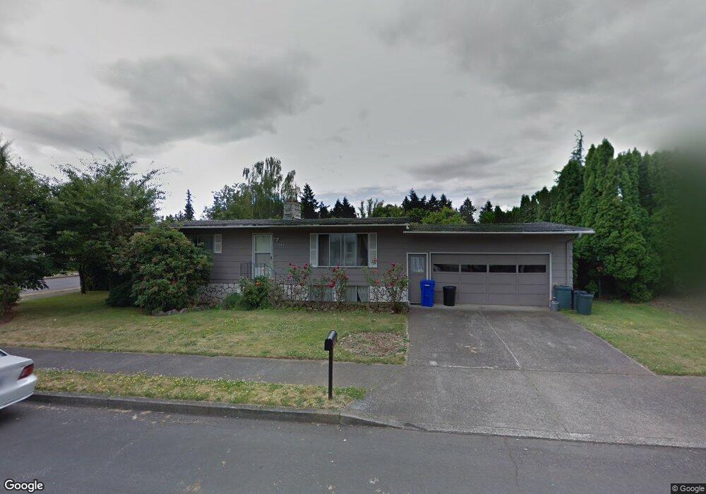
19444 NE Multnomah Ct Portland, OR 97230
North Gresham NeighborhoodEstimated Value: $438,000 - $500,000
4
Beds
2
Baths
2,080
Sq Ft
$232/Sq Ft
Est. Value
About This Home
This home is located at 19444 NE Multnomah Ct, Portland, OR 97230 and is currently estimated at $483,598, approximately $232 per square foot. 19444 NE Multnomah Ct is a home located in Multnomah County with nearby schools including Salish Ponds Elementary School, Reynolds Middle School, and Reynolds High School.
Ownership History
Date
Name
Owned For
Owner Type
Purchase Details
Closed on
Oct 9, 2023
Sold by
Auwae Allen I and Auwae Riva N
Bought by
Allen And Riva Auwae Family Trust and Auwae
Current Estimated Value
Purchase Details
Closed on
May 8, 2002
Sold by
Vitiritti Pasquale
Bought by
Auwae Allen I and Auwae Riva N
Home Financials for this Owner
Home Financials are based on the most recent Mortgage that was taken out on this home.
Original Mortgage
$149,940
Interest Rate
7.18%
Mortgage Type
VA
Create a Home Valuation Report for This Property
The Home Valuation Report is an in-depth analysis detailing your home's value as well as a comparison with similar homes in the area
Home Values in the Area
Average Home Value in this Area
Purchase History
| Date | Buyer | Sale Price | Title Company |
|---|---|---|---|
| Allen And Riva Auwae Family Trust | -- | None Listed On Document | |
| Auwae Allen I | $147,000 | Ticor Title Insurance Compan |
Source: Public Records
Mortgage History
| Date | Status | Borrower | Loan Amount |
|---|---|---|---|
| Previous Owner | Auwae Allen I | $149,940 |
Source: Public Records
Tax History Compared to Growth
Tax History
| Year | Tax Paid | Tax Assessment Tax Assessment Total Assessment is a certain percentage of the fair market value that is determined by local assessors to be the total taxable value of land and additions on the property. | Land | Improvement |
|---|---|---|---|---|
| 2024 | $4,527 | $242,080 | -- | -- |
| 2023 | $4,097 | $235,030 | $0 | $0 |
| 2022 | $3,995 | $228,190 | $0 | $0 |
| 2021 | $3,897 | $221,550 | $0 | $0 |
| 2020 | $3,646 | $215,100 | $0 | $0 |
| 2019 | $3,495 | $208,840 | $0 | $0 |
| 2018 | $3,459 | $202,760 | $0 | $0 |
| 2017 | $3,348 | $196,860 | $0 | $0 |
| 2016 | $3,202 | $191,130 | $0 | $0 |
| 2015 | $3,110 | $185,570 | $0 | $0 |
| 2014 | $3,005 | $180,170 | $0 | $0 |
Source: Public Records
Map
Nearby Homes
- 19130 NE Wasco Ct
- 19838 NE Wasco St
- 555 565 NE 195th Ave
- 635 NE 192nd Ave
- 515 NE 198th Ave
- 20147 NE Halsey St
- 18733 NE Glisan St
- 19748 NE Everett Ln
- 345 NE 188th Ave
- 21 NE 196th Ave
- 1267 NE 183rd Ave Unit 1273
- 18345 NE Glisan St
- 18345 NE Glisan St Unit 2
- 19027 NE Couch Ln
- 2202 NE 203rd Ave
- 2171 NE 207th Place
- 2150 NE 207th Place
- 18503 NE Couch St
- 1130 NE 178th Ave
- 407 SE 202nd Ave
- 19424 NE Multnomah Ct
- 1021 NE 195th Ave
- 19441 NE Multnomah Ct
- 19427 NE Hassalo St
- 1102 NE 195th Ave
- 19421 NE Multnomah Ct
- 1024 NE 195th Ave
- 1122 NE 195th Ave
- 19400 NE Multnomah Ct
- 19505 NE Hassalo St
- 19405 NE Hassalo St
- 1131 NE 195th Ave
- 1130 NE 195th Ave
- 1128 NE 194th Ct
- 19390 NE Multnomah Ct
- 1053 NE 196th Ave
- 19430 NE Hassalo St
- 1101 NE 196th Ave
- 1025 NE 196th Ave
- 19335 NE Hassalo St