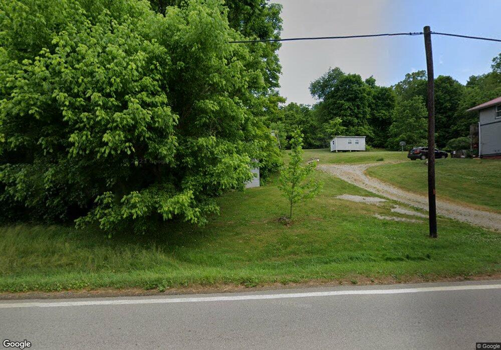
19445 State Route 550 Amesville, OH 45711
Estimated Value: $66,000 - $139,000
3
Beds
1
Bath
1,012
Sq Ft
$109/Sq Ft
Est. Value
About This Home
This home is located at 19445 State Route 550, Amesville, OH 45711 and is currently estimated at $110,796, approximately $109 per square foot. 19445 State Route 550 is a home located in Athens County with nearby schools including Amesville Elementary School, Coolville Elementary School, and Federal Hocking Middle School.
Ownership History
Date
Name
Owned For
Owner Type
Purchase Details
Closed on
Jun 29, 2004
Sold by
Mender Steven L
Bought by
Mender Steven L
Current Estimated Value
Purchase Details
Closed on
May 13, 1999
Sold by
Selzer Ron
Bought by
Mender Steven L
Purchase Details
Closed on
Jun 28, 1994
Sold by
Casto John W and Casto Trenice M
Bought by
Selzer Ron
Create a Home Valuation Report for This Property
The Home Valuation Report is an in-depth analysis detailing your home's value as well as a comparison with similar homes in the area
Home Values in the Area
Average Home Value in this Area
Purchase History
| Date | Buyer | Sale Price | Title Company |
|---|---|---|---|
| Mender Steven L | -- | -- | |
| Mender Steven L | $66,000 | -- | |
| Selzer Ron | $29,000 | -- |
Source: Public Records
Tax History Compared to Growth
Tax History
| Year | Tax Paid | Tax Assessment Tax Assessment Total Assessment is a certain percentage of the fair market value that is determined by local assessors to be the total taxable value of land and additions on the property. | Land | Improvement |
|---|---|---|---|---|
| 2024 | $1,315 | $29,330 | $8,570 | $20,760 |
| 2023 | $1,310 | $29,330 | $8,570 | $20,760 |
| 2022 | $1,261 | $27,350 | $7,140 | $20,210 |
| 2021 | $1,265 | $27,350 | $7,140 | $20,210 |
| 2020 | $1,226 | $27,350 | $7,140 | $20,210 |
| 2019 | $1,185 | $25,720 | $6,080 | $19,640 |
| 2018 | $1,178 | $25,720 | $6,080 | $19,640 |
| 2017 | $1,617 | $25,720 | $6,080 | $19,640 |
| 2016 | $1,086 | $23,110 | $5,530 | $17,580 |
| 2015 | $1,473 | $23,110 | $5,530 | $17,580 |
| 2014 | $1,473 | $23,110 | $5,530 | $17,580 |
| 2013 | $1,349 | $22,290 | $4,690 | $17,600 |
Source: Public Records
Map
Nearby Homes
- 15901 Lathrop Rd
- State Route 550
- 0 Ohio 550
- 16222 Hooper Ridge Rd
- 7600 Marion St
- 0 Ohio 555 Unit 5146049
- 22775 Mayle Ridge Rd
- 1022 Tullis Rd
- 14500 Wolfe Rd
- 2187 State Route 550
- 15750 Bryson Rd
- 14375 Hooper Ridge Rd
- 0 E Copeland Rd Unit 2434030
- 13647 Ohio 550
- 17777 Mush Run Rd
- 3205 Goshen Run Rd
- 12373 Swett Hollow Rd
- Lambert Rd
- 4000 C206
- 11933 State Route 550