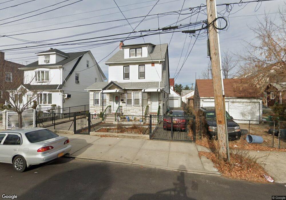
19447 112th Rd Unit 2 Saint Albans, NY 11412
Hollis NeighborhoodEstimated Value: $835,000 - $901,000
3
Beds
1
Bath
1,839
Sq Ft
$466/Sq Ft
Est. Value
About This Home
This home is located at 19447 112th Rd Unit 2, Saint Albans, NY 11412 and is currently estimated at $856,928, approximately $465 per square foot. 19447 112th Rd Unit 2 is a home located in Queens County with nearby schools including P.S. 118 Lorraine Hansberry, I.S. 192 The Linden, and True Deliverance Christian School.
Ownership History
Date
Name
Owned For
Owner Type
Purchase Details
Closed on
Sep 17, 2015
Sold by
Dejesus Munoz Velez Leonardo
Bought by
Raghunath Bibi
Current Estimated Value
Home Financials for this Owner
Home Financials are based on the most recent Mortgage that was taken out on this home.
Original Mortgage
$589,132
Outstanding Balance
$463,670
Interest Rate
3.97%
Estimated Equity
$393,258
Purchase Details
Closed on
Oct 29, 2013
Sold by
Jp Lincoln Llc
Bought by
Munoz Velez Leonardo De Jesus
Home Financials for this Owner
Home Financials are based on the most recent Mortgage that was taken out on this home.
Original Mortgage
$526,291
Interest Rate
4.24%
Mortgage Type
New Conventional
Purchase Details
Closed on
Feb 29, 2012
Sold by
Rosenblatt Lois
Bought by
Jp Lincoln Llc
Create a Home Valuation Report for This Property
The Home Valuation Report is an in-depth analysis detailing your home's value as well as a comparison with similar homes in the area
Home Values in the Area
Average Home Value in this Area
Purchase History
| Date | Buyer | Sale Price | Title Company |
|---|---|---|---|
| Raghunath Bibi | $600,000 | -- | |
| Munoz Velez Leonardo De Jesus | $536,000 | -- | |
| Jp Lincoln Llc | $278,000 | -- |
Source: Public Records
Mortgage History
| Date | Status | Borrower | Loan Amount |
|---|---|---|---|
| Open | Raghunath Bibi | $589,132 | |
| Previous Owner | Munoz Velez Leonardo De Jesus | $526,291 |
Source: Public Records
Tax History Compared to Growth
Tax History
| Year | Tax Paid | Tax Assessment Tax Assessment Total Assessment is a certain percentage of the fair market value that is determined by local assessors to be the total taxable value of land and additions on the property. | Land | Improvement |
|---|---|---|---|---|
| 2025 | $6,117 | $30,743 | $8,610 | $22,133 |
| 2024 | $6,117 | $30,455 | $8,013 | $22,442 |
| 2023 | $5,771 | $28,732 | $8,107 | $20,625 |
| 2022 | $5,414 | $43,800 | $13,560 | $30,240 |
| 2021 | $5,392 | $36,300 | $13,560 | $22,740 |
| 2020 | $5,423 | $36,780 | $13,560 | $23,220 |
| 2019 | $5,309 | $38,940 | $13,560 | $25,380 |
| 2018 | $4,881 | $23,943 | $10,152 | $13,791 |
| 2017 | $4,607 | $22,602 | $9,730 | $12,872 |
| 2016 | $4,268 | $22,602 | $9,730 | $12,872 |
| 2015 | $2,572 | $21,349 | $11,829 | $9,520 |
| 2014 | $2,572 | $21,150 | $14,044 | $7,106 |
Source: Public Records
Map
Nearby Homes
- 194-16 112th Ave
- 194-29 112th Ave
- 19432 113th Rd
- 194- 24 111th Rd
- 19445 Murdock Ave
- 19427 Murdock Ave
- 190-63 112th Ave
- 191-40 112th Rd
- 190-59 112th Ave
- 194-42 Murdock Ave
- 194-56 Murdock Ave
- 19431 114th Rd
- 113-40 198th St
- 112-28 199th St
- 11132 199th St
- 114-22 197th St
- 19404 110th Rd
- 19022 111th Rd
- 191-34 114th Rd
- 114-28 198th St
- 19447 112th Rd
- 19447 112th Rd
- 19443 112th Rd
- 112-16 196th St
- 112-20 196th St
- 19441 112th Rd
- 11220 196th St
- 11216 196th St
- 194-41 112th Rd
- 11212 196th St
- 19439 112th Rd
- 194-44 112 Ave
- 19448 112th Ave
- 19444 112th Ave
- 19435 112th Rd
- 11208 196th St
- 194-35 112th Rd
- 11228 196th St
- 112-28 196th St Unit 1FL
- 194-44 112th Ave