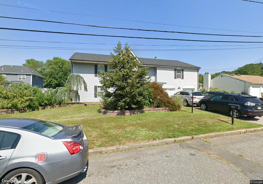
1945 7th St North Brunswick, NJ 08902
Estimated Value: $835,000 - $893,000
7
Beds
2
Baths
3,256
Sq Ft
$266/Sq Ft
Est. Value
About This Home
This home is located at 1945 7th St, North Brunswick, NJ 08902 and is currently estimated at $866,904, approximately $266 per square foot. 1945 7th St is a home located in Middlesex County with nearby schools including Arthur M. Judd Elementary School, Linwood Middle School, and North Brunswick Twp High School.
Ownership History
Date
Name
Owned For
Owner Type
Purchase Details
Closed on
May 28, 2020
Sold by
610 Hamilton Llc
Bought by
Gouda Lamlaa
Current Estimated Value
Home Financials for this Owner
Home Financials are based on the most recent Mortgage that was taken out on this home.
Original Mortgage
$500,000
Outstanding Balance
$398,782
Interest Rate
3.3%
Mortgage Type
Unknown
Estimated Equity
$468,122
Purchase Details
Closed on
Mar 7, 2012
Sold by
Bankunited
Bought by
610 Hamilton Llc
Purchase Details
Closed on
Oct 19, 2011
Sold by
Michalski Chester and Michalski Susan
Bought by
Bankunited
Create a Home Valuation Report for This Property
The Home Valuation Report is an in-depth analysis detailing your home's value as well as a comparison with similar homes in the area
Home Values in the Area
Average Home Value in this Area
Purchase History
| Date | Buyer | Sale Price | Title Company |
|---|---|---|---|
| Gouda Lamlaa | $550,000 | Chicago Title Insurance Co | |
| 610 Hamilton Llc | $226,000 | None Available | |
| Bankunited | -- | None Available |
Source: Public Records
Mortgage History
| Date | Status | Borrower | Loan Amount |
|---|---|---|---|
| Open | Gouda Lamlaa | $500,000 |
Source: Public Records
Tax History
| Year | Tax Paid | Tax Assessment Tax Assessment Total Assessment is a certain percentage of the fair market value that is determined by local assessors to be the total taxable value of land and additions on the property. | Land | Improvement |
|---|---|---|---|---|
| 2025 | $14,573 | $230,000 | $58,000 | $172,000 |
| 2024 | $14,311 | $230,000 | $58,000 | $172,000 |
| 2023 | $14,311 | $230,000 | $58,000 | $172,000 |
| 2022 | $13,823 | $230,000 | $58,000 | $172,000 |
| 2021 | $13,492 | $230,000 | $58,000 | $172,000 |
| 2020 | $13,308 | $230,000 | $58,000 | $172,000 |
| 2019 | $11,591 | $204,500 | $58,000 | $146,500 |
| 2018 | $11,354 | $204,500 | $58,000 | $146,500 |
| 2017 | $11,153 | $204,500 | $58,000 | $146,500 |
| 2016 | $10,920 | $204,500 | $58,000 | $146,500 |
Source: Public Records
Map
Nearby Homes
- 4116 Birchwood Ct
- 1301 Plymouth Rd
- 9 Wood Acres Dr
- 920 Plymouth Rd
- 919 Plymouth Rd
- 42 Springfield Rd
- 114 Jared Dr
- 93 Amy Dr
- 746 Spruce Rd
- 179 Salem Rd Unit 179
- 408 Old Georges Rd
- 1 Michael Ct
- 5 Peppermint Hill Rd
- 420 Church Ln
- 18 Sheffield Ct
- 46 Pin Oak Dr
- 26 Mare Haven Ct
- 138 Pennsylvania Way
- 61 Park Ave
- 18 Park Ave
Your Personal Tour Guide
Ask me questions while you tour the home.