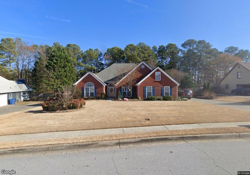
1945 Ashton Pointe Dr Unit 1 Dacula, GA 30019
Estimated Value: $408,023 - $429,000
3
Beds
3
Baths
2,424
Sq Ft
$174/Sq Ft
Est. Value
About This Home
This home is located at 1945 Ashton Pointe Dr Unit 1, Dacula, GA 30019 and is currently estimated at $421,256, approximately $173 per square foot. 1945 Ashton Pointe Dr Unit 1 is a home located in Gwinnett County with nearby schools including Fort Daniel Elementary School, Frank N. Osborne Middle School, and Mill Creek High School.
Ownership History
Date
Name
Owned For
Owner Type
Purchase Details
Closed on
Jul 27, 2006
Sold by
Buttram Nancy R
Bought by
Cooper Charles D and Cooper Cherri D
Current Estimated Value
Home Financials for this Owner
Home Financials are based on the most recent Mortgage that was taken out on this home.
Original Mortgage
$171,920
Outstanding Balance
$101,696
Interest Rate
6.68%
Mortgage Type
New Conventional
Estimated Equity
$319,560
Purchase Details
Closed on
Oct 31, 1995
Sold by
K A S Construction Co
Bought by
Buttram Nancy R
Create a Home Valuation Report for This Property
The Home Valuation Report is an in-depth analysis detailing your home's value as well as a comparison with similar homes in the area
Home Values in the Area
Average Home Value in this Area
Purchase History
| Date | Buyer | Sale Price | Title Company |
|---|---|---|---|
| Cooper Charles D | $214,900 | -- | |
| Buttram Nancy R | $140,900 | -- |
Source: Public Records
Mortgage History
| Date | Status | Borrower | Loan Amount |
|---|---|---|---|
| Open | Cooper Charles D | $171,920 | |
| Closed | Buttram Nancy R | $0 |
Source: Public Records
Tax History Compared to Growth
Tax History
| Year | Tax Paid | Tax Assessment Tax Assessment Total Assessment is a certain percentage of the fair market value that is determined by local assessors to be the total taxable value of land and additions on the property. | Land | Improvement |
|---|---|---|---|---|
| 2025 | $4,627 | $173,680 | $44,000 | $129,680 |
| 2024 | $3,298 | $101,440 | $22,400 | $79,040 |
| 2023 | $3,298 | $101,440 | $22,400 | $79,040 |
| 2022 | $3,256 | $101,440 | $22,400 | $79,040 |
| 2021 | $3,058 | $89,960 | $22,400 | $67,560 |
| 2020 | $3,077 | $89,960 | $22,400 | $67,560 |
| 2019 | $2,990 | $89,960 | $22,400 | $67,560 |
| 2018 | $2,991 | $89,960 | $22,400 | $67,560 |
| 2016 | $2,490 | $66,080 | $14,400 | $51,680 |
| 2015 | $2,514 | $66,080 | $14,400 | $51,680 |
| 2014 | -- | $66,080 | $14,400 | $51,680 |
Source: Public Records
Map
Nearby Homes
- 2985 Ashton Pointe Cir
- 2070 Trinity Mill Dr
- 2405 Millwater Crossing
- 2970 Waverly Place Dr
- 2455 Millwater Crossing
- 2955 Windsong Park Ln Unit 1
- 0 Hog Mountain Church Road and Auburn Rd
- 2585 Millwater Crossing
- 3177 Hog Mountain Rd
- 2996 Cambridge Hill Dr
- 2915 Dacula Oaks Dr Unit 1
- 3119 Tadmore Ct
- 1973 Hamilton Mill Pkwy
- 1615 Burnt Oak Way
- 2585 Braselton Hwy
- 2107 Town Manor Ct
- 2128 Town Manor Ct
- 1935 Ashton Pointe Dr
- 1955 Ashton Pointe Dr
- 1925 Ashton Pointe Dr
- 1965 Ashton Pointe Dr
- 3033 Hog Mountain Rd
- 3000 Ashton Pointe Cir Unit 1
- 1975 Ashton Pointe Dr Unit 1
- 1930 Ashton Pointe Dr
- 1970 Ashton Pointe Dr
- 2990 Ashton Pointe Cir Unit 1
- 3012 Hog Mountain Rd
- 1920 Ashton Pointe Dr
- 2020 Ashton Pointe Dr
- 3000 Callie Mill Dr
- 1985 Ashton Pointe Dr
- 3053 Hog Mountain Rd
- 2980 Ashton Point
- 2980 Ashton Pointe Cir Unit 1
- 2030 Ashton Pointe Dr
- 0 Ashton Pointe Cir Unit 7612495