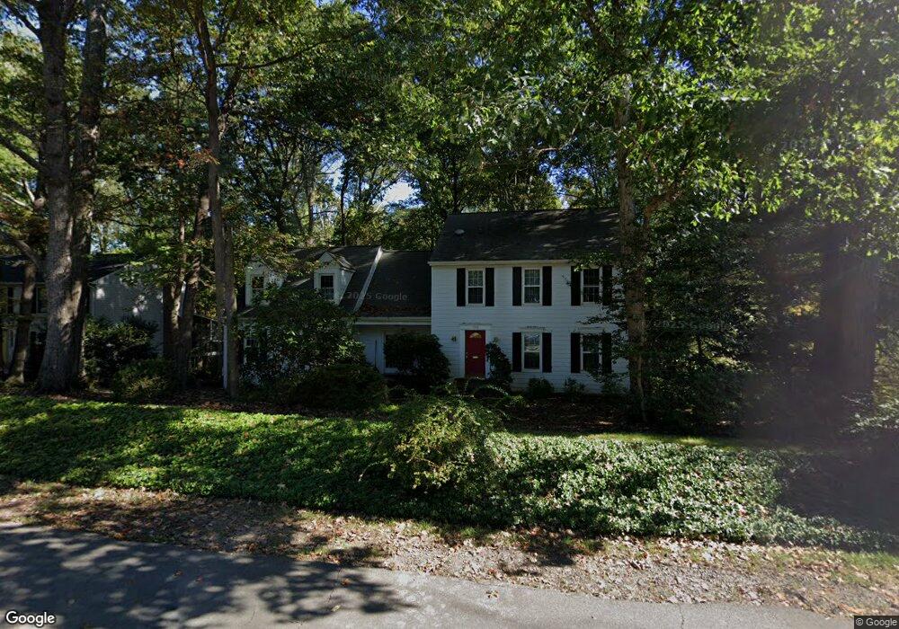
1945 Barton Hill Rd Reston, VA 20191
Estimated Value: $1,060,000 - $1,135,263
4
Beds
3
Baths
3,676
Sq Ft
$297/Sq Ft
Est. Value
About This Home
This home is located at 1945 Barton Hill Rd, Reston, VA 20191 and is currently estimated at $1,092,316, approximately $297 per square foot. 1945 Barton Hill Rd is a home located in Fairfax County with nearby schools including Sunrise Valley Elementary, Langston Hughes Middle School, and South Lakes High School.
Ownership History
Date
Name
Owned For
Owner Type
Purchase Details
Closed on
Jun 19, 1997
Sold by
Denett Paul Alfred
Bought by
Bessey Terrance L and Bessey Melissa A
Current Estimated Value
Home Financials for this Owner
Home Financials are based on the most recent Mortgage that was taken out on this home.
Original Mortgage
$252,000
Outstanding Balance
$35,719
Interest Rate
7.87%
Mortgage Type
New Conventional
Estimated Equity
$1,056,597
Create a Home Valuation Report for This Property
The Home Valuation Report is an in-depth analysis detailing your home's value as well as a comparison with similar homes in the area
Home Values in the Area
Average Home Value in this Area
Purchase History
| Date | Buyer | Sale Price | Title Company |
|---|---|---|---|
| Bessey Terrance L | $280,000 | -- |
Source: Public Records
Mortgage History
| Date | Status | Borrower | Loan Amount |
|---|---|---|---|
| Open | Bessey Terrance L | $252,000 |
Source: Public Records
Tax History
| Year | Tax Paid | Tax Assessment Tax Assessment Total Assessment is a certain percentage of the fair market value that is determined by local assessors to be the total taxable value of land and additions on the property. | Land | Improvement |
|---|---|---|---|---|
| 2025 | $11,454 | $1,026,410 | $364,000 | $662,410 |
| 2024 | $11,454 | $950,130 | $339,000 | $611,130 |
| 2023 | $10,053 | $855,180 | $319,000 | $536,180 |
| 2022 | $9,817 | $824,600 | $319,000 | $505,600 |
| 2021 | $9,820 | $804,600 | $299,000 | $505,600 |
| 2020 | $9,470 | $769,600 | $264,000 | $505,600 |
| 2019 | $9,807 | $797,020 | $264,000 | $533,020 |
| 2018 | $8,589 | $746,850 | $244,000 | $502,850 |
| 2017 | $8,615 | $713,200 | $225,000 | $488,200 |
| 2016 | $9,360 | $776,440 | $234,000 | $542,440 |
Source: Public Records
Map
Nearby Homes
- 10921 Harpers Square Ct
- 1951 Sagewood Ln Unit 619
- 11144 Beaver Trail Ct Unit 11144
- 11117 Little Compton Dr
- 11116 Beaver Trail Ct Unit 11116
- 11262 Harbor Ct Unit 11262
- 1953 Lakeport Way
- 10929 Howland Dr
- 1933 Lakeport Way
- 1840 Post Oak Trail
- 10900 Hunter Station Rd
- 2201 Nobehar Dr
- 2148 Whisperwood Glen Ln
- 2114 Whisperwood Glen Ln
- 10900 Sunset Hills Rd
- 2006 Headlands Cir
- 1857 Hunter Mill Rd
- 1870 Easterly Rd
- 10500 Coving Cross Ln
- 11236 Faraday Park Dr
- 1943 Barton Hill Rd
- 1947 Barton Hill Rd
- 1941 Barton Hill Rd
- 1949 Barton Hill Rd
- 1939 Barton Hill Rd
- 1946 Barton Hill Rd
- 1951 Barton Hill Rd
- 1948 Barton Hill Rd
- 1944 Barton Hill Rd
- 10903 Wilder Point Ln
- 1942 Barton Hill Rd
- 1950 Barton Hill Rd
- 1937 Barton Hill Rd
- 1953 Barton Hill Rd
- 1940 Barton Hill Rd
- 10907 Wilder Point Ln
- 1952 Barton Hill Rd
- 10902 Quimby Point Ln
- 10901 Wilder Point Ln
- 1938 Barton Hill Rd
Your Personal Tour Guide
Ask me questions while you tour the home.