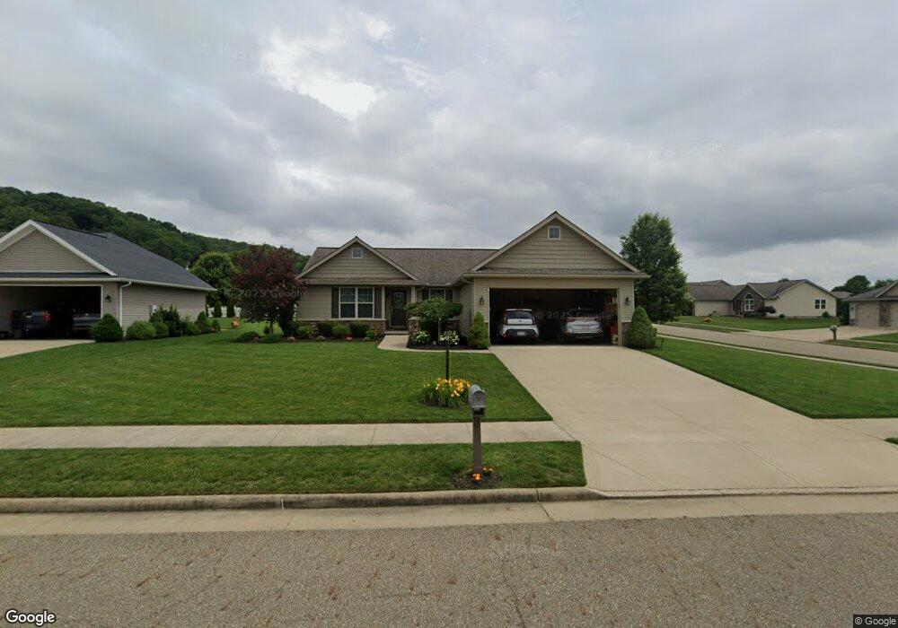
1945 Brookside Dr NE New Philadelphia, OH 44663
Estimated Value: $330,000 - $395,000
3
Beds
2
Baths
1,660
Sq Ft
$219/Sq Ft
Est. Value
About This Home
This home is located at 1945 Brookside Dr NE, New Philadelphia, OH 44663 and is currently estimated at $364,088, approximately $219 per square foot. 1945 Brookside Dr NE is a home with nearby schools including New Philadelphia High School, Quaker Preparatory Academy, and Quaker Digital Academy.
Ownership History
Date
Name
Owned For
Owner Type
Purchase Details
Closed on
Jul 31, 2015
Sold by
Schlabach Builders Ltd
Bought by
Morrison Kenneth D and Morrison Jami D
Current Estimated Value
Home Financials for this Owner
Home Financials are based on the most recent Mortgage that was taken out on this home.
Original Mortgage
$178,900
Outstanding Balance
$138,117
Interest Rate
3.5%
Mortgage Type
Adjustable Rate Mortgage/ARM
Estimated Equity
$225,971
Create a Home Valuation Report for This Property
The Home Valuation Report is an in-depth analysis detailing your home's value as well as a comparison with similar homes in the area
Home Values in the Area
Average Home Value in this Area
Purchase History
| Date | Buyer | Sale Price | Title Company |
|---|---|---|---|
| Morrison Kenneth D | $210,492 | None Available |
Source: Public Records
Mortgage History
| Date | Status | Borrower | Loan Amount |
|---|---|---|---|
| Open | Morrison Kenneth D | $178,900 |
Source: Public Records
Tax History Compared to Growth
Tax History
| Year | Tax Paid | Tax Assessment Tax Assessment Total Assessment is a certain percentage of the fair market value that is determined by local assessors to be the total taxable value of land and additions on the property. | Land | Improvement |
|---|---|---|---|---|
| 2024 | $3,501 | $90,972 | $13,167 | $77,805 |
| 2023 | $3,501 | $259,920 | $37,620 | $222,300 |
| 2022 | $3,522 | $90,972 | $13,167 | $77,805 |
| 2021 | $3,181 | $77,323 | $11,309 | $66,014 |
| 2020 | $3,198 | $77,323 | $11,309 | $66,014 |
| 2019 | $3,195 | $77,323 | $11,309 | $66,014 |
| 2018 | $2,949 | $65,570 | $9,880 | $55,690 |
| 2017 | $2,816 | $65,570 | $9,880 | $55,690 |
| 2016 | $2,886 | $65,570 | $9,880 | $55,690 |
| 2014 | $381 | $8,230 | $8,230 | $0 |
| 2013 | $314 | $8,230 | $8,230 | $0 |
Source: Public Records
Map
Nearby Homes
- 2006 Buckeye St NE
- 247 Kent Cir NE
- 221 Sea Gull Dr SE
- 0 Goshen Hill Rd SE
- 641 Crider Ave NE
- 1224 Goshen Ave SE
- 1273 Concord Cir SE
- 1892 Roxford St
- 231 4th St SE
- 451 Mill Ave SE
- 1451 Ridge Rd NE
- 2709 Backwater Rd SE
- 1354 Independence Cir SE
- 1577 State Route 39 NE
- 1149 Jefferson St SE
- 428 Kaserman Ave NE
- 1734 Barnhill Rd
- 1166 S Broadway St
- 239 E High Ave Unit A
- 4711 Broadway
- 12 Corral Dr NE
- 10 Corral Dr NE
- 8 Corral Dr NE
- 1937 Brookside Dr NE
- 122 Coral
- 520 Corral Dr NE
- 11 Corral Dr NE
- 9 Corral Dr NE
- 7 Corral Dr NE
- 0 Brookside Dr NE Unit 3457256
- 511 Corral Dr NE
- 0 Brookside Dr NE Unit 3860315
- 0 Brookside Dr NE Unit 3860312
- 0 Brookside Dr NE Unit 3859770
- 0 Brookside Dr NE Unit 3860307
- 0 Brookside Dr NE Unit 3860302
- 0 Brookside Dr NE Unit 3860297
- 0 Brookside Dr NE Unit 3457247
- 1929 Brookside Dr NE
- 1946 Brookside Dr NE