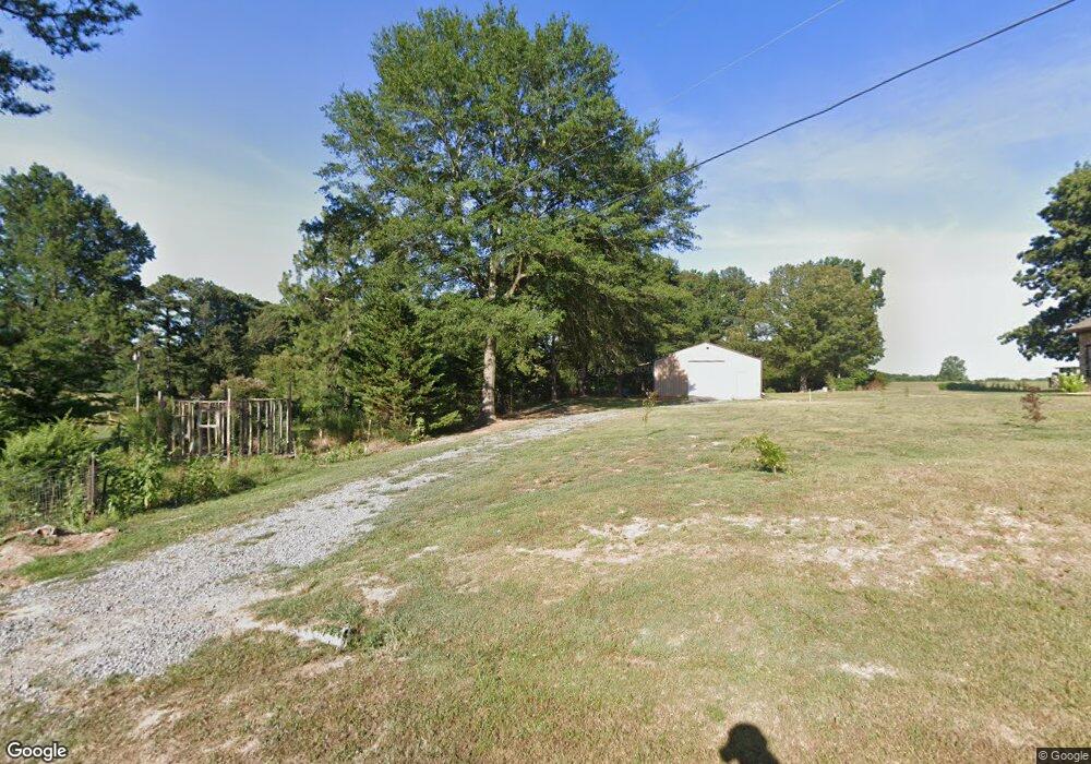
1945 Dailsdale Cullman, AL 35055
Estimated Value: $279,000 - $372,000
4
Beds
1
Bath
1,308
Sq Ft
$253/Sq Ft
Est. Value
About This Home
This home is located at 1945 Dailsdale, Cullman, AL 35055 and is currently estimated at $331,262, approximately $253 per square foot. 1945 Dailsdale is a home located in Cullman County with nearby schools including Cullman City Primary School, Cullman Middle School, and Cullman High School.
Ownership History
Date
Name
Owned For
Owner Type
Purchase Details
Closed on
Jan 13, 2023
Sold by
Paige Russell and Paige Alicia
Bought by
Sherrell Joseph and Sherrell Patrice
Current Estimated Value
Home Financials for this Owner
Home Financials are based on the most recent Mortgage that was taken out on this home.
Original Mortgage
$304,385
Outstanding Balance
$294,126
Interest Rate
6.31%
Mortgage Type
FHA
Estimated Equity
$37,136
Purchase Details
Closed on
Oct 17, 2017
Sold by
Country Property Llc
Bought by
Shutt William M and Shutt Taylor Lynn
Home Financials for this Owner
Home Financials are based on the most recent Mortgage that was taken out on this home.
Original Mortgage
$142,373
Interest Rate
3.82%
Mortgage Type
FHA
Create a Home Valuation Report for This Property
The Home Valuation Report is an in-depth analysis detailing your home's value as well as a comparison with similar homes in the area
Home Values in the Area
Average Home Value in this Area
Purchase History
| Date | Buyer | Sale Price | Title Company |
|---|---|---|---|
| Sherrell Joseph | $310,000 | -- | |
| Shutt William M | $145,000 | Tbx Title |
Source: Public Records
Mortgage History
| Date | Status | Borrower | Loan Amount |
|---|---|---|---|
| Open | Sherrell Joseph | $304,385 | |
| Previous Owner | Shutt William M | $142,373 |
Source: Public Records
Tax History Compared to Growth
Tax History
| Year | Tax Paid | Tax Assessment Tax Assessment Total Assessment is a certain percentage of the fair market value that is determined by local assessors to be the total taxable value of land and additions on the property. | Land | Improvement |
|---|---|---|---|---|
| 2025 | $961 | $26,140 | $0 | $0 |
| 2024 | $898 | $24,500 | $0 | $0 |
| 2023 | $898 | $23,600 | $0 | $0 |
| 2022 | $755 | $20,780 | $0 | $0 |
| 2021 | $659 | $18,280 | $0 | $0 |
| 2020 | $622 | $17,320 | $0 | $0 |
| 2019 | $615 | $17,140 | $0 | $0 |
| 2018 | $1,224 | $31,780 | $0 | $0 |
| 2017 | $1,100 | $28,580 | $0 | $0 |
| 2016 | $1,100 | $28,580 | $0 | $0 |
| 2014 | $529 | $14,920 | $0 | $0 |
Source: Public Records
Map
Nearby Homes
- 1941 Dialsdale Dr SW
- 2007 Adelshiem Cir SW
- 2036 Larry Ave SW
- 2106 Dialsdale Dr SW
- 4701 County Road 437 Unit Lot 3
- 4701 County Road 437 Unit Lot 2
- 4701 County Road 437
- 4701 County Road 437 Unit Lot 1
- 4701 County Road 437 Unit Lot 4
- 2113 Wren Ave SW
- .5 Acres County Road 437
- 1109 Swafford Rd SW
- 0 Miller St SW
- 911 Olive St SW
- 1113 James St SW
- 0 Lee Ave SW
- 1203 Morningside Dr SW
- 1310 Elm Dr SE
- 1407 Briarwood Dr SE
- 1417 Cottonwood Ln SE
- 1945 Dialsdale Dr SW
- 329 Swafford Rd SW
- 325 Swafford Rd SW
- 1937 Dialsdale Dr SW
- 1942 Dialsdale Dr SW
- 1946 Dialsdale Dr SW
- 1938 Dialsdale Dr SW
- 1948 Dialsdale Dr SW
- 232 Olive St SW
- 1933 Dialsdale Dr SW
- 326 Swafford Rd SW
- 330 Swafford Rd SW
- 1934 Dialsdale Dr SW
- 320 Swafford Rd SW
- 1929 Dialsdale Dr SW
- 1932 Dialsdale Dr SW
- O Hartwig Ln
- 316 Swafford Rd SW
- 2011 Dialsdale Dr SW
- 1930 Dialsdale Dr SW