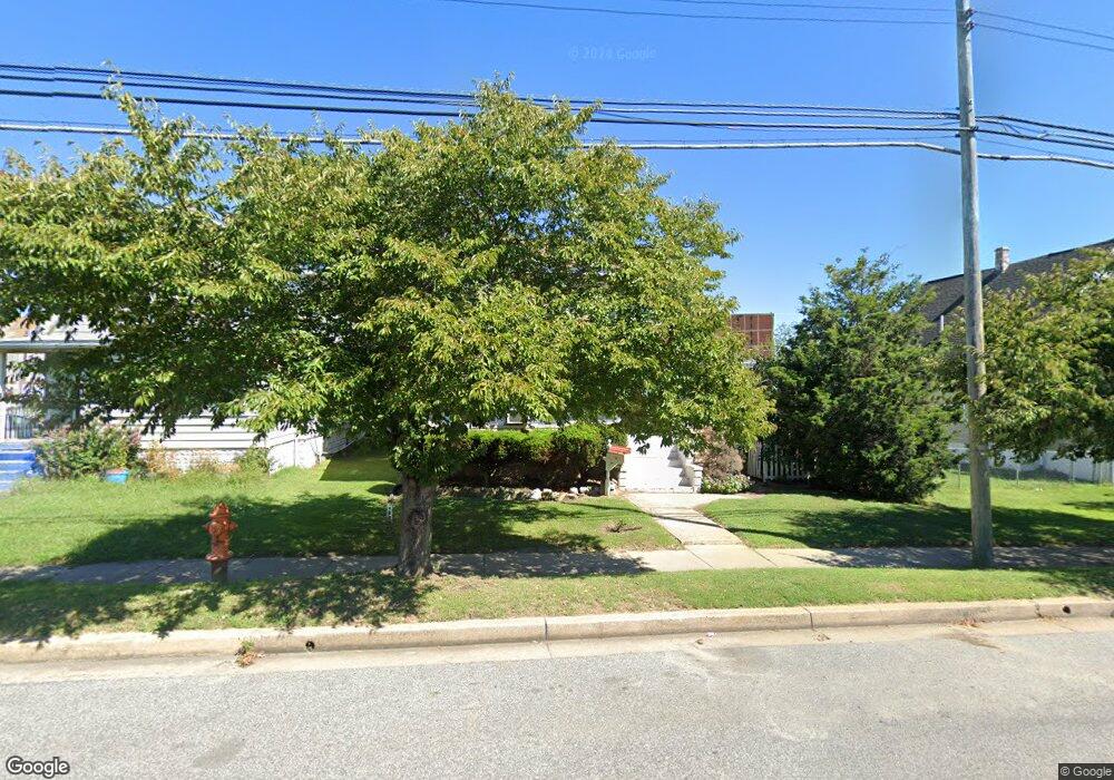
1945 Dundalk Ave Dundalk, MD 21222
Estimated Value: $300,000 - $353,126
4
Beds
2
Baths
2,032
Sq Ft
$159/Sq Ft
Est. Value
About This Home
This home is located at 1945 Dundalk Ave, Dundalk, MD 21222 and is currently estimated at $323,282, approximately $159 per square foot. 1945 Dundalk Ave is a home located in Baltimore County with nearby schools including Dundalk Elementary, Dundalk Middle School, and Dundalk High School.
Ownership History
Date
Name
Owned For
Owner Type
Purchase Details
Closed on
Jun 18, 2008
Sold by
Shifflett William M
Bought by
Rojas Caritino
Current Estimated Value
Home Financials for this Owner
Home Financials are based on the most recent Mortgage that was taken out on this home.
Original Mortgage
$224,213
Outstanding Balance
$144,317
Interest Rate
6.11%
Mortgage Type
Purchase Money Mortgage
Estimated Equity
$178,965
Purchase Details
Closed on
May 22, 2008
Sold by
Shifflett William M
Bought by
Rojas Caritino
Home Financials for this Owner
Home Financials are based on the most recent Mortgage that was taken out on this home.
Original Mortgage
$224,213
Outstanding Balance
$144,317
Interest Rate
6.11%
Mortgage Type
Purchase Money Mortgage
Estimated Equity
$178,965
Create a Home Valuation Report for This Property
The Home Valuation Report is an in-depth analysis detailing your home's value as well as a comparison with similar homes in the area
Home Values in the Area
Average Home Value in this Area
Purchase History
| Date | Buyer | Sale Price | Title Company |
|---|---|---|---|
| Rojas Caritino | $235,000 | -- | |
| Rojas Caritino | $235,000 | -- |
Source: Public Records
Mortgage History
| Date | Status | Borrower | Loan Amount |
|---|---|---|---|
| Open | Rojas Caritino | $224,213 | |
| Closed | Rojas Caritino | $224,213 |
Source: Public Records
Tax History Compared to Growth
Tax History
| Year | Tax Paid | Tax Assessment Tax Assessment Total Assessment is a certain percentage of the fair market value that is determined by local assessors to be the total taxable value of land and additions on the property. | Land | Improvement |
|---|---|---|---|---|
| 2025 | $4,231 | $249,233 | -- | -- |
| 2024 | $4,231 | $229,167 | $0 | $0 |
| 2023 | $1,978 | $209,100 | $50,000 | $159,100 |
| 2022 | $3,936 | $194,367 | $0 | $0 |
| 2021 | $3,604 | $179,633 | $0 | $0 |
| 2020 | $3,604 | $164,900 | $50,000 | $114,900 |
| 2019 | $3,352 | $160,567 | $0 | $0 |
| 2018 | $3,199 | $156,233 | $0 | $0 |
| 2017 | $3,030 | $151,900 | $0 | $0 |
| 2016 | $3,462 | $151,900 | $0 | $0 |
| 2015 | $3,462 | $151,900 | $0 | $0 |
| 2014 | $3,462 | $158,200 | $0 | $0 |
Source: Public Records
Map
Nearby Homes
- 6800 Crossway
- 1849 Portship Rd
- 6901 Ridgeway Rd
- 37 Liberty Pkwy
- 101 Willow Spring Rd
- 2493 Fairway
- 86 Kinship Rd
- 16 Portship Rd
- 70 N Dundalk Ave
- 7103 Holabird Ave
- 6740 Brentwood Ave
- 2529 Liberty Pkwy
- 2527 Liberty Pkwy
- 213 Colgate Ave
- 1901 Four Roses St
- 7113 Foundry St
- 6513 Cleveland Ave
- 41 Township Rd
- 1901 Tolson Ave
- 32 Township Rd
- 1943 Dundalk Ave
- 2005 Dundalk Ave
- 1941 Dundalk Ave
- 2011 Dundalk Ave
- 1939 Dundalk Ave
- 2013 Dundalk Ave
- 1950 Maxwell Ave
- 2015 Dundalk Ave
- 2017 Dundalk Ave
- 1935 Dundalk Ave
- 1920 Queensway
- 1922 Queensway
- 2019 Dundalk Ave
- 1916 Queensway
- 1924 Queensway
- 1944 Maxwell Ave
- 2021 Dundalk Ave
- 1933 Dundalk Ave
- 1914 Queensway