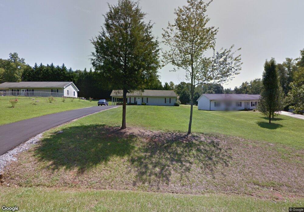
1945 Eastbrook Cir Morganton, NC 28655
Estimated Value: $218,756 - $247,000
About This Home
This home is located at 1945 Eastbrook Cir, Morganton, NC 28655 and is currently estimated at $232,689, approximately $188 per square foot. 1945 Eastbrook Cir is a home located in Burke County with nearby schools including Drexel Elementary School, Heritage Middle School, and Jimmy C. Draughn High School.
Ownership History
We collect this data history from publicly available records. To have your information removed, we recommend requesting removal directly through your county’s website.
Purchase Details
Home Financials for this Owner
Home Financials are based on the most recent Mortgage that was taken out on this home.Home Values in the Area
Average Home Value in this Area
Purchase History
We collect this data history from publicly available records. To have your information removed, we recommend requesting removal directly through your county’s website.
| Date | Buyer | Sale Price | Title Company |
|---|---|---|---|
| $84,500 | None Available |
Mortgage History
We collect this data history from publicly available records. To have your information removed, we recommend requesting removal directly through your county’s website.
| Date | Status | Borrower | Loan Amount |
|---|---|---|---|
| Open | $67,600 |
Tax History
We collect this data history from publicly available records. To have your information removed, we recommend requesting removal directly through your county’s website.
| Year | Tax Paid | Tax Assessment Tax Assessment Total Assessment is a certain percentage of the fair market value that is determined by local assessors to be the total taxable value of land and additions on the property. | Land | Improvement |
|---|---|---|---|---|
| 2025 | $1,069 | $149,109 | $15,015 | $134,094 |
| 2024 | $1,072 | $149,109 | $15,015 | $134,094 |
| 2023 | $1,072 | $149,109 | $15,015 | $134,094 |
| 2022 | $842 | $98,256 | $13,650 | $84,606 |
| 2021 | $836 | $98,256 | $13,650 | $84,606 |
| 2020 | $832 | $98,256 | $13,650 | $84,606 |
| 2019 | $832 | $98,256 | $13,650 | $84,606 |
| 2018 | $771 | $92,430 | $13,650 | $78,780 |
| 2017 | $766 | $92,430 | $13,650 | $78,780 |
| 2016 | $766 | $92,430 | $13,650 | $78,780 |
| 2015 | $763 | $92,430 | $13,650 | $78,780 |
| 2014 | $761 | $92,430 | $13,650 | $78,780 |
| 2013 | $761 | $92,430 | $13,650 | $78,780 |
Map
- 1919 Highway 70 E
- 2169 E Winds Ave
- 103 New Orleans Blvd
- 111 Old Hickory Dr
- 232 Westwood Dr
- 306 New Orleans Blvd
- 0 Amherst Rd Unit Lot 1
- 0 Amherst Rd
- 2881 Highline Ave
- 2290 U S 70
- 976 Amherst Rd
- 00 Amherst Rd Unit Lot 2
- 104 Laurelwood Dr
- 2431 Burke Memorial Park Rd
- 1401 E Union St
- 0 Buford Dr
- 1307 E Union St
- 2715 Moose Lodge St
- 3195 Westview St
- 2269 Drexel Heights St
- 1965 Eastbrook Cir
- 1935 Eastbrook Cir
- 1955 Eastbrook Cir
- 1921 Eastbrook Cir Unit 22
- 1885 Eastbrook Cir
- 1940 Eastbrook Cir
- 1932 Eastbrook Cir
- 1845 Eastbrook Cir
- 1960 Wall St
- 1880 Eastbrook Cir
- 1950 Wall St
- 1980 Wall St
- 1876 Wall St
- 1961 Wall St
- 2000 Eastbrook Cir
- 1990 Wall St
- 1862 Wall St
- 2005 Eastbrook Cir
- 1906 Eastbrook Cir
- 2010 Eastbrook Cir
Ask me questions while you tour the home.