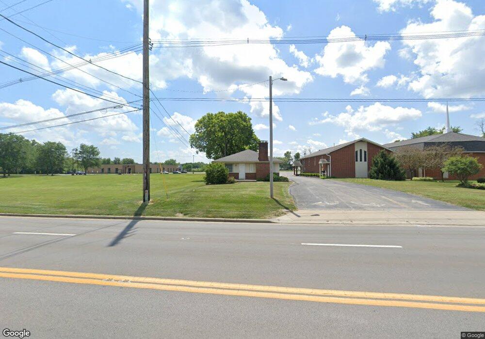
1945 Frank Rd Columbus, OH 43223
Estimated Value: $928,000 - $1,626,914
10
Beds
5
Baths
3,830
Sq Ft
$334/Sq Ft
Est. Value
About This Home
This home is located at 1945 Frank Rd, Columbus, OH 43223 and is currently estimated at $1,277,457, approximately $333 per square foot. 1945 Frank Rd is a home located in Franklin County with nearby schools including James A Harmon Elementary School, Franklin Woods Intermediate School, and Finland Middle School.
Ownership History
Date
Name
Owned For
Owner Type
Purchase Details
Closed on
Sep 26, 2003
Sold by
New Frank Road Community Church
Bought by
The Central Baptist Church Of Columbus
Current Estimated Value
Home Financials for this Owner
Home Financials are based on the most recent Mortgage that was taken out on this home.
Original Mortgage
$465,000
Outstanding Balance
$218,781
Interest Rate
6.33%
Mortgage Type
Commercial
Estimated Equity
$1,058,676
Purchase Details
Closed on
Aug 19, 2002
Sold by
Frank Road Church Of The Nazarene Inc
Bought by
New Frank Road Community Church Inc
Create a Home Valuation Report for This Property
The Home Valuation Report is an in-depth analysis detailing your home's value as well as a comparison with similar homes in the area
Home Values in the Area
Average Home Value in this Area
Purchase History
| Date | Buyer | Sale Price | Title Company |
|---|---|---|---|
| The Central Baptist Church Of Columbus | $475,000 | Hummel Title Agency Inc | |
| New Frank Road Community Church Inc | -- | -- |
Source: Public Records
Mortgage History
| Date | Status | Borrower | Loan Amount |
|---|---|---|---|
| Open | The Central Baptist Church Of Columbus | $465,000 |
Source: Public Records
Tax History Compared to Growth
Tax History
| Year | Tax Paid | Tax Assessment Tax Assessment Total Assessment is a certain percentage of the fair market value that is determined by local assessors to be the total taxable value of land and additions on the property. | Land | Improvement |
|---|---|---|---|---|
| 2024 | $5,052 | $618,220 | $111,100 | $507,120 |
| 2023 | $5,177 | $618,220 | $111,100 | $507,120 |
| 2022 | $8,152 | $622,770 | $77,740 | $545,030 |
| 2021 | $7,755 | $622,770 | $77,740 | $545,030 |
| 2020 | $7,744 | $622,770 | $77,740 | $545,030 |
| 2019 | $7,197 | $518,990 | $64,790 | $454,200 |
| 2018 | $6,529 | $518,990 | $64,790 | $454,200 |
| 2017 | $6,732 | $518,990 | $64,790 | $454,200 |
| 2016 | $6,329 | $428,480 | $83,340 | $345,140 |
| 2015 | $5,888 | $428,480 | $83,340 | $345,140 |
| 2014 | $5,891 | $428,480 | $83,340 | $345,140 |
| 2013 | $4,133 | $105,560 | $37,100 | $68,460 |
Source: Public Records
Map
Nearby Homes
- 1948 Big Run Bluffs Blvd
- 1949 Big Run Bluffs Blvd
- 1543 Red Leaf Ln
- 4745 Big Run Rd E
- 2210 October Ridge Dr
- 0 S Central Ave
- 1417 Fahy Dr
- 2436 Onyx Ct
- 1390 Gray Meadow Dr
- 1723 Farberdale Dr
- 2103 Keller Place W
- 2242 Topaz Dr
- 2272 Anndel Ct
- 2272 Topaz Dr
- 2195 Big Run Ave
- 2154 Drumlin Dr
- 2365 Creek View Place
- 1994 Little Ave
- 2336 Woodbrook Cir N Unit 92 B
- 2255 Harrisburg Pike
- 1955 Frank Rd
- 1965 Frank Rd
- 1975 Frank Rd
- 1948 Frank Rd Unit 950
- 1958 Frank Rd Unit 960
- 1950 Frank Rd
- 1995 Frank Rd
- 1938 Frank Rd
- 1968 Frank Rd Unit 970
- 1930 Frank Rd Unit 1932
- 1985 Frank Rd
- 1980 Frank Rd Unit 978
- 1943 Westfield Dr S Unit 945
- 1951-1953 Westfield Dr S
- 1951 Westfield Dr S Unit 1953
- 1933 Westfield Dr S
- 1961 Westfield Dr S Unit 963
- 1918 Frank Rd Unit 1920
- 1918 Frank Rd
- 1971 Westfield Dr S