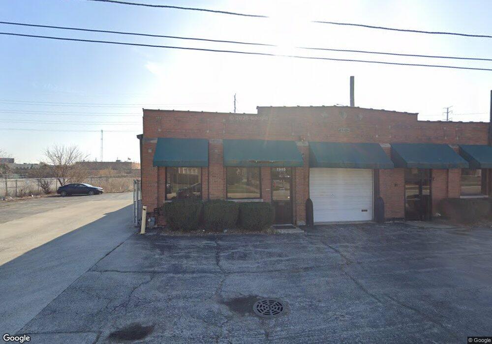
1945 Gardner Rd Broadview, IL 60155
--
Bed
--
Bath
--
Sq Ft
0.32
Acres
About This Home
This home is located at 1945 Gardner Rd, Broadview, IL 60155. 1945 Gardner Rd is a home located in Cook County with nearby schools including Westchester Primary School, Westchester Intermediate School, and Westchester Middle School.
Ownership History
Date
Name
Owned For
Owner Type
Purchase Details
Closed on
Nov 29, 2016
Sold by
Desantis Laura
Bought by
1945 Gardner Road Llc
Home Financials for this Owner
Home Financials are based on the most recent Mortgage that was taken out on this home.
Original Mortgage
$277,500
Outstanding Balance
$226,933
Interest Rate
3.94%
Mortgage Type
Credit Line Revolving
Purchase Details
Closed on
Jun 17, 2010
Sold by
Desantis Frank and Desantis Laura
Bought by
Desantis Laura and Laura Desantis Trust
Purchase Details
Closed on
Oct 7, 2002
Sold by
Desantis Frank and Desantis Laura
Bought by
Desantis Frank and Desantis Laura E
Purchase Details
Closed on
May 28, 1998
Sold by
Continental Community Bank & Trust Co
Bought by
West Suburban Bank and Trust #10709
Home Financials for this Owner
Home Financials are based on the most recent Mortgage that was taken out on this home.
Original Mortgage
$310,000
Interest Rate
7.27%
Mortgage Type
Commercial
Create a Home Valuation Report for This Property
The Home Valuation Report is an in-depth analysis detailing your home's value as well as a comparison with similar homes in the area
Home Values in the Area
Average Home Value in this Area
Purchase History
| Date | Buyer | Sale Price | Title Company |
|---|---|---|---|
| 1945 Gardner Road Llc | $418,000 | Old Republic Title | |
| Desantis Laura | -- | None Available | |
| Desantis Frank | -- | -- | |
| West Suburban Bank | $334,000 | -- |
Source: Public Records
Mortgage History
| Date | Status | Borrower | Loan Amount |
|---|---|---|---|
| Open | 1945 Gardner Road Llc | $277,500 | |
| Previous Owner | West Suburban Bank | $310,000 |
Source: Public Records
Tax History Compared to Growth
Tax History
| Year | Tax Paid | Tax Assessment Tax Assessment Total Assessment is a certain percentage of the fair market value that is determined by local assessors to be the total taxable value of land and additions on the property. | Land | Improvement |
|---|---|---|---|---|
| 2024 | $21,238 | $73,799 | $28,000 | $45,799 |
| 2023 | $23,971 | $73,799 | $28,000 | $45,799 |
| 2022 | $23,971 | $69,423 | $24,500 | $44,923 |
| 2021 | $23,026 | $69,422 | $24,500 | $44,922 |
| 2020 | $22,380 | $69,422 | $24,500 | $44,922 |
| 2019 | $22,498 | $65,836 | $20,125 | $45,711 |
| 2018 | $21,864 | $65,836 | $20,125 | $45,711 |
| 2017 | $21,573 | $65,836 | $20,125 | $45,711 |
| 2016 | $16,750 | $48,052 | $18,375 | $29,677 |
| 2015 | $16,577 | $48,052 | $18,375 | $29,677 |
| 2014 | $16,174 | $48,052 | $18,375 | $29,677 |
| 2013 | $14,867 | $49,046 | $18,375 | $30,671 |
Source: Public Records
Map
Nearby Homes
- 750 Bristol Ave
- 923 Manchester Ave
- 805 Norfolk Ave
- 814 Norfolk Ave
- 626 Manchester Ave
- 920 Suffolk Ave
- 2003 S 24th Ave
- 1108 31st Ave
- 1102 31st Ave
- 1910 S 22nd Ave
- 1119 Newcastle Ave
- 1034 31st Ave
- 1909 S 22nd Ave
- 1016 Hull Ave
- 10072 Drury Ln
- 1022 Eastern Ave
- 1023 Rice Ave
- 2237 S 22nd Ave
- 1909 S 20th Ave
- 1433 Bristol Ave