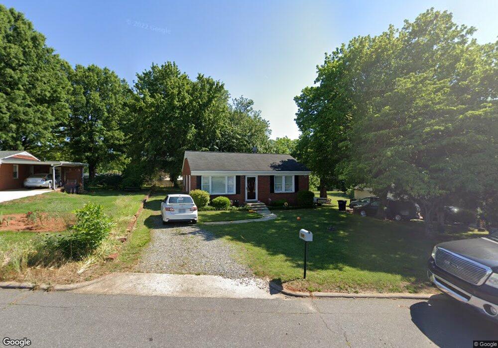
1945 Guy St Statesville, NC 28677
Estimated Value: $139,252 - $186,000
2
Beds
1
Bath
884
Sq Ft
$176/Sq Ft
Est. Value
About This Home
This home is located at 1945 Guy St, Statesville, NC 28677 and is currently estimated at $155,563, approximately $175 per square foot. 1945 Guy St is a home located in Iredell County with nearby schools including N.B. Mills Elementary School, West Iredell Middle School, and West Iredell High School.
Ownership History
Date
Name
Owned For
Owner Type
Purchase Details
Closed on
Oct 28, 2021
Sold by
Fisher Amy and Fisher Michael
Bought by
Maydeal Properties Llc
Current Estimated Value
Purchase Details
Closed on
Feb 21, 2007
Sold by
Hud
Bought by
Cook Amy N
Home Financials for this Owner
Home Financials are based on the most recent Mortgage that was taken out on this home.
Original Mortgage
$41,072
Interest Rate
6.17%
Mortgage Type
Purchase Money Mortgage
Purchase Details
Closed on
Nov 2, 2006
Sold by
Smyre Cedric M and Smyre Lori C
Bought by
Hud
Purchase Details
Closed on
May 1, 1992
Purchase Details
Closed on
Apr 1, 1989
Purchase Details
Closed on
Dec 1, 1985
Create a Home Valuation Report for This Property
The Home Valuation Report is an in-depth analysis detailing your home's value as well as a comparison with similar homes in the area
Home Values in the Area
Average Home Value in this Area
Purchase History
| Date | Buyer | Sale Price | Title Company |
|---|---|---|---|
| Maydeal Properties Llc | $102,500 | None Available | |
| Cook Amy N | -- | None Available | |
| Hud | $44,502 | None Available | |
| -- | $34,000 | -- | |
| -- | $32,000 | -- | |
| -- | -- | -- |
Source: Public Records
Mortgage History
| Date | Status | Borrower | Loan Amount |
|---|---|---|---|
| Previous Owner | Cook Amy N | $41,072 |
Source: Public Records
Tax History Compared to Growth
Tax History
| Year | Tax Paid | Tax Assessment Tax Assessment Total Assessment is a certain percentage of the fair market value that is determined by local assessors to be the total taxable value of land and additions on the property. | Land | Improvement |
|---|---|---|---|---|
| 2024 | $1,198 | $105,230 | $14,000 | $91,230 |
| 2023 | $1,131 | $105,230 | $14,000 | $91,230 |
| 2022 | $767 | $59,660 | $10,000 | $49,660 |
| 2021 | $823 | $59,660 | $10,000 | $49,660 |
| 2020 | $823 | $59,660 | $10,000 | $49,660 |
| 2019 | $818 | $59,660 | $10,000 | $49,660 |
| 2018 | $667 | $49,030 | $8,000 | $41,030 |
| 2017 | $656 | $49,030 | $8,000 | $41,030 |
| 2016 | $656 | $49,030 | $8,000 | $41,030 |
| 2015 | $512 | $49,030 | $8,000 | $41,030 |
| 2014 | $517 | $51,910 | $8,000 | $43,910 |
Source: Public Records
Map
Nearby Homes
- 1713 Forest Dr
- 2321 Cline St
- 50 S Miller Ave Unit A
- 50 S Miller Ave Unit B
- 328 N Miller Ave
- 1716 Younger Ave
- 417 Central Dr
- 407 Central Dr
- 214 H St
- 2607 Moss Rd
- 127 Bristol Rd
- 1709 Younger Ave
- 541 Hedrick Dr
- 612 Stewart Ct
- 1261 Elizabeth Ave
- 1245 Mitchell Ave
- 440 N Oakland Ave
- 3 Williams Ave
- Robie Plan at Bristol Terrace
- Penwell Plan at Bristol Terrace