Estimated Value: $713,000 - $736,000
3
Beds
3
Baths
3,336
Sq Ft
$216/Sq Ft
Est. Value
About This Home
This home is located at 1945 High Meadow S Unit 36, Niles, MI 49120 and is currently estimated at $722,129, approximately $216 per square foot. 1945 High Meadow S Unit 36 is a home located in Berrien County with nearby schools including Merritt Elementary School, Brandywine Elementary School, and Brandywine Middle School.
Ownership History
Date
Name
Owned For
Owner Type
Purchase Details
Closed on
Jan 9, 2023
Sold by
Steinmetz Keith and Steinmetz Therese
Bought by
Steinmetz Joint Trust
Current Estimated Value
Purchase Details
Closed on
May 27, 2009
Sold by
Fassler Alan M and Fassler Linda S
Bought by
Steinmetz Keith and Steinmetz Therese
Home Financials for this Owner
Home Financials are based on the most recent Mortgage that was taken out on this home.
Original Mortgage
$328,000
Interest Rate
4.84%
Mortgage Type
Purchase Money Mortgage
Purchase Details
Closed on
Dec 10, 2002
Sold by
Stonecreek Llc
Bought by
Fassler Alan M and Fassler Linda S
Create a Home Valuation Report for This Property
The Home Valuation Report is an in-depth analysis detailing your home's value as well as a comparison with similar homes in the area
Home Values in the Area
Average Home Value in this Area
Purchase History
| Date | Buyer | Sale Price | Title Company |
|---|---|---|---|
| Steinmetz Joint Trust | -- | -- | |
| Steinmetz Keith | $410,000 | Metropolitan Title | |
| Fassler Alan M | $54,000 | -- |
Source: Public Records
Mortgage History
| Date | Status | Borrower | Loan Amount |
|---|---|---|---|
| Previous Owner | Steinmetz Keith | $328,000 |
Source: Public Records
Tax History Compared to Growth
Tax History
| Year | Tax Paid | Tax Assessment Tax Assessment Total Assessment is a certain percentage of the fair market value that is determined by local assessors to be the total taxable value of land and additions on the property. | Land | Improvement |
|---|---|---|---|---|
| 2025 | $5,671 | $338,500 | $0 | $0 |
| 2024 | $3,060 | $327,500 | $0 | $0 |
| 2023 | $2,914 | $284,300 | $0 | $0 |
| 2022 | $2,776 | $238,200 | $0 | $0 |
| 2021 | $4,990 | $228,800 | $32,600 | $196,200 |
| 2020 | $4,977 | $233,200 | $0 | $0 |
| 2019 | $4,885 | $196,900 | $29,000 | $167,900 |
| 2018 | $4,790 | $196,900 | $0 | $0 |
| 2017 | $4,738 | $194,400 | $0 | $0 |
| 2016 | $4,658 | $224,500 | $0 | $0 |
| 2015 | $4,459 | $221,200 | $0 | $0 |
| 2014 | $1,999 | $196,000 | $0 | $0 |
Source: Public Records
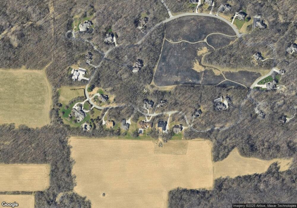
Map
Nearby Homes
- 1860 High Meadow N
- Lot 4 Persimmon Dr Unit 4
- 21540 Ravenna Dr
- 2975 Portage Rd
- 50890 Summit Ridge Trail Unit 45
- 22264 Barking Deer Run
- 50910 Summit Ridge Trail Unit 44
- 50931 Birch Dr Unit 1 & 2
- 50931 Birch Dr Unit 2
- 1245 Woodland Ave
- Lot 1 Forest Lake Trail Unit 1
- 1240 Chapelgate Rd
- 21533 Golden Maple Ct
- 21380 Kroft Dr
- 21610 Golden Maple Ct
- 50632 K Jay Ln
- 51429 Outer Dr
- 21654 Moyer Dr Unit 69
- 21578 Moyer Dr Unit 29
- 21558 Moyer Dr Unit 30
- 1945 High Meadow S
- 1905 High Meadow S
- 1905 High Meadow S Unit 29
- 1985 High Meadow S Unit 37
- 1985 High Meadow S
- 1920 High Meadow S Unit 32
- 1920 High Meadow S
- 1865 High Meadow S
- 1960 High Meadow S Unit 33
- 1880 High Meadow S
- 2240 High Meadow S
- 1840 High Meadow S
- 1840 High Meadow S Unit 30
- 2000 High Meadow S Unit 34
- 2025 High Meadow S
- 2065 High Meadow S
- 1825 High Meadow S
- 1825 High Meadow S Unit 27
- 2080 High Meadow S
- 1785 High Meadow S