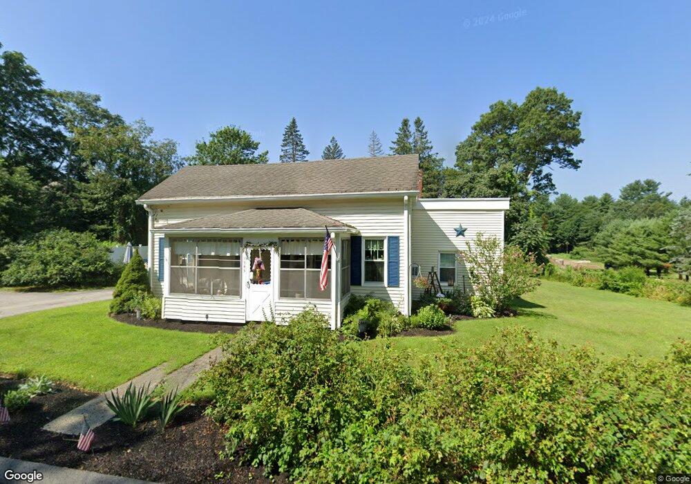
1945 Hill St Northbridge, MA 01534
Estimated Value: $403,731 - $446,000
3
Beds
1
Bath
1,126
Sq Ft
$382/Sq Ft
Est. Value
About This Home
This home is located at 1945 Hill St, Northbridge, MA 01534 and is currently estimated at $429,683, approximately $381 per square foot. 1945 Hill St is a home located in Worcester County with nearby schools including Northbridge Elementary School, Northbridge Middle School, and Northbridge High School.
Ownership History
Date
Name
Owned For
Owner Type
Purchase Details
Closed on
Dec 1, 2000
Sold by
Est Manyak Albert J and Manyak Gary R
Bought by
Grenier Gloria J
Current Estimated Value
Home Financials for this Owner
Home Financials are based on the most recent Mortgage that was taken out on this home.
Original Mortgage
$112,000
Interest Rate
7.76%
Mortgage Type
Purchase Money Mortgage
Create a Home Valuation Report for This Property
The Home Valuation Report is an in-depth analysis detailing your home's value as well as a comparison with similar homes in the area
Home Values in the Area
Average Home Value in this Area
Purchase History
| Date | Buyer | Sale Price | Title Company |
|---|---|---|---|
| Grenier Gloria J | $140,000 | -- | |
| Grenier Gloria J | $140,000 | -- |
Source: Public Records
Mortgage History
| Date | Status | Borrower | Loan Amount |
|---|---|---|---|
| Open | Grenier Gloria J | $142,000 | |
| Closed | Grenier Gloria J | $142,000 | |
| Closed | Grenier Gloria J | $112,000 |
Source: Public Records
Tax History Compared to Growth
Tax History
| Year | Tax Paid | Tax Assessment Tax Assessment Total Assessment is a certain percentage of the fair market value that is determined by local assessors to be the total taxable value of land and additions on the property. | Land | Improvement |
|---|---|---|---|---|
| 2025 | $3,795 | $321,900 | $141,000 | $180,900 |
| 2024 | $3,581 | $296,200 | $141,000 | $155,200 |
| 2023 | $3,732 | $288,000 | $141,000 | $147,000 |
| 2022 | $3,378 | $245,300 | $108,400 | $136,900 |
| 2021 | $3,221 | $222,300 | $103,200 | $119,100 |
| 2020 | $1,567 | $217,200 | $103,200 | $114,000 |
| 2019 | $2,713 | $209,200 | $103,200 | $106,000 |
| 2018 | $0 | $199,300 | $98,300 | $101,000 |
| 2017 | $2,595 | $191,800 | $98,300 | $93,500 |
| 2016 | $2,443 | $177,700 | $89,300 | $88,400 |
| 2015 | $2,378 | $177,700 | $89,300 | $88,400 |
| 2014 | $2,356 | $177,700 | $89,300 | $88,400 |
Source: Public Records
Map
Nearby Homes
- 102 Kennedy Cir
- 150 Sprague St
- 614-616 Sutton St
- 191 Hartness Rd
- 25 Poplar St
- 12 Central Turnpike
- 86 Mikes Way Unit 86
- 84 Mikes Way Unit 84
- 7 Central Turnpike
- 395 Providence Rd Unit 4
- 104 Alana Dr
- 9 Brookside Dr
- 19 Milford Rd
- 4 Greenlawn Ave
- 2 Lindsey Ln Unit 2
- 331 Cooper Rd
- 81 Dodge Rd
- 55 Fisherville Terrace
- 44 Fisherville Terrace
- 51 Fisherville Terrace