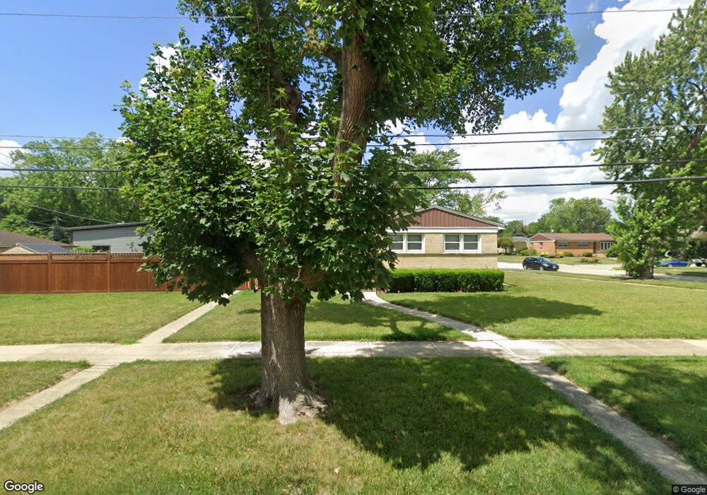
1945 Laura Ln Des Plaines, IL 60018
Estimated Value: $348,000 - $407,000
3
Beds
1
Bath
1,169
Sq Ft
$327/Sq Ft
Est. Value
About This Home
This home is located at 1945 Laura Ln, Des Plaines, IL 60018 and is currently estimated at $382,266, approximately $327 per square foot. 1945 Laura Ln is a home located in Cook County with nearby schools including Orchard Place Elementary School, Algonquin Middle School, and Maine West High School.
Ownership History
Date
Name
Owned For
Owner Type
Purchase Details
Closed on
Aug 7, 2003
Sold by
Czerwinski Piotr and Czerwinski Elizabeth
Bought by
Strohmeyer Ronald and Strohmeyer Donna
Current Estimated Value
Home Financials for this Owner
Home Financials are based on the most recent Mortgage that was taken out on this home.
Original Mortgage
$15,000
Interest Rate
6.18%
Mortgage Type
Stand Alone First
Purchase Details
Closed on
Jun 24, 2002
Sold by
Burke James P and Burke Susan A
Bought by
Majka Sylwester and Czerwinski Piotr
Home Financials for this Owner
Home Financials are based on the most recent Mortgage that was taken out on this home.
Original Mortgage
$201,600
Interest Rate
6.75%
Create a Home Valuation Report for This Property
The Home Valuation Report is an in-depth analysis detailing your home's value as well as a comparison with similar homes in the area
Home Values in the Area
Average Home Value in this Area
Purchase History
| Date | Buyer | Sale Price | Title Company |
|---|---|---|---|
| Strohmeyer Ronald | $290,000 | Ticor Title Insurance Compan | |
| Majka Sylwester | $252,000 | Chicago Title Insurance Co |
Source: Public Records
Mortgage History
| Date | Status | Borrower | Loan Amount |
|---|---|---|---|
| Closed | Strohmeyer Ronald | $15,000 | |
| Previous Owner | Majka Sylwester | $201,600 |
Source: Public Records
Tax History Compared to Growth
Tax History
| Year | Tax Paid | Tax Assessment Tax Assessment Total Assessment is a certain percentage of the fair market value that is determined by local assessors to be the total taxable value of land and additions on the property. | Land | Improvement |
|---|---|---|---|---|
| 2024 | $6,072 | $29,001 | $6,767 | $22,234 |
| 2023 | $5,878 | $29,001 | $6,767 | $22,234 |
| 2022 | $5,878 | $29,001 | $6,767 | $22,234 |
| 2021 | $6,273 | $26,401 | $5,638 | $20,763 |
| 2020 | $6,291 | $26,401 | $5,638 | $20,763 |
| 2019 | $6,322 | $29,664 | $5,638 | $24,026 |
| 2018 | $5,607 | $22,183 | $4,962 | $17,221 |
| 2017 | $5,525 | $22,183 | $4,962 | $17,221 |
| 2016 | $5,470 | $22,183 | $4,962 | $17,221 |
| 2015 | $5,429 | $20,581 | $4,285 | $16,296 |
| 2014 | $5,331 | $20,581 | $4,285 | $16,296 |
| 2013 | $5,180 | $20,581 | $4,285 | $16,296 |
Source: Public Records
Map
Nearby Homes
- 2609 Eisenhower Dr
- 2600 S Scott St
- 1966 Laura Ln
- 2646 Maple St
- 2500 Maple St
- 2126 David Dr
- 1757 Farwell Ave
- 1706 Buckingham Dr
- 38 E Touhy Ave
- 1641 E Touhy Ave
- 1629 E Touhy Ave
- 2993 Curtis St Unit C41
- 3051 S Scott St
- 500 Thames Pkwy Unit 1F
- 200 Thames Pkwy Unit 1
- 201 Thames Pkwy Unit 2F
- 44 Park Ln Unit 435
- 22 Park Ln Unit 203
- 400 Ascot Dr Unit 3M
- 2400 Archbury Ln Unit 2
- 1941 Laura Ln
- 2604 Eisenhower Dr
- 1951 Laura Ln
- 1931 Laura Ln
- 1948 Laura Ln
- 2610 Eisenhower Dr
- 1955 Laura Ln
- 2601 Eisenhower Dr
- 1925 Laura Ln
- 2616 Eisenhower Dr
- 1930 Laura Ln
- 2531 Peter Rd
- 1886 Paula Ln
- 1965 Laura Ln
- 1917 Laura Ln
- 1924 Laura Ln
- 2615 Eisenhower Dr
- 2626 Eisenhower Dr
- 2517 Peter Rd
- 1956 Laura Ln