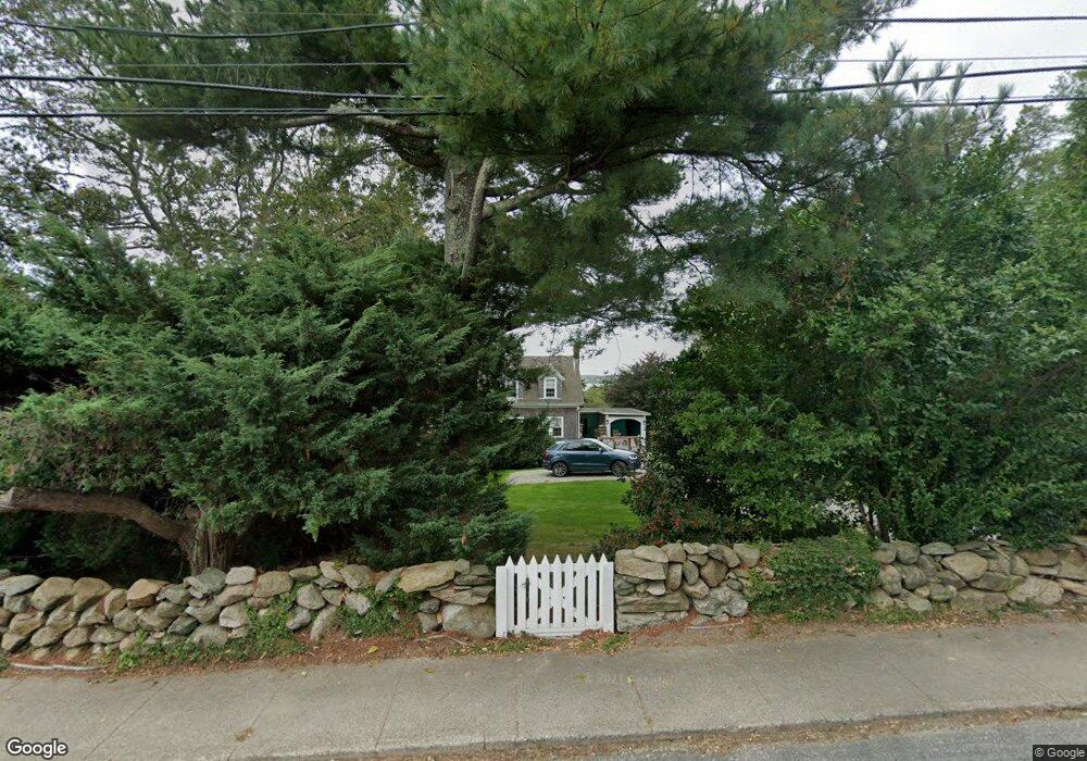
1945 Main Rd Westport Point, MA 02791
Westport Point NeighborhoodEstimated Value: $1,119,000 - $1,542,000
5
Beds
--
Bath
1,594
Sq Ft
$829/Sq Ft
Est. Value
About This Home
This home is located at 1945 Main Rd, Westport Point, MA 02791 and is currently estimated at $1,321,422, approximately $828 per square foot. 1945 Main Rd is a home with nearby schools including Alice A. Macomber Primary School, Westport Elementary School, and Westport Middle-High School.
Ownership History
Date
Name
Owned For
Owner Type
Purchase Details
Closed on
Jan 11, 2023
Sold by
Bolter Caroline L
Bought by
Caroline L Bolter Irt and Bokter
Current Estimated Value
Purchase Details
Closed on
May 17, 1976
Bought by
Brogna Caroline L
Create a Home Valuation Report for This Property
The Home Valuation Report is an in-depth analysis detailing your home's value as well as a comparison with similar homes in the area
Home Values in the Area
Average Home Value in this Area
Purchase History
| Date | Buyer | Sale Price | Title Company |
|---|---|---|---|
| Caroline L Bolter Irt | -- | None Available | |
| Caroline L Bolter Irt | -- | None Available | |
| Brogna Caroline L | -- | -- |
Source: Public Records
Tax History Compared to Growth
Tax History
| Year | Tax Paid | Tax Assessment Tax Assessment Total Assessment is a certain percentage of the fair market value that is determined by local assessors to be the total taxable value of land and additions on the property. | Land | Improvement |
|---|---|---|---|---|
| 2025 | $9,262 | $1,243,200 | $926,300 | $316,900 |
| 2024 | $8,947 | $1,157,400 | $858,200 | $299,200 |
| 2023 | $8,792 | $1,077,400 | $792,200 | $285,200 |
| 2022 | $8,456 | $997,200 | $754,500 | $242,700 |
| 2021 | $4,253 | $799,300 | $617,300 | $182,000 |
| 2020 | $4,084 | $774,600 | $592,600 | $182,000 |
| 2019 | $6,418 | $776,100 | $592,600 | $183,500 |
| 2018 | $4,900 | $599,700 | $436,100 | $163,600 |
| 2017 | $4,780 | $599,700 | $436,100 | $163,600 |
| 2016 | $4,540 | $574,000 | $436,100 | $137,900 |
| 2015 | $4,607 | $580,900 | $447,900 | $133,000 |
Source: Public Records
Map
Nearby Homes
- 1881 Main Rd
- 1749 Main Rd
- 1702J Drift Rd
- 1702 Drift Rd
- 1580 Main Rd
- 19 Seabury Ln
- 1346 Main Rd Unit B
- 99 Sylvia Ln
- 238-242 E Beach Rd
- 189 Brayton Point Rd
- 304 Brayton Point Rd
- 255 John Dyer Rd
- Lot 2 Horseneck Rd
- 225 Hixbridge Rd
- 245 John Dyer Rd
- 920 Drift Rd
- 17 Quail Trail
- 101 Adamsville Rd
- Lot 2E Horseneck Rd
- 837 Main Rd
- 1935 Main Rd
- 1953 Main Hwy
- 1940 Main Rd
- 1933 Main Rd
- 1948 Main Rd
- 1940 Main Rd
- 1954 Main Rd
- 1942 Main Rd
- 1959 Main Rd
- 1936 Main Rd
- 1958 Main Rd
- 1958 Main Rd
- 1965 Main Rd
- 1963 Main Rd
- 0 Main Rd Unit 72396824
- 0 Main Rd Unit 72396812
- 0 Main Rd Unit 72368311
- 0 Main Rd Unit 72335084
- 0 Main Rd Unit 70762097
- 0 Main Rd Unit 70846327