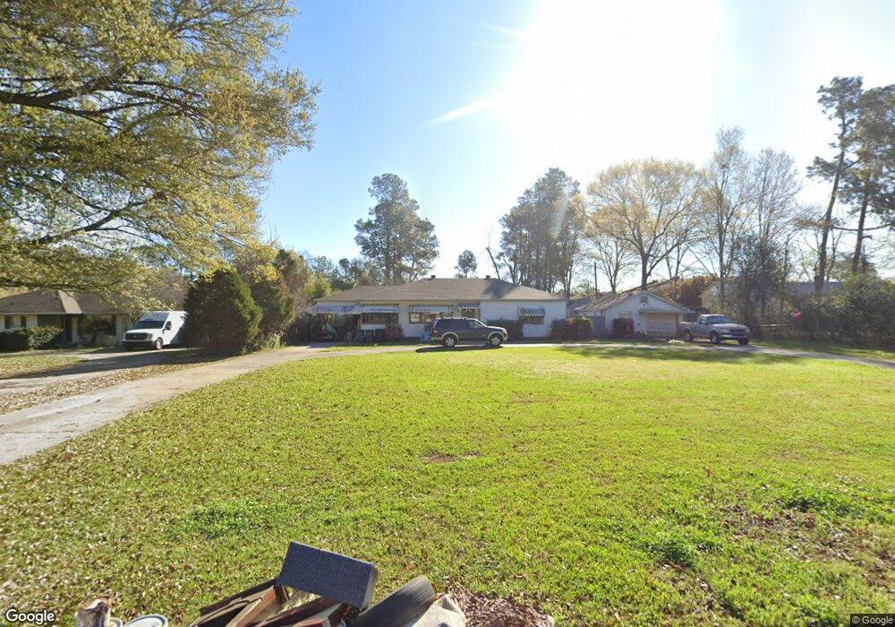
1945 Marilyn Dr Baton Rouge, LA 70815
Broadmoor/Sherwood NeighborhoodEstimated Value: $185,839 - $202,000
--
Bed
--
Bath
1,494
Sq Ft
$131/Sq Ft
Est. Value
About This Home
This home is located at 1945 Marilyn Dr, Baton Rouge, LA 70815 and is currently estimated at $196,460, approximately $131 per square foot. 1945 Marilyn Dr is a home located in East Baton Rouge Parish with nearby schools including Broadmoor Elementary School, Southeast Middle School, and Broadmoor Senior High School.
Ownership History
Date
Name
Owned For
Owner Type
Purchase Details
Closed on
Oct 31, 2011
Sold by
Warriner Sandra G
Bought by
Carr Linda L
Current Estimated Value
Home Financials for this Owner
Home Financials are based on the most recent Mortgage that was taken out on this home.
Original Mortgage
$108,000
Outstanding Balance
$74,036
Interest Rate
4.13%
Mortgage Type
New Conventional
Estimated Equity
$122,424
Create a Home Valuation Report for This Property
The Home Valuation Report is an in-depth analysis detailing your home's value as well as a comparison with similar homes in the area
Home Values in the Area
Average Home Value in this Area
Purchase History
| Date | Buyer | Sale Price | Title Company |
|---|---|---|---|
| Carr Linda L | $135,000 | -- |
Source: Public Records
Mortgage History
| Date | Status | Borrower | Loan Amount |
|---|---|---|---|
| Open | Carr Linda L | $108,000 |
Source: Public Records
Tax History Compared to Growth
Tax History
| Year | Tax Paid | Tax Assessment Tax Assessment Total Assessment is a certain percentage of the fair market value that is determined by local assessors to be the total taxable value of land and additions on the property. | Land | Improvement |
|---|---|---|---|---|
| 2024 | $1,999 | $17,069 | $1,725 | $15,344 |
| 2023 | $1,999 | $15,240 | $1,540 | $13,700 |
| 2022 | $1,820 | $15,240 | $1,540 | $13,700 |
| 2021 | $1,778 | $15,240 | $1,540 | $13,700 |
| 2020 | $1,766 | $15,240 | $1,540 | $13,700 |
| 2019 | $1,677 | $13,850 | $1,400 | $12,450 |
| 2018 | $1,657 | $13,850 | $1,400 | $12,450 |
| 2017 | $1,657 | $13,850 | $1,400 | $12,450 |
| 2016 | $1,616 | $13,850 | $1,400 | $12,450 |
| 2015 | $1,576 | $13,500 | $1,400 | $12,100 |
| 2014 | $1,570 | $13,500 | $1,400 | $12,100 |
| 2013 | -- | $13,500 | $1,400 | $12,100 |
Source: Public Records
Map
Nearby Homes
- 1919 W Magna Carta Place
- 10008 N Magna Carta Place
- 2010 Red Stick Dr
- 1850 Wimpole St
- 2031 Red Stick Villas Dr
- 10218 N Magna Carta Place
- 10123 Hyde Park Ct
- 1820 Carolyn Sue Dr Unit L
- 1820 Carolyn Sue Dr Unit B
- 2321 Emmett Bourgeois Ln
- 10115 Ambrose Ct
- 10344 Old Hammond Hwy
- 9755 Diane Ave
- 1526 Cora Dr
- 2614 Drusilla Ln
- 10555 Barbara St
- 1369 Crescent Dr
- 2860 Donald Dr
- 10656 Rondo Ave
- 1343 Crescent Dr
- 1935 Marilyn Dr
- 10069 Old Hammond Hwy
- 2040 W Magna Carta Place
- 2036 W Magna Carta Place
- 2032 W Magna Carta Place
- 2033 W Magna Carta Place
- 1923 W Magna Carta Place
- 2044 W Magna Carta Place
- 1950 Marilyn Dr
- 2035 W Magna Carta Place
- 1925 W Magna Carta Place
- 2048 W Magna Carta Place
- 2048 W Magna Carta Place Unit 115
- 2051 W Magna Carta Place
- 1925 W Magna Carta None
- 2037 W Magna Carta Place
- 1927 W Magna Carta Place
- 2053 W Magna Carta Place
- 2039 W Magna Carta Place
- 2055 W Magna Carta Place