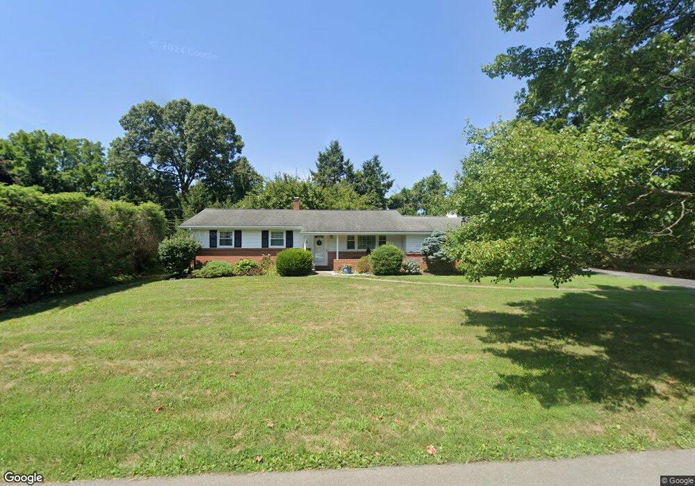
1945 Mark Twain Cir Bethlehem, PA 18017
Estimated Value: $310,894 - $355,000
3
Beds
1
Bath
973
Sq Ft
$345/Sq Ft
Est. Value
About This Home
This home is located at 1945 Mark Twain Cir, Bethlehem, PA 18017 and is currently estimated at $335,474, approximately $344 per square foot. 1945 Mark Twain Cir is a home located in Northampton County with nearby schools including Nitschmann Middle School, Liberty High School, and Lehigh Valley Academy Regional Charter School.
Ownership History
Date
Name
Owned For
Owner Type
Purchase Details
Closed on
Jan 10, 2023
Sold by
Kocon Richard
Bought by
Kocon Family Trust
Current Estimated Value
Purchase Details
Closed on
May 1, 1998
Bought by
Kocon Richard
Purchase Details
Closed on
Jul 1, 1986
Bought by
Not Provided
Create a Home Valuation Report for This Property
The Home Valuation Report is an in-depth analysis detailing your home's value as well as a comparison with similar homes in the area
Home Values in the Area
Average Home Value in this Area
Purchase History
| Date | Buyer | Sale Price | Title Company |
|---|---|---|---|
| Kocon Family Trust | -- | -- | |
| Kocon Richard | $120,000 | -- | |
| Not Provided | $80,000 | -- |
Source: Public Records
Tax History Compared to Growth
Tax History
| Year | Tax Paid | Tax Assessment Tax Assessment Total Assessment is a certain percentage of the fair market value that is determined by local assessors to be the total taxable value of land and additions on the property. | Land | Improvement |
|---|---|---|---|---|
| 2025 | $611 | $56,600 | $22,000 | $34,600 |
| 2024 | $4,126 | $56,600 | $22,000 | $34,600 |
| 2023 | $4,140 | $56,600 | $22,000 | $34,600 |
| 2022 | $4,101 | $56,600 | $22,000 | $34,600 |
| 2021 | $4,068 | $56,600 | $22,000 | $34,600 |
| 2020 | $4,073 | $56,600 | $22,000 | $34,600 |
| 2019 | $4,057 | $56,600 | $22,000 | $34,600 |
| 2018 | $3,976 | $56,600 | $22,000 | $34,600 |
| 2017 | $3,948 | $56,600 | $22,000 | $34,600 |
| 2016 | -- | $56,600 | $22,000 | $34,600 |
| 2015 | -- | $56,600 | $22,000 | $34,600 |
| 2014 | -- | $56,600 | $22,000 | $34,600 |
Source: Public Records
Map
Nearby Homes
- 3474 Lord Byron Dr
- 1560 Chaucer Ln
- 1560 Stafore Dr
- 1410 Stoke Park Rd
- 3760 Jacksonville Rd
- 4064 Autumn Ridge Rd
- 1225 Brentwood Ave
- 1179 Blair Rd
- 4145 Hanover St
- 4110 Greenfield Rd
- 2850 Red Oak Ln
- 1215 W MacAda Rd
- 4410 Greenfield Rd
- 6075 Airport Rd
- 6172 Airport Rd
- 1434 Colgate Dr
- 6080 Weaversville Rd
- 4621 Maryann Ln
- 1075 W MacAda Rd
- 922 Wedgewood Rd
- 1935 Mark Twain Cir
- 1967 Mark Twain Cir
- 1940 Mark Twain Cir
- 1930 Mark Twain Cir
- 1979 Mark Twain Cir
- 1802 Lord Byron Dr
- 1950 Mark Twain Cir
- 1960 Mark Twain Cir
- 1920 Mark Twain Cir
- 1985 Mark Twain Cir
- 3629 Emerson Cir
- 1980 Mark Twain Cir
- 3619 Emerson Cir
- 3609 Emerson Cir
- 3639 Emerson Cir
- 1801 Lord Byron Dr
- 2015 Mark Twain Cir
- 1995 Mark Twain Cir
- 1890 Mark Twain Cir
- 2025 Mark Twain Cir