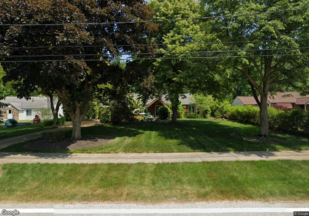
1945 Marshfield Blvd Westlake, OH 44145
Estimated Value: $318,000 - $547,000
4
Beds
2
Baths
1,837
Sq Ft
$237/Sq Ft
Est. Value
About This Home
This home is located at 1945 Marshfield Blvd, Westlake, OH 44145 and is currently estimated at $436,077, approximately $237 per square foot. 1945 Marshfield Blvd is a home located in Cuyahoga County with nearby schools including Dover Intermediate School, Lee Burneson Middle School, and Westlake High School.
Ownership History
Date
Name
Owned For
Owner Type
Purchase Details
Closed on
Feb 14, 2005
Sold by
Rocco Regina L and Karasony Rosann
Bought by
Butler Jack
Current Estimated Value
Home Financials for this Owner
Home Financials are based on the most recent Mortgage that was taken out on this home.
Original Mortgage
$75,000
Outstanding Balance
$42,289
Interest Rate
7.45%
Mortgage Type
Purchase Money Mortgage
Estimated Equity
$393,788
Purchase Details
Closed on
Jan 1, 1975
Bought by
Karasony Rosann
Create a Home Valuation Report for This Property
The Home Valuation Report is an in-depth analysis detailing your home's value as well as a comparison with similar homes in the area
Home Values in the Area
Average Home Value in this Area
Purchase History
| Date | Buyer | Sale Price | Title Company |
|---|---|---|---|
| Butler Jack | $175,000 | Guardian Title & Guaranty | |
| Karasony Rosann | -- | -- |
Source: Public Records
Mortgage History
| Date | Status | Borrower | Loan Amount |
|---|---|---|---|
| Open | Butler Jack | $75,000 |
Source: Public Records
Tax History Compared to Growth
Tax History
| Year | Tax Paid | Tax Assessment Tax Assessment Total Assessment is a certain percentage of the fair market value that is determined by local assessors to be the total taxable value of land and additions on the property. | Land | Improvement |
|---|---|---|---|---|
| 2024 | $6,652 | $137,445 | $24,920 | $112,525 |
| 2023 | $5,600 | $100,210 | $41,440 | $58,770 |
| 2022 | $5,464 | $100,210 | $41,440 | $58,770 |
| 2021 | $5,471 | $100,210 | $41,440 | $58,770 |
| 2020 | $5,184 | $85,650 | $35,420 | $50,230 |
| 2019 | $4,888 | $232,700 | $101,200 | $131,500 |
| 2018 | $4,721 | $81,450 | $35,420 | $46,030 |
| 2017 | $4,351 | $70,600 | $29,090 | $41,510 |
| 2016 | $4,070 | $66,400 | $29,090 | $37,310 |
| 2015 | $3,944 | $66,400 | $29,090 | $37,310 |
| 2014 | $3,944 | $62,410 | $25,970 | $36,440 |
Source: Public Records
Map
Nearby Homes
- 2066 Bradley Rd
- 31035 Wilderness Trail
- 1670 Cedarwood Dr Unit 148
- 31587 Turtle Cr
- 31072 Riviera Ln
- 32854 Walnut Dr
- 31000 Logan Ct
- 1510 Alder Ln Unit 7C
- 1625 Cedarwood Dr Unit 218
- V/L Rocky Ridge Dr
- 1480 Cedarwood Dr Unit 21F
- 2847 Rocky Ridge Dr
- 2891 Rocky Ridge Dr Unit V/L 173
- 2705 Rocky Ridge Dr
- 1316 Cedarwood Dr Unit D3
- 2846 Rocky Ridge Dr
- 2716 Rocky Ridge Dr
- 2678 Rocky Ridge Dr
- 2670 Rocky Ridge Dr Unit 156
- 2662 Rocky Ridge Dr Unit 157
- 1965 Marshfield Blvd
- 1925 Marshfield Blvd
- 1985 Marshfield Blvd
- 1905 Marshfield Blvd
- 2150 Lands End Ln
- 1999 Marshfield Blvd
- 1920 Marshfield Blvd
- 2168 Lands End Ln
- 1960 Marshfield Blvd
- 1940 Marshfield Blvd
- 31391 Detroit Rd
- 31415 Detroit Rd
- 1900 Marshfield Blvd
- 31369 Detroit Rd
- 2114 Lands End Ln
- 2186 Lands End Ln
- 31347 Detroit Rd
- 31435 Detroit Rd
- 31323 Detroit Rd
- 2017 Marshfield Blvd