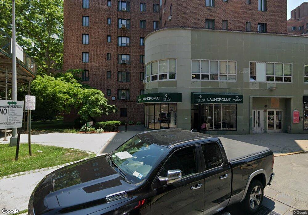
1945 Mcgraw Ave Unit 6A Bronx, NY 10462
Parkchester NeighborhoodEstimated Value: $203,940 - $284,000
Studio
--
Bath
613
Sq Ft
$405/Sq Ft
Est. Value
About This Home
This home is located at 1945 Mcgraw Ave Unit 6A, Bronx, NY 10462 and is currently estimated at $247,985, approximately $404 per square foot. 1945 Mcgraw Ave Unit 6A is a home located in Bronx County with nearby schools including P.S. 106 - Parkchester, M.S. 127 - The Castle Hill Middle School, and St Helena School.
Ownership History
Date
Name
Owned For
Owner Type
Purchase Details
Closed on
Apr 24, 2007
Sold by
Nelson William
Bought by
Jahan Shamim
Current Estimated Value
Home Financials for this Owner
Home Financials are based on the most recent Mortgage that was taken out on this home.
Original Mortgage
$106,200
Outstanding Balance
$64,423
Interest Rate
6.21%
Mortgage Type
Purchase Money Mortgage
Estimated Equity
$183,562
Purchase Details
Closed on
Dec 15, 1998
Sold by
Totaram Living Trust
Bought by
Reyes Brenda
Home Financials for this Owner
Home Financials are based on the most recent Mortgage that was taken out on this home.
Original Mortgage
$20,000
Interest Rate
6.78%
Create a Home Valuation Report for This Property
The Home Valuation Report is an in-depth analysis detailing your home's value as well as a comparison with similar homes in the area
Home Values in the Area
Average Home Value in this Area
Purchase History
| Date | Buyer | Sale Price | Title Company |
|---|---|---|---|
| Jahan Shamim | $118,000 | -- | |
| Reyes Brenda | $25,000 | Judicial Title |
Source: Public Records
Mortgage History
| Date | Status | Borrower | Loan Amount |
|---|---|---|---|
| Open | Jahan Shamim | $106,200 | |
| Previous Owner | Reyes Brenda | $20,000 |
Source: Public Records
Tax History
| Year | Tax Paid | Tax Assessment Tax Assessment Total Assessment is a certain percentage of the fair market value that is determined by local assessors to be the total taxable value of land and additions on the property. | Land | Improvement |
|---|---|---|---|---|
| 2025 | $607 | $24,539 | $565 | $23,974 |
| 2024 | $607 | $25,410 | $565 | $24,845 |
| 2023 | $596 | $26,295 | $565 | $25,730 |
| 2022 | $594 | $25,073 | $565 | $24,508 |
| 2021 | $596 | $22,687 | $565 | $22,122 |
| 2020 | $606 | $26,227 | $565 | $25,662 |
| 2019 | $534 | $25,926 | $565 | $25,361 |
| 2018 | $618 | $25,351 | $565 | $24,786 |
| 2017 | $618 | $24,840 | $566 | $24,274 |
| 2016 | $626 | $22,900 | $566 | $22,334 |
| 2015 | $531 | $21,682 | $565 | $21,117 |
| 2014 | $531 | $21,661 | $565 | $21,096 |
Source: Public Records
Map
Nearby Homes
- 1926 Mcgraw Ave
- 1922 Mcgraw Ave Unit 6I
- 1922 Mcgraw Ave Unit 1H
- 1332 Metropolitan Ave Unit 6A
- 1332 Metropolitan Ave Unit 2A
- 1332 Metropolitan Ave Unit 3H
- 1332 Metropolitan Ave Unit 5G
- 1450 Parkchester Rd Unit 3H
- 1470 East Ave Unit 5G
- 1521 Unionport Rd Unit 11G
- 1521 Unionport Rd Unit 11A
- 1480 Parkchester Rd
- 2012 Benedict Ave
- 1545 Unionport Rd Unit 6B
- 2053 Mcgraw Ave Unit 4E
- 34 Metropolitan Oval Unit 1H
- 1540 Unionport Rd Unit 7F
- 1406 White Plains Rd
- 1554 Unionport Rd Unit 3B
- 1491 West Ave Unit 2B
- 1935 Mcgraw Ave
- 1935 Mcgraw Ave Unit ME
- 1935 Mcgraw Ave Unit MD
- 1935 Mcgraw Ave Unit MA
- 1945 Mcgraw Ave Unit 7H
- 1945 Mcgraw Ave Unit 7G
- 1945 Mcgraw Ave Unit 7F
- 1945 Mcgraw Ave Unit 7E
- 1945 Mcgraw Ave Unit 7D
- 1945 Mcgraw Ave Unit 7C
- 1945 Mcgraw Ave Unit 7B
- 1945 Mcgraw Ave Unit 7A
- 1945 Mcgraw Ave Unit 6H
- 1945 Mcgraw Ave Unit 6G
- 1945 Mcgraw Ave Unit 6F
- 1945 Mcgraw Ave Unit 6E
- 1945 Mcgraw Ave Unit 6D
- 1945 Mcgraw Ave Unit 6C
- 1945 Mcgraw Ave Unit 6B
- 1945 Mcgraw Ave Unit 5H