1945 Michael Rd Monroe, GA 30656
Estimated Value: $1,015,000 - $1,453,000
--
Bed
--
Bath
5,687
Sq Ft
$220/Sq Ft
Est. Value
About This Home
This home is located at 1945 Michael Rd, Monroe, GA 30656 and is currently estimated at $1,250,577, approximately $219 per square foot. 1945 Michael Rd is a home located in Walton County with nearby schools including Monroe Elementary School, Carver Middle School, and Monroe Area High School.
Ownership History
Date
Name
Owned For
Owner Type
Purchase Details
Closed on
Oct 24, 2007
Sold by
Warren Lora
Bought by
Warren Robert D and Warren Lora A
Current Estimated Value
Home Financials for this Owner
Home Financials are based on the most recent Mortgage that was taken out on this home.
Original Mortgage
$378,908
Interest Rate
6.27%
Mortgage Type
New Conventional
Purchase Details
Closed on
Aug 26, 2003
Sold by
Warren Construction Inc
Bought by
Warren Robert D and Warren Lora
Home Financials for this Owner
Home Financials are based on the most recent Mortgage that was taken out on this home.
Original Mortgage
$273,183
Interest Rate
5.72%
Mortgage Type
New Conventional
Create a Home Valuation Report for This Property
The Home Valuation Report is an in-depth analysis detailing your home's value as well as a comparison with similar homes in the area
Home Values in the Area
Average Home Value in this Area
Purchase History
| Date | Buyer | Sale Price | Title Company |
|---|---|---|---|
| Warren Robert D | -- | -- | |
| Warren Robert D | $272,400 | -- |
Source: Public Records
Mortgage History
| Date | Status | Borrower | Loan Amount |
|---|---|---|---|
| Closed | Warren Robert D | $378,908 | |
| Previous Owner | Warren Robert D | $273,183 |
Source: Public Records
Tax History Compared to Growth
Tax History
| Year | Tax Paid | Tax Assessment Tax Assessment Total Assessment is a certain percentage of the fair market value that is determined by local assessors to be the total taxable value of land and additions on the property. | Land | Improvement |
|---|---|---|---|---|
| 2024 | $10,219 | $432,000 | $87,240 | $344,760 |
| 2023 | $9,651 | $406,120 | $82,880 | $323,240 |
| 2022 | $9,962 | $368,440 | $77,600 | $290,840 |
| 2021 | $8,521 | $288,240 | $60,280 | $227,960 |
| 2020 | $8,396 | $274,800 | $52,320 | $222,480 |
| 2019 | $7,994 | $244,240 | $46,520 | $197,720 |
| 2018 | $7,700 | $244,240 | $46,520 | $197,720 |
| 2017 | $8,228 | $238,800 | $46,520 | $192,280 |
| 2016 | $6,566 | $195,880 | $34,840 | $161,040 |
| 2015 | $6,473 | $190,080 | $36,400 | $153,680 |
| 2014 | $5,675 | $162,880 | $0 | $0 |
Source: Public Records
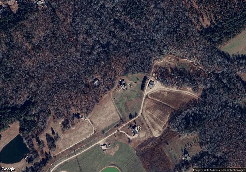
Map
Nearby Homes
- 1811 Michael Rd
- TRACT 8 Bradley Gin Rd
- TRACT 4 Bradley Gin Rd
- TRACT 2 Bradley Gin Rd
- TRACT 6 Bradley Gin Rd
- TRACT 5 Bradley Gin Rd
- TRACT 7 Bradley Gin Rd
- TRACT 3 Bradley Gin Rd
- 2955 Hearn Rd NW
- 1849 Bradley Gin Rd
- 1370 Michael Rd
- 733 Belle Vista St
- 729 Belle Vista St
- 736 Belle Vista St
- 744 Belle Vista St
- (GA)The Ellen | Front Entry Plan at Belle Woode Estates
- (GA)The Carson | Front Entry Plan at Belle Woode Estates
- (GA)The Everett | Front Entry Plan at Belle Woode Estates
- 500 Belle Woode St
- (GA)The Avondale | Front Entry Plan at Belle Woode Estates
- 1869 Michael Rd
- 1909 Mount Vernon Rd NW
- 719 Joe Griffith
- 48 Wilburn Dyress Rd
- 26 Fourth Ave
- 543 River Rd
- 25 Olivar Blanchard Dr
- 398 3rd Ave
- 1817 Michael Rd
- 1224 Bradley Gin Way
- 1220 Bradley Gin Way
- 1216 Bradley Gin Way
- 2079 Mount Vernon Rd NW
- 1212 Bradley Gin Way
- 1945 Mount Vernon Rd NW
- 1208 Bradley Gin Way
- 1965 Mount Vernon Rd NW
- 1204 Bradley Gin Way Unit Lot 14
- 0 Bradley Gin Rd NW Unit CM343820
- 1204 Bradley Gin Way