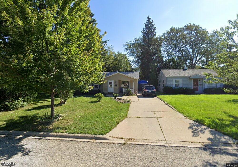
1945 N Poplar St Waukegan, IL 60087
Marquette Highlands NeighborhoodEstimated Value: $196,000 - $212,707
2
Beds
1
Bath
1,056
Sq Ft
$195/Sq Ft
Est. Value
About This Home
This home is located at 1945 N Poplar St, Waukegan, IL 60087 and is currently estimated at $205,677, approximately $194 per square foot. 1945 N Poplar St is a home located in Lake County with nearby schools including Greenwood Elementary School, Edith M Smith Middle School, and Waukegan High School.
Ownership History
Date
Name
Owned For
Owner Type
Purchase Details
Closed on
Nov 24, 1997
Sold by
Polcyn June A
Bought by
Burson Larry D and Burson Jeanette
Current Estimated Value
Home Financials for this Owner
Home Financials are based on the most recent Mortgage that was taken out on this home.
Original Mortgage
$89,610
Interest Rate
7.38%
Mortgage Type
VA
Create a Home Valuation Report for This Property
The Home Valuation Report is an in-depth analysis detailing your home's value as well as a comparison with similar homes in the area
Home Values in the Area
Average Home Value in this Area
Purchase History
| Date | Buyer | Sale Price | Title Company |
|---|---|---|---|
| Burson Larry D | $87,000 | -- |
Source: Public Records
Mortgage History
| Date | Status | Borrower | Loan Amount |
|---|---|---|---|
| Previous Owner | Burson Larry D | $89,610 |
Source: Public Records
Tax History Compared to Growth
Tax History
| Year | Tax Paid | Tax Assessment Tax Assessment Total Assessment is a certain percentage of the fair market value that is determined by local assessors to be the total taxable value of land and additions on the property. | Land | Improvement |
|---|---|---|---|---|
| 2024 | $1,057 | $52,039 | $12,219 | $39,820 |
| 2023 | $3,048 | $46,958 | $11,026 | $35,932 |
| 2022 | $3,048 | $42,182 | $9,543 | $32,639 |
| 2021 | $2,798 | $37,836 | $8,512 | $29,324 |
| 2020 | $2,749 | $35,249 | $7,930 | $27,319 |
| 2019 | $2,670 | $32,300 | $7,267 | $25,033 |
| 2018 | $1,954 | $30,755 | $10,285 | $20,470 |
| 2017 | $2,021 | $27,209 | $9,099 | $18,110 |
| 2016 | $1,645 | $23,644 | $7,907 | $15,737 |
| 2015 | $1,379 | $21,162 | $7,077 | $14,085 |
| 2014 | $1,553 | $21,181 | $6,576 | $14,605 |
| 2012 | $2,558 | $22,947 | $7,125 | $15,822 |
Source: Public Records
Map
Nearby Homes
- 1905 Linden Ave
- 616 W Keith Ave
- 2232 Walnut St
- 1018 W Atlantic Ave
- 1336 N Ash St
- 1335 Chestnut St
- 2246 Alta Vista Dr
- 301 W Eagle Ct
- 2213 Alta Vista Dr
- 0 Traditions Dr
- 1312 N Linden Ave
- 1110 N Ash St
- 1105 Woodlawn Cir
- 1504 W Glen Flora Ave
- 2350 N Lewis Ave
- 1117 Judge Ave
- 415 W Ridgeland Ave
- 918 N Ash St
- 1000 Pine St
- 2008 Harding Ave
- 1941 N Poplar St
- 1937 N Poplar St
- 2004 Ash St
- 1944 Ash St
- 708 Colville Place
- 2001 N Poplar St
- 1936 Ash St
- 1944 N Poplar St
- 1948 N Poplar St
- 1940 N Poplar St
- 2006 Ash St
- 1936 N Poplar St
- 1952 N Poplar St
- 736 Colville Place
- 2011 N Poplar St
- 705 Colville Place
- 2010 Ash St
- 2006 N Poplar St
- 703 Colville Place
- 1915 N Poplar St