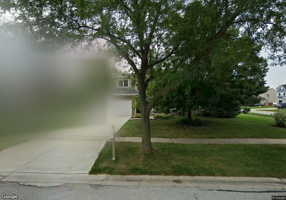
1945 Saint Clair Ln Hanover Park, IL 60133
South Tri Village NeighborhoodEstimated Value: $400,000 - $450,000
3
Beds
3
Baths
1,856
Sq Ft
$232/Sq Ft
Est. Value
About This Home
This home is located at 1945 Saint Clair Ln, Hanover Park, IL 60133 and is currently estimated at $429,882, approximately $231 per square foot. 1945 Saint Clair Ln is a home located in DuPage County with nearby schools including Elsie C. Johnson Elementary School, Stratford Middle School, and Glenbard North High School.
Ownership History
Date
Name
Owned For
Owner Type
Purchase Details
Closed on
Apr 5, 2004
Sold by
Silva Nonilon R and Gamo Silva Flora Marinela D
Bought by
Thomas Martyn S and Thomas Monica
Current Estimated Value
Home Financials for this Owner
Home Financials are based on the most recent Mortgage that was taken out on this home.
Original Mortgage
$210,000
Outstanding Balance
$93,350
Interest Rate
4.87%
Mortgage Type
Purchase Money Mortgage
Estimated Equity
$336,532
Purchase Details
Closed on
Dec 29, 1993
Sold by
Silva Nonilon R and Gamo Silva Flora Marinela D
Bought by
Silva Monilon R and Gamo Silva Flora Marinela D
Home Financials for this Owner
Home Financials are based on the most recent Mortgage that was taken out on this home.
Original Mortgage
$153,000
Interest Rate
7.35%
Create a Home Valuation Report for This Property
The Home Valuation Report is an in-depth analysis detailing your home's value as well as a comparison with similar homes in the area
Home Values in the Area
Average Home Value in this Area
Purchase History
| Date | Buyer | Sale Price | Title Company |
|---|---|---|---|
| Thomas Martyn S | $265,000 | Git | |
| Silva Monilon R | -- | Mid America Title Company |
Source: Public Records
Mortgage History
| Date | Status | Borrower | Loan Amount |
|---|---|---|---|
| Open | Thomas Martyn S | $210,000 | |
| Previous Owner | Silva Monilon R | $153,000 |
Source: Public Records
Tax History Compared to Growth
Tax History
| Year | Tax Paid | Tax Assessment Tax Assessment Total Assessment is a certain percentage of the fair market value that is determined by local assessors to be the total taxable value of land and additions on the property. | Land | Improvement |
|---|---|---|---|---|
| 2024 | $10,793 | $124,560 | $36,417 | $88,143 |
| 2023 | $10,103 | $113,010 | $33,040 | $79,970 |
| 2022 | $9,546 | $100,990 | $29,530 | $71,460 |
| 2021 | $9,178 | $95,870 | $28,030 | $67,840 |
| 2020 | $8,989 | $93,000 | $27,190 | $65,810 |
| 2019 | $8,678 | $89,680 | $26,220 | $63,460 |
| 2018 | $8,403 | $83,770 | $25,090 | $58,680 |
| 2017 | $8,329 | $80,430 | $24,090 | $56,340 |
| 2016 | $8,218 | $76,830 | $23,010 | $53,820 |
| 2015 | $8,314 | $72,730 | $21,780 | $50,950 |
| 2014 | $8,499 | $74,620 | $22,350 | $52,270 |
| 2013 | $9,129 | $82,370 | $22,880 | $59,490 |
Source: Public Records
Map
Nearby Homes
- 1711 Fulton Ln
- 4565 Dupont Dr
- 1824 Isle Royal Ln
- 1772 Howe Ln
- 2113 Glasgow Ct
- 2119 Glasgow Ct
- 1925 Grosse Pointe Ct
- 1762 De Forest Ln
- 1885 Grosse Pointe Ct
- 1773 Goddard Ln
- 1849 Whitney Dr
- 2320 Bayside Dr
- 2315 Stepstone Ln
- 2363 Cove Dr
- 460 Mayflower Ln Unit 1
- 2160 Green Bridge Ln
- 3867 Springlake Dr
- 457 Hadley Ct
- 1050 Rockport Dr Unit 233
- 1362 Nightingale Ln
- 1935 Saint Clair Ln
- 1950 Seneca Dr
- 1973 Seneca Dr
- 1925 Saint Clair Ln
- 1930 Seneca Dr
- 1944 Saint Clair Ln
- 1959 Seneca Dr
- 1952 Saint Clair Ln
- 1885 Saint Clair Ct
- 1936 Saint Clair Ln
- 1945 Seneca Dr
- 1960 Saint Clair Ln
- 1915 Saint Clair Ln
- 1928 Saint Clair Ln
- 1910 Seneca Dr
- 1895 Saint Clair Ct
- 1931 Seneca Dr
- 1968 Saint Clair Ln
- 1984 Windmill Dr
- 1920 Saint Clair Ln