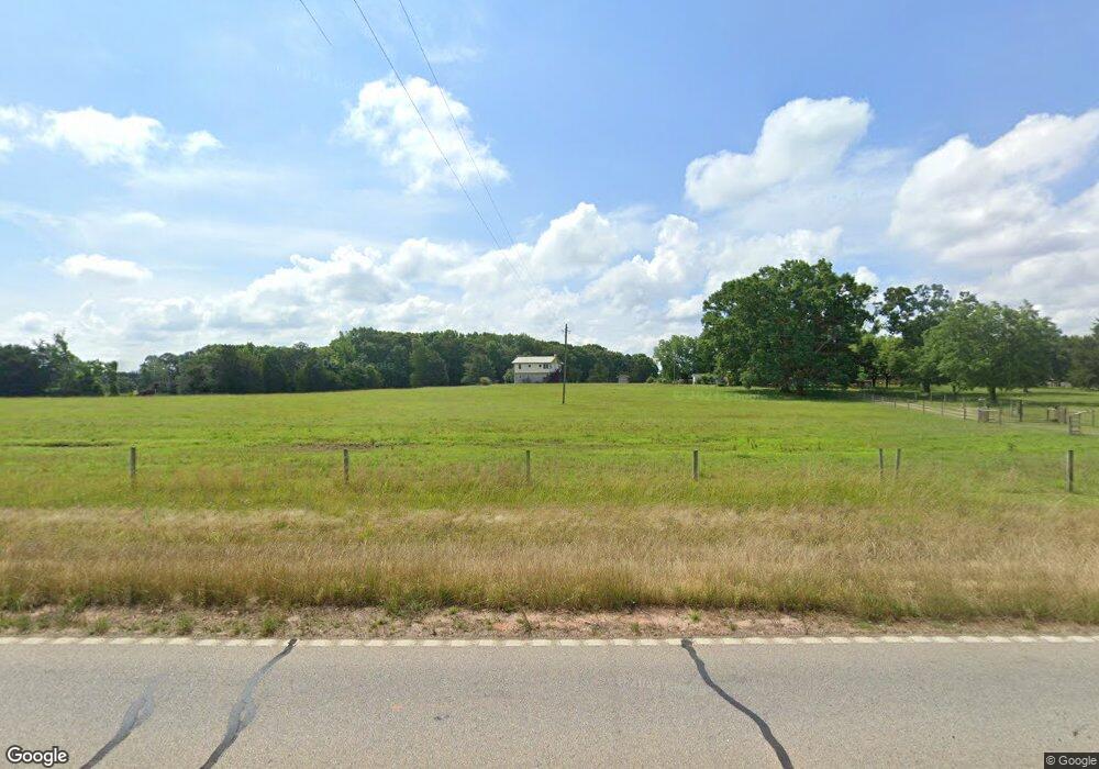
1945 Union Point Rd Stephens, GA 30667
Estimated Value: $201,000 - $366,000
2
Beds
3
Baths
1,052
Sq Ft
$257/Sq Ft
Est. Value
About This Home
This home is located at 1945 Union Point Rd, Stephens, GA 30667 and is currently estimated at $270,728, approximately $257 per square foot. 1945 Union Point Rd is a home with nearby schools including Oglethorpe County Primary School, Oglethorpe County Elementary School, and Oglethorpe County Middle School.
Ownership History
Date
Name
Owned For
Owner Type
Purchase Details
Closed on
Jun 30, 2012
Sold by
Channell E Eugene
Bought by
Channell Raymond E
Current Estimated Value
Create a Home Valuation Report for This Property
The Home Valuation Report is an in-depth analysis detailing your home's value as well as a comparison with similar homes in the area
Home Values in the Area
Average Home Value in this Area
Purchase History
| Date | Buyer | Sale Price | Title Company |
|---|---|---|---|
| Channell Raymond E | -- | -- |
Source: Public Records
Tax History Compared to Growth
Tax History
| Year | Tax Paid | Tax Assessment Tax Assessment Total Assessment is a certain percentage of the fair market value that is determined by local assessors to be the total taxable value of land and additions on the property. | Land | Improvement |
|---|---|---|---|---|
| 2024 | $1,754 | $75,408 | $3,640 | $71,768 |
| 2023 | $1,886 | $75,408 | $3,640 | $71,768 |
| 2022 | $1,512 | $60,800 | $3,640 | $57,160 |
| 2021 | $1,294 | $47,044 | $3,280 | $43,764 |
| 2020 | $988 | $47,044 | $3,280 | $43,764 |
| 2019 | $1,190 | $48,564 | $3,280 | $45,284 |
| 2018 | $1,210 | $40,073 | $1,943 | $38,130 |
| 2017 | $1,210 | $40,073 | $1,943 | $38,130 |
| 2016 | $1,183 | $40,074 | $1,943 | $38,130 |
| 2015 | -- | $40,074 | $1,943 | $38,130 |
| 2014 | -- | $40,074 | $1,943 | $38,130 |
| 2013 | -- | $40,073 | $1,943 | $38,130 |
Source: Public Records
Map
Nearby Homes
- 0 Lower Wirebridge Rd
- 181 Lower Wirebridge Rd
- 204 Maple St
- 0 Bob Smith Rd Unit 24738158
- 75 Bob Smith Rd
- 332 Oconee Forest Rd
- 334 Oconee Forest Rd
- 0 Bull Bray Rd
- 0 Georgia 22
- 60 Stephens Rd
- 00 Faust Farm Rd
- 3434 Union Point Rd
- 400 Salem Church Rd
- 30 Soggy Bottom Rd
- 0 Washington Rd Unit 10610601
- 0 Washington Rd Unit 10658301
- 360 Wolfskin Rd
- 0 Highway 77 Union Point Rd Unit 8344422
- 16 Center Church Rd
- 22 Center Church Rd
- 14 Center Church Rd
- 0 Church St Unit 7033998
- 1838 Union Point Rd
- 116 Center Church Rd
- 2007 Union Point Rd
- 861 Union Point Rd
- 0 Union Point Rd
- 1441 Union Point Rd
- 00 Union Point Rd
- 8 Compton Cir
- 18 Compton Cir
- 0 Union Point Rd Unit 8409306
- 0 Union Point Rd Unit CM959543
- 0 Union Point Rd Unit CM331443
- 0 Union Point Rd Unit 1002720
- 0 Union Point Rd Unit 10094781
- 0 Union Point Rd Unit 8948862
