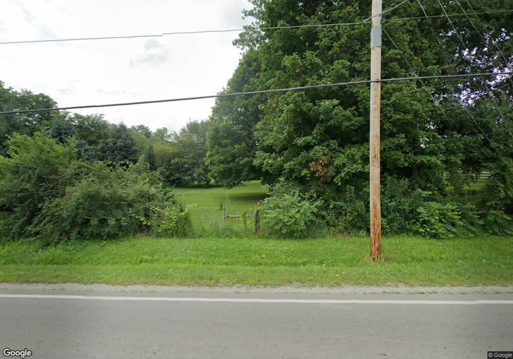
Estimated Value: $325,000 - $410,000
3
Beds
2
Baths
1,196
Sq Ft
$311/Sq Ft
Est. Value
About This Home
This home is located at 1945 Upper Bellbrook Rd, Xenia, OH 45385 and is currently estimated at $372,485, approximately $311 per square foot. 1945 Upper Bellbrook Rd is a home located in Greene County with nearby schools including Bell Creek Intermediate School, Stephen Bell Elementary School, and Bellbrook Middle School.
Ownership History
Date
Name
Owned For
Owner Type
Purchase Details
Closed on
Feb 28, 2001
Sold by
Denny Michael J and Denny Karen A
Bought by
Hoholick Marcus P and Hoholick Carrie L
Current Estimated Value
Home Financials for this Owner
Home Financials are based on the most recent Mortgage that was taken out on this home.
Original Mortgage
$132,900
Interest Rate
7.18%
Purchase Details
Closed on
Apr 30, 1998
Sold by
Booker Herbert E
Bought by
Denny Michael J and Denny Karen A
Home Financials for this Owner
Home Financials are based on the most recent Mortgage that was taken out on this home.
Original Mortgage
$94,000
Interest Rate
7.2%
Create a Home Valuation Report for This Property
The Home Valuation Report is an in-depth analysis detailing your home's value as well as a comparison with similar homes in the area
Home Values in the Area
Average Home Value in this Area
Purchase History
| Date | Buyer | Sale Price | Title Company |
|---|---|---|---|
| Hoholick Marcus P | $139,900 | -- | |
| Denny Michael J | $117,500 | -- |
Source: Public Records
Mortgage History
| Date | Status | Borrower | Loan Amount |
|---|---|---|---|
| Closed | Hoholick Marcus P | $132,900 | |
| Closed | Denny Michael J | $94,000 |
Source: Public Records
Tax History Compared to Growth
Tax History
| Year | Tax Paid | Tax Assessment Tax Assessment Total Assessment is a certain percentage of the fair market value that is determined by local assessors to be the total taxable value of land and additions on the property. | Land | Improvement |
|---|---|---|---|---|
| 2024 | $5,274 | $95,060 | $44,890 | $50,170 |
| 2023 | $5,274 | $95,060 | $44,890 | $50,170 |
| 2022 | $5,273 | $79,020 | $40,810 | $38,210 |
| 2021 | $5,332 | $79,020 | $40,810 | $38,210 |
| 2020 | $4,983 | $79,020 | $40,810 | $38,210 |
| 2019 | $4,716 | $68,540 | $40,810 | $27,730 |
| 2018 | $4,724 | $68,540 | $40,810 | $27,730 |
| 2017 | $4,741 | $68,540 | $40,810 | $27,730 |
| 2016 | $4,741 | $66,680 | $40,810 | $25,870 |
| 2015 | $4,667 | $66,680 | $40,810 | $25,870 |
| 2014 | $4,310 | $66,680 | $40,810 | $25,870 |
Source: Public Records
Map
Nearby Homes
- 1711 Mcclellan Rd
- 185 Barrington Village Dr
- 295 Stratford Ln
- 90 Pawleys Plantation Ct
- 2176 Meridian Ct
- 463 Valhalla Ct
- 2284 Annandale Place
- 29 Governors Club Dr
- 33 Governors Club Dr
- 331 N Valley Rd
- 1161 Shannon Ln
- 1248 Prem Place
- 1293 Baybury Ave
- 1292 Baybury Ave
- 1272 Baybury Ave
- 1256 Baybury Ave
- 1282 Baybury Ave
- 1298 Baybury Ave
- 414 Whisper Ln
- 1474 Hawkshead St
- 1947 Upper Bellbrook Rd
- 1989 Upper Bellbrook Rd
- 2011 Upper Bellbrook Rd
- 1922 Winding Brook Way
- 1936 Winding Brook Way
- 2019 Upper Bellbrook Rd
- 1806 Stewart Rd
- 1950 Winding Brook Way
- 1908 Winding Brook Way
- 2046 Upper Bellbrook Rd
- 1966 Winding Brook Way
- 2039 Upper Bellbrook Rd
- 2036 Upper Bellbrook Rd
- 1955 Indian Ripple Rd
- 1898 Winding Brook Way
- 1917 Winding Brook Way
- 1949 Winding Brook Way
- 2076 Upper Bellbrook Rd
- 1961 Indian Ripple Rd
- 2000 Winding Brook Way
