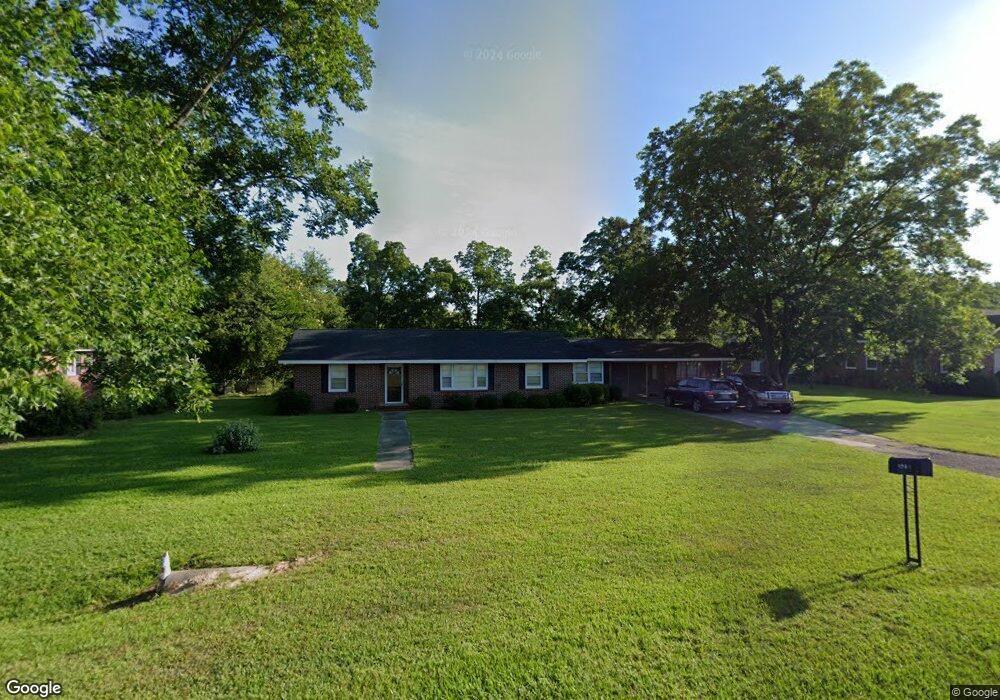
1945 Us Highway 280 Claxton, GA 30417
Estimated Value: $151,000 - $302,000
--
Bed
--
Bath
2,185
Sq Ft
$94/Sq Ft
Est. Value
About This Home
This home is located at 1945 Us Highway 280, Claxton, GA 30417 and is currently estimated at $206,230, approximately $94 per square foot. 1945 Us Highway 280 is a home with nearby schools including Claxton Elementary School, Second Chance, and Claxton Middle School.
Ownership History
Date
Name
Owned For
Owner Type
Purchase Details
Closed on
May 2, 2023
Sold by
Bellville United Methodist Church
Bought by
Triple D Enterprises Llc
Current Estimated Value
Home Financials for this Owner
Home Financials are based on the most recent Mortgage that was taken out on this home.
Original Mortgage
$128,820
Outstanding Balance
$30,754
Interest Rate
6.28%
Mortgage Type
Mortgage Modification
Estimated Equity
$175,476
Purchase Details
Closed on
Nov 6, 1995
Sold by
Sikes Chapel United Methodist Church
Bought by
Bellville United Methodist Church
Create a Home Valuation Report for This Property
The Home Valuation Report is an in-depth analysis detailing your home's value as well as a comparison with similar homes in the area
Home Values in the Area
Average Home Value in this Area
Purchase History
| Date | Buyer | Sale Price | Title Company |
|---|---|---|---|
| Triple D Enterprises Llc | $125,000 | -- | |
| Bellville United Methodist Church | -- | -- |
Source: Public Records
Mortgage History
| Date | Status | Borrower | Loan Amount |
|---|---|---|---|
| Open | Triple D Enterprises Llc | $128,820 |
Source: Public Records
Tax History Compared to Growth
Tax History
| Year | Tax Paid | Tax Assessment Tax Assessment Total Assessment is a certain percentage of the fair market value that is determined by local assessors to be the total taxable value of land and additions on the property. | Land | Improvement |
|---|---|---|---|---|
| 2024 | $1,091 | $44,560 | $2,080 | $42,480 |
| 2023 | $1,448 | $51,400 | $10,920 | $40,480 |
| 2022 | $1,448 | $51,400 | $10,920 | $40,480 |
| 2021 | $1,448 | $51,400 | $10,920 | $40,480 |
| 2020 | $1,448 | $51,400 | $10,920 | $40,480 |
| 2019 | $1,448 | $51,400 | $10,920 | $40,480 |
| 2018 | $60 | $49,200 | $10,920 | $38,280 |
| 2017 | $1,448 | $51,400 | $10,920 | $40,480 |
| 2016 | $1,345 | $47,720 | $10,920 | $36,800 |
| 2015 | -- | $49,680 | $10,920 | $38,760 |
| 2014 | -- | $50,920 | $10,920 | $40,000 |
| 2013 | -- | $50,920 | $10,920 | $40,000 |
Source: Public Records
Map
Nearby Homes
- 147 Creek Ridge Rd
- 179 Creek Ridge Rd
- 19 Collins St
- 319 A Rupert Wood Ln
- 29 Grove Ln
- 4909 Perry Rd
- 1302 Jim Sapp Rd
- 47 Manassas Station Rd
- 0 Turnpike Rd Unit SA339603
- 62 Manassas Station Rd
- 15683 Ga Highway 129 N
- 92 Graham Ln
- 0 Dublin Rd
- 308 Old Metter Rd
- 4164 Perry Rd
- 19 Wysteria Ln
- 628 Riverside Dr
- 606 Park Ave
- 610 W Liberty St
- 12 Wisteria Ln
- 1917 Us Highway 280
- 1883 Us Highway 280
- 1883 Us Highway 280
- 1883 Us Highway 280
- 1883 U S 280
- 129 S Smith St
- 1823 Us Highway 280
- 108 S Smith St
- 117 S Smith St
- 121 S Smith St
- 121 S Smith St
- 116 S Smith St
- 125 S Smith St
- 1329 Bernie Anderson Hwy
- 2283 Us Highway 280
- 1225 Bernie Anderson Hwy
- 212 N Smith St
- 211 N Smith St
- 213 Blalock St
- 209 Blalock St