Estimated Value: $438,000 - $547,000
3
Beds
3
Baths
1,636
Sq Ft
$290/Sq Ft
Est. Value
About This Home
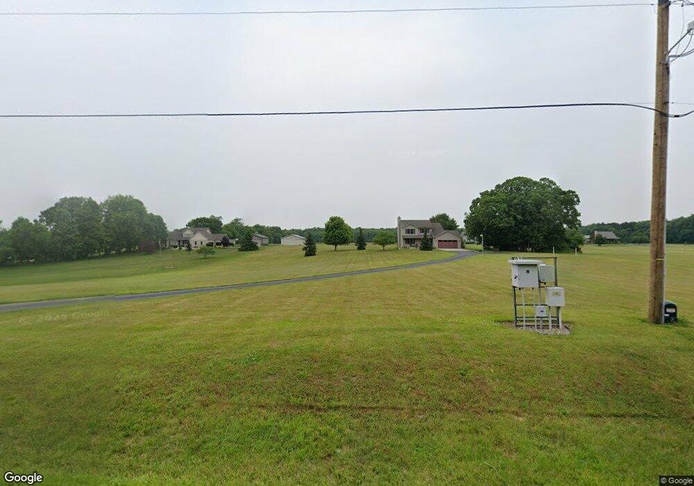
This home is located at 1945 W Bertrand Rd, Niles, MI 49120 and is currently estimated at $473,772, approximately $289 per square foot. 1945 W Bertrand Rd is a home located in Berrien County with nearby schools including Merritt Elementary School, Brandywine Elementary School, and Brandywine Middle School.
Ownership History
Date
Name
Owned For
Owner Type
Purchase Details
Closed on
Aug 29, 2025
Sold by
Kwieran Keith and Kwieran Deanne
Bought by
Kwieran Keith and Kwieran Deanne
Current Estimated Value
Purchase Details
Closed on
Jun 23, 2009
Sold by
Kronewitter Orville Andrew and Kronewitter Charmaine Marie
Bought by
Kwieran Keith and Kwieran Deanne
Home Financials for this Owner
Home Financials are based on the most recent Mortgage that was taken out on this home.
Original Mortgage
$213,600
Interest Rate
4.54%
Mortgage Type
Purchase Money Mortgage
Purchase Details
Closed on
Apr 15, 2002
Create a Home Valuation Report for This Property
The Home Valuation Report is an in-depth analysis detailing your home's value as well as a comparison with similar homes in the area
Home Values in the Area
Average Home Value in this Area
Purchase History
| Date | Buyer | Sale Price | Title Company |
|---|---|---|---|
| Kwieran Keith | -- | None Listed On Document | |
| Kwieran Keith | $267,000 | Meridian Title Corp | |
| -- | $40,000 | -- |
Source: Public Records
Mortgage History
| Date | Status | Borrower | Loan Amount |
|---|---|---|---|
| Previous Owner | Kwieran Keith | $213,600 |
Source: Public Records
Tax History Compared to Growth
Tax History
| Year | Tax Paid | Tax Assessment Tax Assessment Total Assessment is a certain percentage of the fair market value that is determined by local assessors to be the total taxable value of land and additions on the property. | Land | Improvement |
|---|---|---|---|---|
| 2025 | $2,998 | $195,200 | $0 | $0 |
| 2024 | $1,618 | $174,000 | $0 | $0 |
| 2023 | $1,541 | $154,300 | $0 | $0 |
| 2022 | $1,467 | $131,000 | $0 | $0 |
| 2021 | $2,647 | $129,900 | $31,400 | $98,500 |
| 2020 | $2,640 | $130,500 | $0 | $0 |
| 2019 | $2,592 | $103,000 | $27,500 | $75,500 |
| 2018 | $2,546 | $103,000 | $0 | $0 |
| 2017 | $2,579 | $103,500 | $0 | $0 |
| 2016 | $2,576 | $113,200 | $0 | $0 |
| 2015 | $2,467 | $114,400 | $0 | $0 |
| 2014 | $1,102 | $102,300 | $0 | $0 |
Source: Public Records
Map
Nearby Homes
- 2710 Weaver Rd
- 1680 River Bend Blvd
- 1670 River Bend Blvd
- 1650 Whitetail Cir
- 1640 Forest St
- 1860 High Meadow N
- 2080 High Meadow S
- 1610 Whitetail Cir
- 22153 Northwood Hills Blvd
- 1560 Stonecreek Dr Unit 14
- 2160 Portage Rd
- North Berrien W Bertrand Rd
- 1500 W Bertrand Rd
- 50632 K Jay Ln
- Lot 4 Persimmon Dr Unit 4
- 22264 Barking Deer Run
- 21540 Ravenna Dr
- Lot 1 Forest Lake Trail Unit 1
- 50961 Forest Lake Trail
- 50931 Birch Dr Unit 1 & 2
- 1965 W Bertrand Rd
- 1925 W Bertrand Rd
- 1905 W Bertrand Rd
- 1900 W Bertrand Rd
- 1895 W Bertrand Rd
- 1960 W Bertrand Rd
- V/L #5 Bertrand Rd
- 1865 W Bertrand Rd
- 1880 W Bertrand Rd
- 2090 W Bertrand Rd
- 1835 W Bertrand Rd
- 2040 W Bertrand Rd
- V/L #6 Bertrand Rd
- 2125 W Bertrand Rd
- 1840 W Bertrand Rd
- 2155 W Bertrand Rd
- 2150 W Bertrand Rd
- 2145 W Bertrand Rd
- 2725 Portage Rd
- 1805 W Bertrand Rd